Trip reports do more than you think: 3 case studies
Did you know that your trip reports can help improve trails in the long run? They help WTA and land managers see larger patterns in how people use trails. That helps land managers make good decisions about where to invest their time, resources and upkeep. And it helps WTA advocate for funding and policies to match what you and other hikers need.
This summer, your trip reports will matter even more. Reduced staffing across national forests and national parks means hikers should expect the unexpected. Fewer staff to maintain trails, bathrooms and campgrounds means we’ll need to pack our patience and also report back what we see to help other hikers. Amidst uncertainty, your trip reports can help others decide how to get outside safely.
But did you know that your trip reports can also help improve trails in the long run?
Information from trip reports helps WTA and land managers see larger patterns in how people use trails. That helps land managers make good decisions about where to invest their time, resources and upkeep. And it helps WTA advocate for funding and policies to match what you and other hikers need.
Case study: Making the case for funding national forest roads
This year, WTA released a report featuring 10 forest roads in Washington that are crucial to outdoor recreation. We could not have created this report without hiker input. We gained on-the-ground insights from trip reports and also a public survey that more than 1,200 hikers responded to.
The new report helps WTA show lawmakers how roads are a vital link between the public and our public lands, a link that needs funding to preserve our access to the outdoors. The report will serve hikers for years to come by helping WTA make the case for funding our national forests and the roads that get us there.
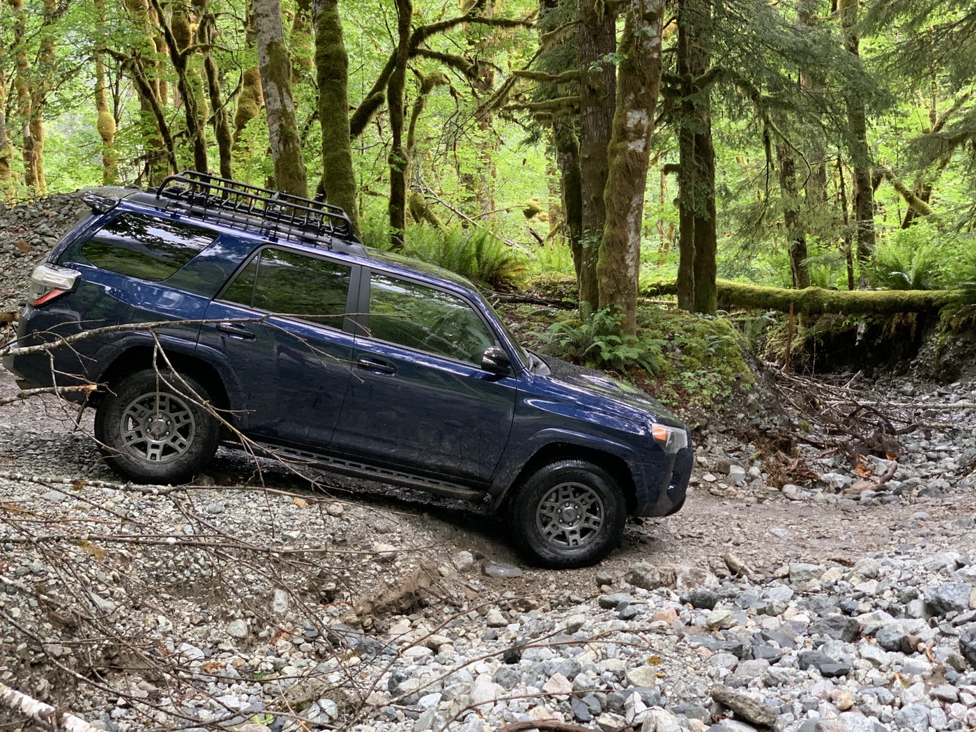
 Trip reporters shared invaluable information used in WTA's roads report, like this photo of the road to Dingford Trailhead by trip reporter jrap
Case study: Securing funding for Mountain Loop Highway trails
The Mountain Loop Highway is within an hour drive for 4 million people, many of whom are looking to get outside. But what are they looking for? WTA and Mt. Baker-Snoqualmie National Forest wanted to answer that question. We convened a group of partners, including the local community, to pool information, conduct visitor research and interpret what we learned. Together, we created a vision for trails for the south Mountain Loop Highway.
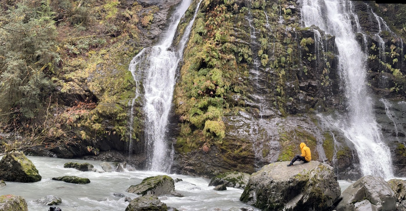
Researchers from the University of Washington's Outdoor Recreation and Data Lab used trip reports (along with many other sources of information) to understand what people were looking for when using trails along the Mountain Loop Highway. Trip reports provided useful information — for example about the popularity of trails that feature waterfalls — to help plan for future investments.
 Trip reports tell WTA and land managers what people are looking for (like waterfall hikes) to help us plan better for the future. Photo of Boulder River by trip reporter Lisl98126
Beyond this visitor research, trip reports helped WTA and our partners think through what should be included in the trails vision. Your experiences outdoors, shared through trip reports, helped us make thoughtful recommendations about the future of trails on the Mountain Loop Highway.
The strong collaboration with WTA and other partners that created the south Mountain Loop Highway vision helped Mt. Baker-Snoqualmie National Forest secure federal funding for trails in that region. That funding made it possible for the forest to fix trails to some of the area’s most popular destinations, including restoring hiking access at Big Four Ice Caves.
In this case, trip reports did more than document trail conditions. They helped partners make the case for funding, ultimately improving trails.
Case study: Ensuring everyone can get to Mount Rainier
In 2024, Mount Rainier National Park piloted a timed entry system for cars entering its most popular entrances. WTA had concerns that this would impact many people’s ability to experience the park, but we wanted to see how it worked in practice. Did the system shorten wait times at entrances, as it was intended to do?
Trip reports held part of the answer.
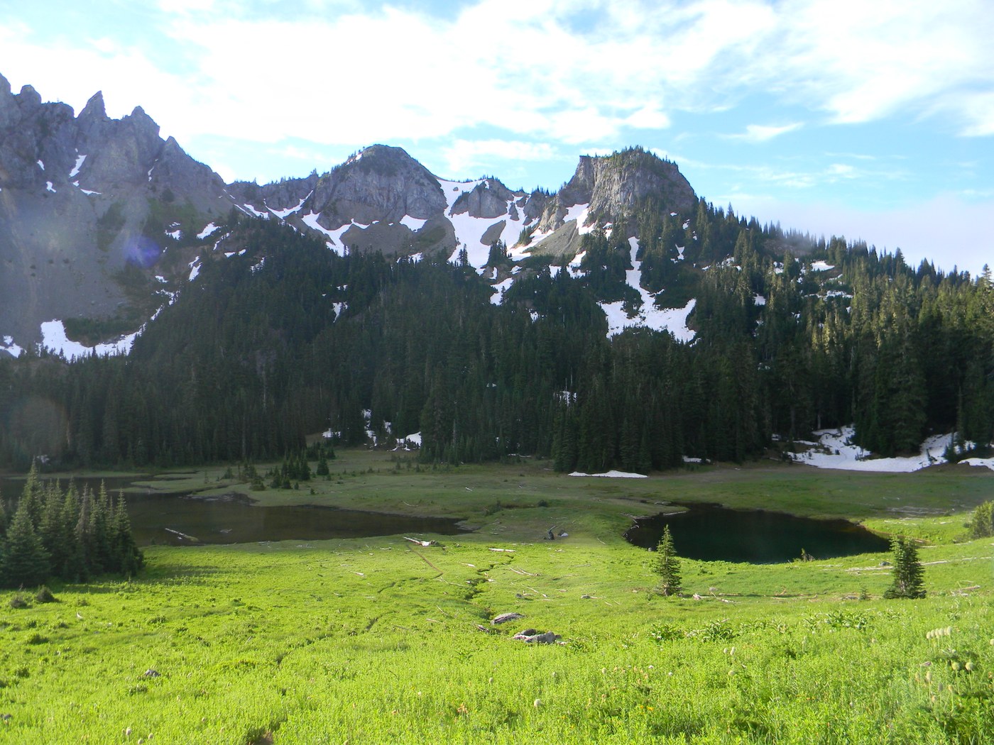
 Trip reports help WTA understand and represent your experiences as we talk with leaders in government about funding and policies for the outdoors. Photo of Owyhigh Lakes by trip reporter Jeno
“We joined the queue of cars outside the Longmire entrance at 1:55 p.m. for our 1-3 p.m. entry window. It took an hour to pass through the booth. I haven't minded the new timed reservation system but if it is still taking 1hr+ to enter the park then something isn't working,” wrote trip reporter Impromptu Disco on August 31, 2024.
“Leaving the Sunrise entrance about 2 p.m., only one car in line at the ranger station to get into the park. The timed entry system seems to be working!” wrote trip reporter HikerVick on the same day.
Trip reports helped WTA understand how timed entry was working. That gave us a better sense of some hikers’ needs as we talked with park management about the pilot.
Trip reports help WTA help hikers
WTA’s goal is to represent the voices of hikers, and we can’t do that without you. Day-to-day, trip reports provide an immediate benefit to other hikers and help land managers and trail crews. They also contribute to the longterm planning and policy work that can help us secure the future good of trails.
- Find hikes that need a report. Search the WTA Hiking Guide for places that haven’t seen a trip report this season (or even longer).
- Check out these tips for writing a trip report that’s useful to WTA and land managers.
- Most importantly, remember that any amount of information you share about any hike helps! A one-line trip report or a great photo can be enough.


Comments
Joel_Grant on Trip reports do more than you think: 3 case studies
Very good article. I sure wish they would repair the Dingford Creek Road, that area at the end is a great place to hike.
Posted by:
Joel_Grant on Jul 13, 2025 07:13 PM