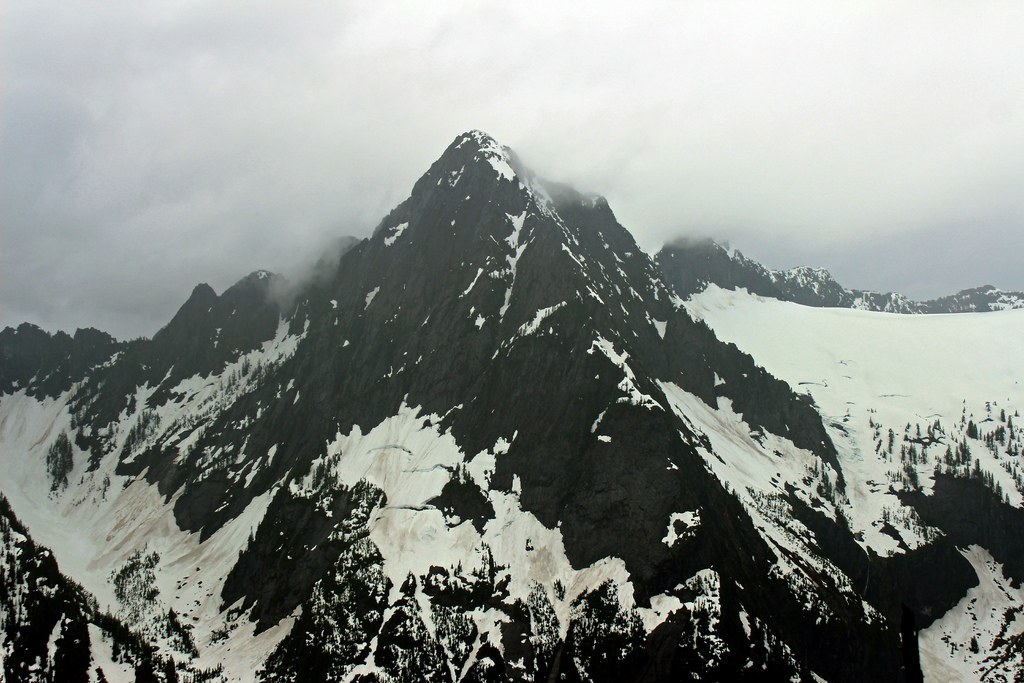

A scramble to a wooded summit near Barlow Pass. Climbing experience and route-finding skills required.
St'auk Mountain

-
 Highest Point
- 4,715 feet
A scramble to a wooded summit near Barlow Pass. Climbing experience and route-finding skills required.
Continue reading
Hiking St'auk Mountain
St'auk Mountain
Map & Directions
 Trailhead


