Trails for everyone, forever

Home Go Hiking Hiking Guide McAlester Trail

Note: Recent flooding has closed trails and roads, including major highways and forest roads. Respect closures, check forecasts, go with a backup plan, and stay safe out there. Thanks for your trip reports!


McAlester Trail

North Cascades > North Cascades Highway - Hwy 20
48.5040, -120.7168 Map & Directions

Highway 20 is closed between the Ross Dam trailhead (milepost 134) and Silver Star gate (milepost 171) for the winter season.

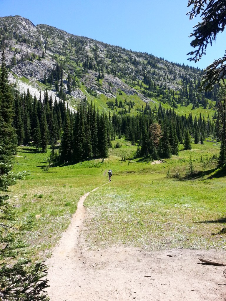
Hiking McAlester Trail

McAlester Trail

Map & Directions

Trailhead
Co-ordinates: 48.5040, -120.7168 Open in Google Maps

Before You Go

Highway 20 is closed between the Ross Dam trailhead (milepost 134) and Silver Star gate (milepost 171) for the winter season.

See weather forecast

WTA Pro Tip: Save a copy of our directions before you leave! App-based driving directions aren't always accurate and data connections may be unreliable as you drive to the trailhead.

More Hike Details

Trailhead

North Cascades > North Cascades Highway - Hwy 20

Okanogan-Wenatchee National Forest, Methow Valley Ranger District

You can improve or add to this guidebook entry!

McAlester Trail

22 Trip Reports

Hiked here recently?

Submit a trip report!
 
Loading trip reports...
Trip Reports