
The park on Harstine Island is a water-lovers paradise, where you can swim and dive, then dry off and head back to your campsite. There is also an amphitheatre and a sports field, making this location a great option for a weekend with family.
Jarrell Cove State Park

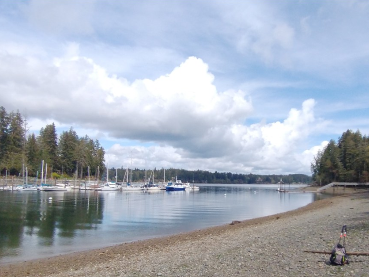
Accessible only by bridge or boat, Jarrell Cove State Park is one of a few state parks on Harstine Island. It offers saltwater access and a campground.
Continue reading
Hiking Jarrell Cove State Park
Jarrell Cove State Park
Map & Directions
 Trailhead
Before You Go
WTA Pro Tip: Save a copy of our directions before you leave! App-based driving directions aren't always accurate and data connections may be unreliable as you drive to the trailhead.
Getting There
From Shelton, drive State Route 3 east for 11 miles. Turn right on Pickering Road, following sign for "Harstine Island and Jarrell Cove SP". Bear left, cross Harstine Island Bridge, and come to a T junction. Go left on North Harstine Island drive and in 3 miles come to a four way junction. Turn right onto East Harstine Island Road North and in 1 mile turn left on Yates Road. Following this dirt road for 1 mile to the park entrance on the the right. The trailhead is .25 mile farther.


