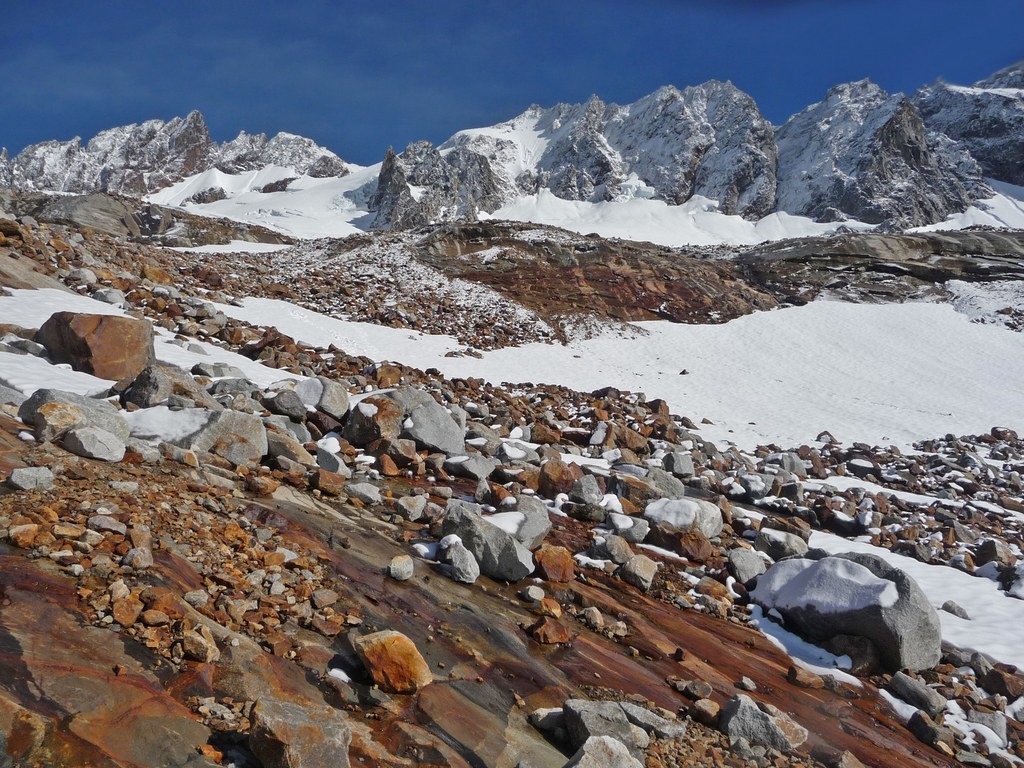
Trails for everyone, forever

Home Go Hiking Hiking Guide Boston Basin

Boston Basin

North Cascades > North Cascades Highway - Hwy 20
48.5021, -121.0676 Map & Directions

The approach trail and trailhead are temporarily closed due to bear activity.

  • Mountain views
Saved to My Backpack
Rating
4.33 out of 5

(9 votes) Log in to rate

Hiking Boston Basin

Boston Basin

Map & Directions

Trailhead
Co-ordinates: 48.5021, -121.0676 Open in Google Maps

Before You Go

A backcountry permit is required to camp overnight in the North Cascades National Park Complex (incl. Ross Lake National Rec Area and Lake Chelan National Rec Area). They are $10 per person plus a $6 non-refundable reservation fee. Permits must be picked up at the Wilderness Information Center in Marblemount. See the National Park Service website for more details on permits.

The approach trail and trailhead are temporarily closed due to bear activity.

See weather forecast

WTA Pro Tip: Save a copy of our directions before you leave! App-based driving directions aren't always accurate and data connections may be unreliable as you drive to the trailhead.

More Hike Details

Trailhead

North Cascades > North Cascades Highway - Hwy 20

You can improve or add to this guidebook entry!

Boston Basin

37 Trip Reports

Hiked here recently?

Submit a trip report!
 
Trip Reports