Trails for everyone, forever

Home Go Hiking Hiking Guide Bench Lake Loop

Alert: On Oct. 1 the federal government began a partial shutdown that will impact National Parks, National Wildlife Refuges and U.S. Forest Service lands in Washington. Here's the latest information we have for hikers and campers


Bench Lake Loop

South Cascades > Mount Adams Area
46.1612, -121.4009 Map & Directions
Length
3.4 miles, roundtrip
Bench Lake. Photo by Nutmeg. Full-size image
  • Lakes
  • Mountain views
  • Rivers
Saved to My Backpack

A hike near Mount Adams. Continue reading

Rating
5.00 out of 5

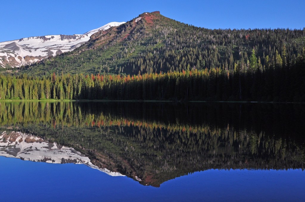
Hiking Bench Lake Loop

A $5 day-use fee to help defray tribal expenses is required at this location and is available at the trailhead.

WTA worked here in 2023!

Bench Lake Loop

Map & Directions

Trailhead
Co-ordinates: 46.1612, -121.4009 Open in Google Maps

Before You Go

See weather forecast

WTA Pro Tip: Save a copy of our directions before you leave! App-based driving directions aren't always accurate and data connections may be unreliable as you drive to the trailhead.

Getting There

From Highway 14, take the exit for WA-141 N near White Salmon. Continue for 19 miles. Make a slight right onto Mount Adams Road (follow signs for Sno-Park/Recreation Area) and continue for another 4.5 miles. Take a right onto Forest Road 82 and follow for 6 miles. Then take a slight left onto Forest Road 8290. Follow 8290 for another 5 miles until it takes a slight right and becomes BIA Road 208. The trailhead will be on your left as you approach the lake.

More Hike Details

Trailhead

South Cascades > Mount Adams Area

Bench Lake Loop (#10)

Yakama Nation Mt. Adams Recreation Area, Yakama Nation

Guidebooks & Maps

USFS Mount Adams

Buy the Green Trails Mt Adams No. 367S map

You can improve or add to this guidebook entry!

Bench Lake Loop

6 Trip Reports

Hiked here recently?

Submit a trip report!
 
Trip Reports