Trails for everyone, forever

Home Go Hiking Hiking Guide Beach 2

Beach 2

Olympic Peninsula > Pacific Coast
47.5912, -124.3667 Map & Directions
Length
0.2 miles, roundtrip
Elevation Gain
30 feet
Highest Point
30 feet
Calculated Difficulty About Calculated Difficulty
Easy
View to the south from Beach 2. Photo by Eric Nagle. Full-size image
  • Coast
  • Dogs allowed on leash
  • Good for kids

Parking Pass/Entry Fee

National Park Pass
Saved to My Backpack

A short walk through a forest to a long beach. Continue reading

Rating
0.00 out of 5

(0 votes) Log in to rate

Hiking Beach 2

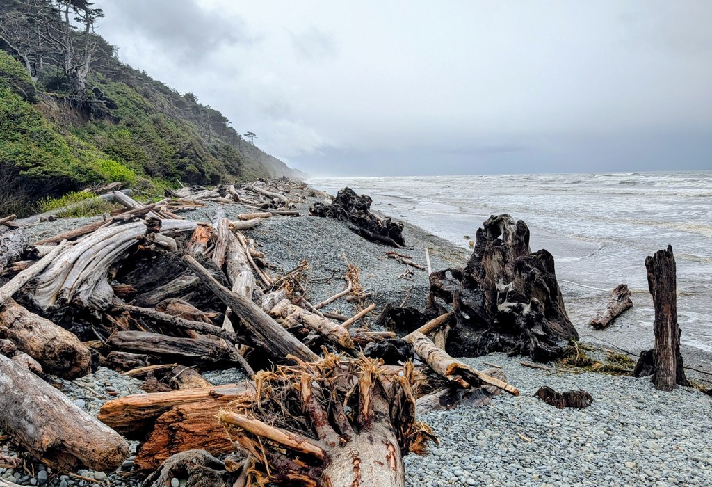
The trail starts on Highway 101 just north of the parking area. It heads straight toward the beach for a tenth of a mile through a burled Sitka spruce forest, staying level until it drops 30 feet to the beach, where a tangle of driftwood logs may have to be negotiated before reaching the sand. The beach runs straight north and south for miles.

Toilet Information

  • No toilet at trailhead

More information about toilets

Hike Description Written by
Eric Nagle, WTA Correspondent

Beach 2

Map & Directions

Trailhead
Co-ordinates: 47.5912, -124.3667 Open in Google Maps

Before You Go

See weather forecast

Parking Pass/Entry Fee

National Park Pass

WTA Pro Tip: Save a copy of our directions before you leave! App-based driving directions aren't always accurate and data connections may be unreliable as you drive to the trailhead.

Getting There

The trailhead is on U.S. Hwy 101 a mile south of Kalaloch Lodge, and is marked with “Beach 2” sign. There is parking for two vehicles on the west side of the road, and for two more on the east side.

More Hike Details

Trailhead

Olympic Peninsula > Pacific Coast

Olympic National Park

You can improve or add to this guidebook entry!

Beach 2

1 Trip Report

Hiked here recently?

Submit a trip report!
 
Loading trip reports...
Trip Reports