


Act now to protect Roadless Rule and 45 million acres — 10 stunning images show what's at risk


For the past generation, the Roadless Rule has kept more than a quarter of our national forests safe. Right now, those protections are at risk, but you can take 30 seconds to speak up.
What do Baker Lake, Heather-Maple Pass Loop and Lake Chelan have in common? They are all protected by the Roadless Area Conservation Rule. For the past generation, the Roadless Rule has kept more than a quarter of our national forests safe.
But right now those protections are at risk. This week, the U.S. Department of Agriculture (USDA) is taking the next step towards removing the Roadless Area Conservation Rule.
The Roadless Rule protects superb hiking, wildlife habitat and clean drinking water for 80 million people nationally — including communities in Washington state — by preventing activities like road construction and logging.
And removing the Roadless Rule would come with a big risk: Building roads could mean more wildfires. A 2026 U.S. Forest Service study found that nearly two-thirds of human-caused fires happen along roadsides. (And 95 percent of wildfires are started by humans.)
Comment now to speak up, and then check out these 10 stunning images from areas protected by the Roadless Rule and explore this interactive map from our partners at Outdoor Alliance to find more Roadless Areas around Washington.
liberty bell
Roadless area: Liberty Bell
Region: North Cascades
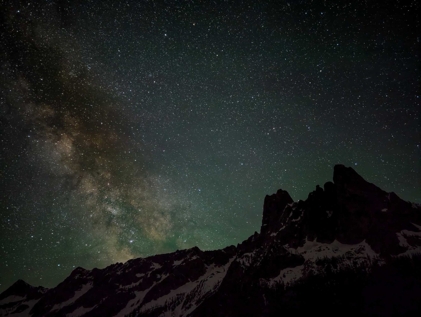 Liberty Bell Mountain under the stars. Photo by trip reporter Mancunian_hiker
Hidden Lake Lookout
Roadless area: Hidden Lake
Region: North Cascades
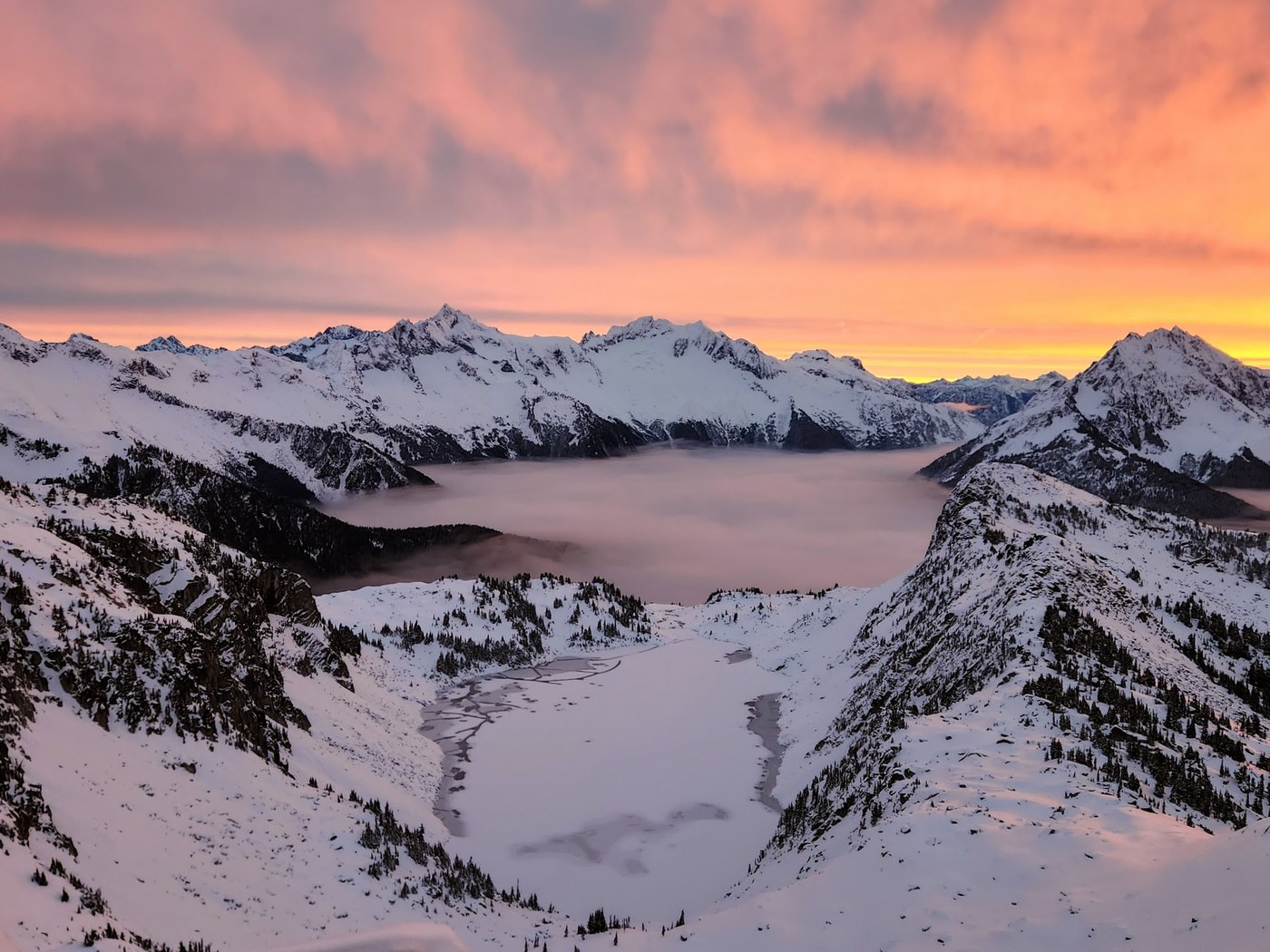 A magical winter sunset over frozen Hidden Lake. Photo by trip reporter thenomadicartist
Golden Lakes Loop/Sawtooth Lakes Loop
Roadless area: Sawtooth
Region: North Cascades
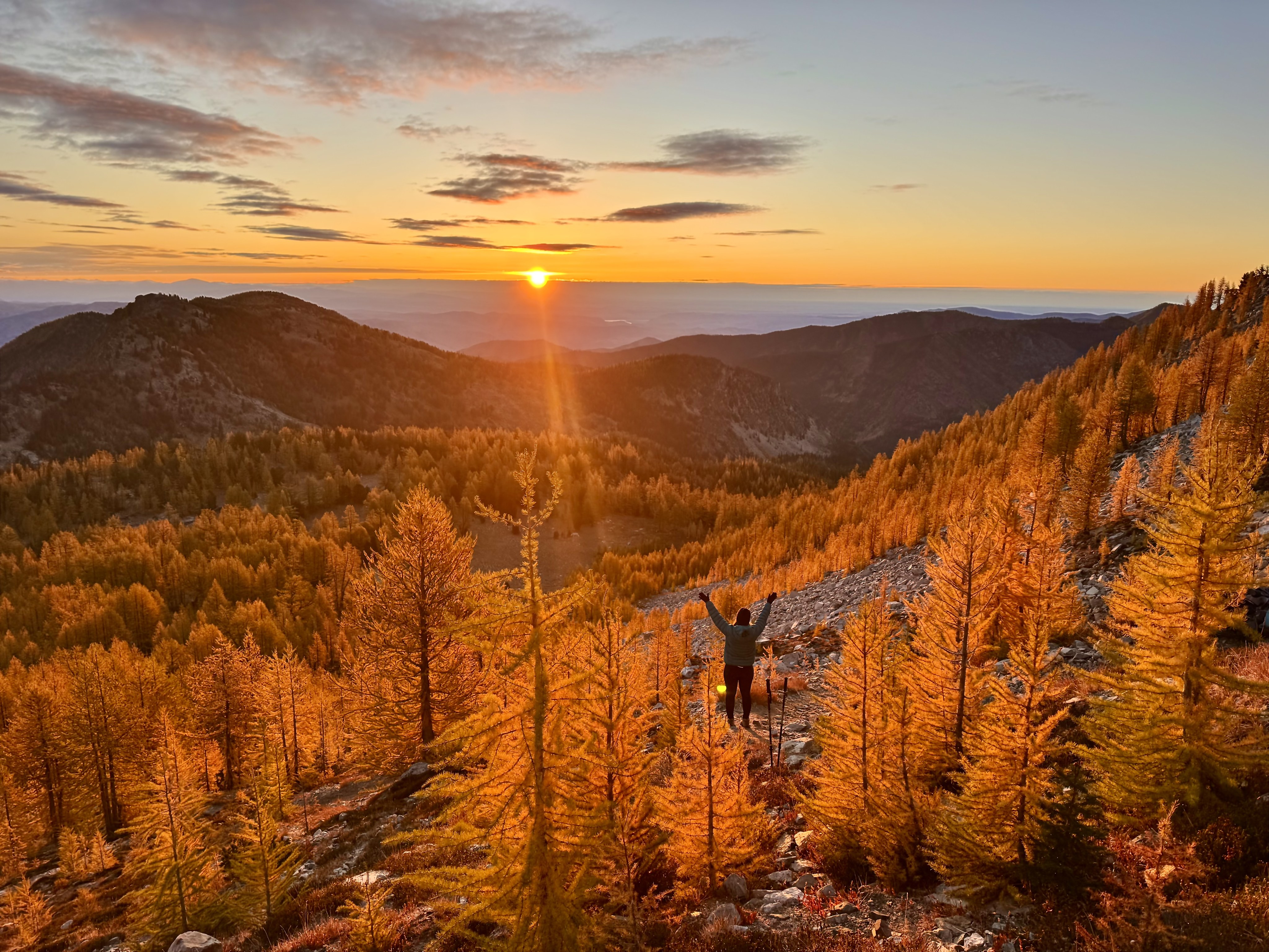 The feeling when the sun finally pops over the ridge on a frigid fall morning. Photo and caption by Katie Egresi
sasse ridge
Roadless area: Teanaway
Region: Central Cascades
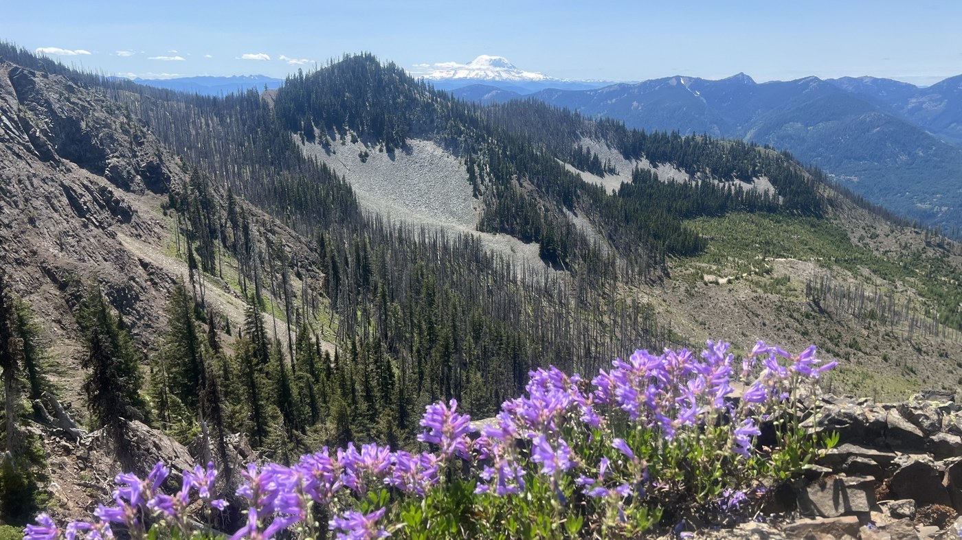 Layers of peaks visible from Sasse Ridge. Photo by trip reporter kidz won't hike
Tongue Mountain
Roadless area: Dark Divide
Region: South Cascades
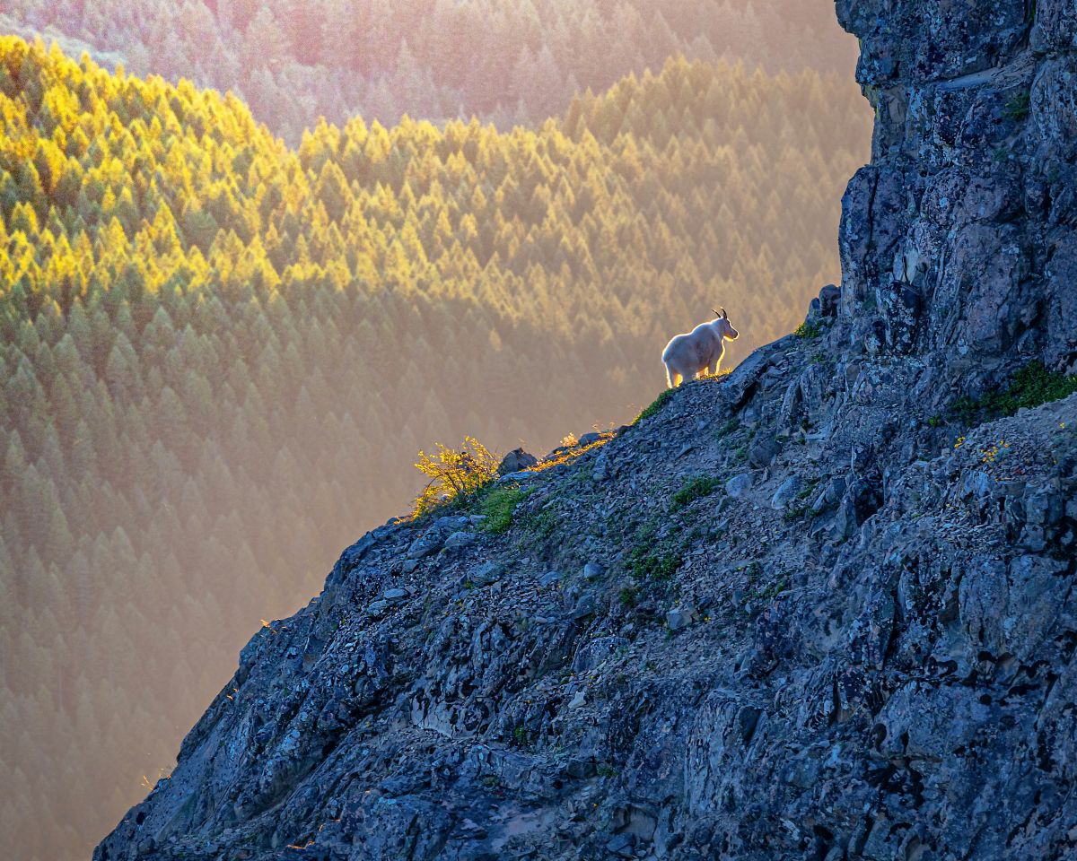 A mountain goat catches the light on Tongue Mountain. Photo by James Abraham
Silver Star Mountain
Roadless area: Silver Star
Region: South Cascades
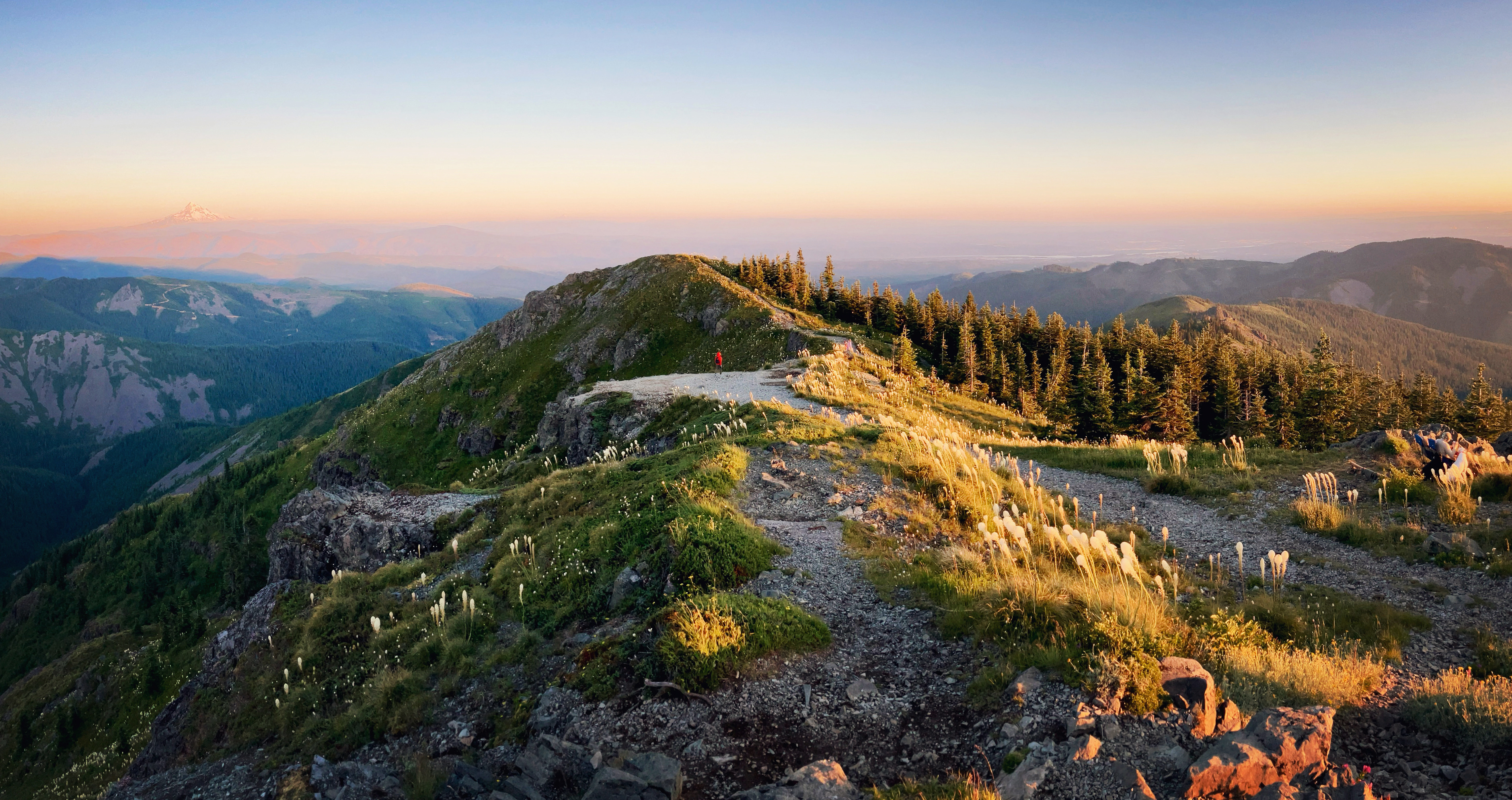 The peak of Silver Star mountain made festive by blooming beargrass. Photo by Danielle Nelson
Quinault Rainforest Nature Loop
Roadless area: South Quinault
Region: Olympics west
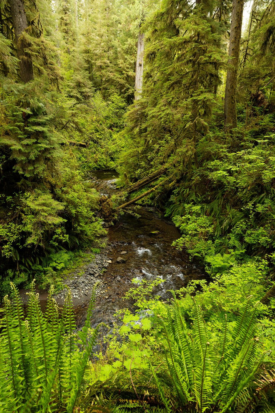 The rainforest in all its shades of green. Photo by trip reporter Grummer
Dirty Face Ridge
Roadless area: Quilcene
Region: Olympics east
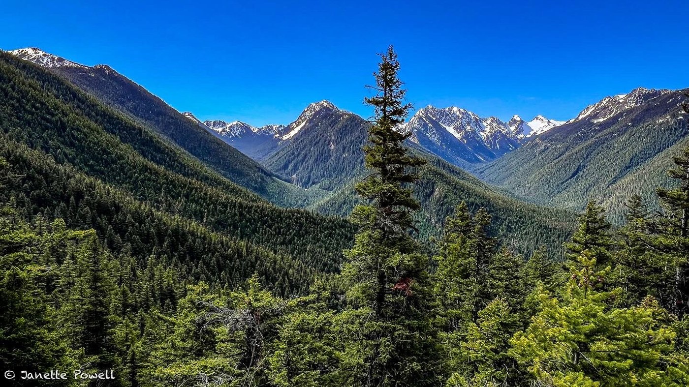 Endless valleys of evergreens. Photo by Janette Powell
Hall Mountain
Roadless area: Grassy Top
Region: Eastern Washington
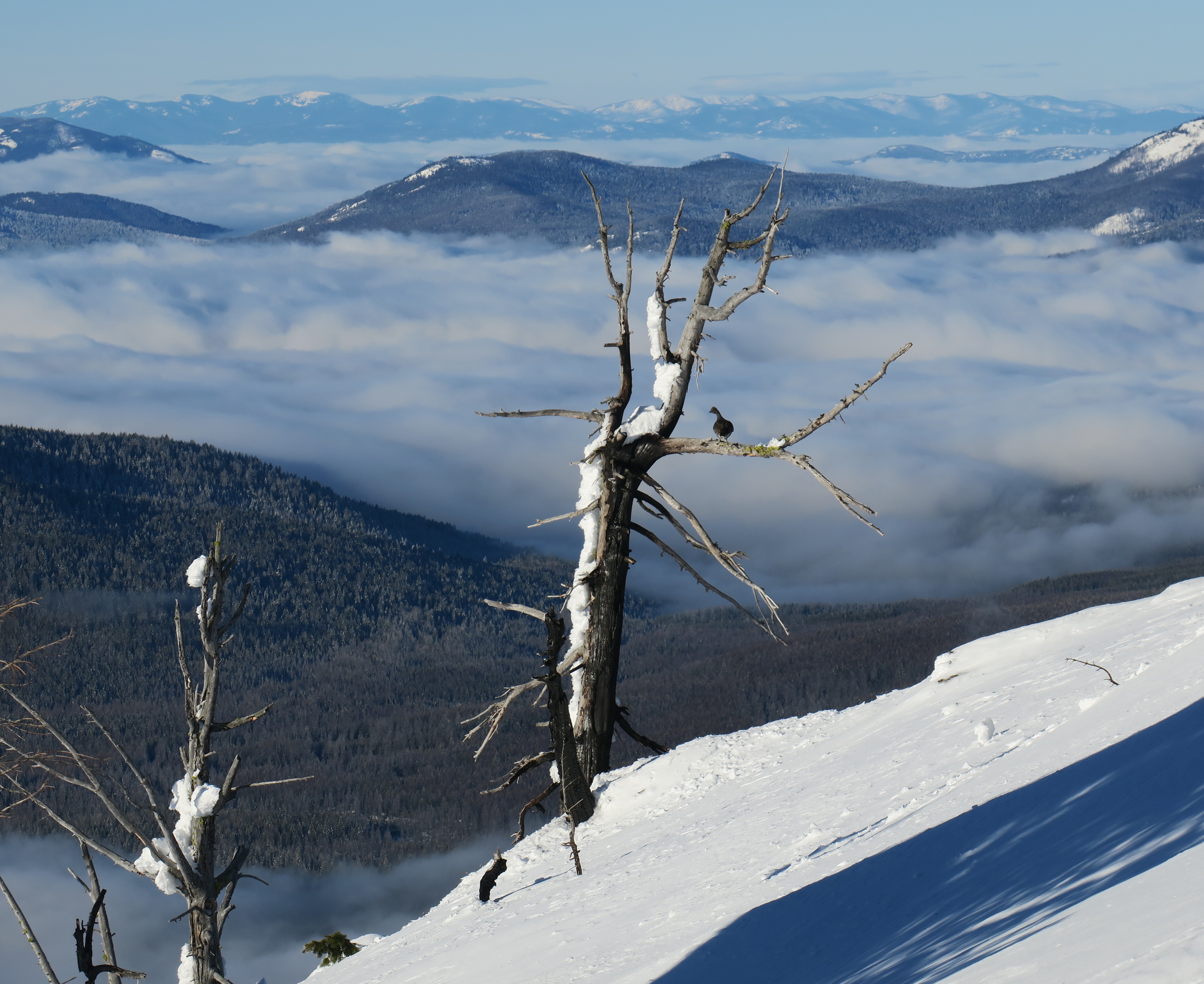 A grouse looks over the Selkirk mountains. Photo by Ken Vanden Heuvel
Pinkham Butte
Roadless area: Asotin Creek
Region: Palouse and Blue mountains
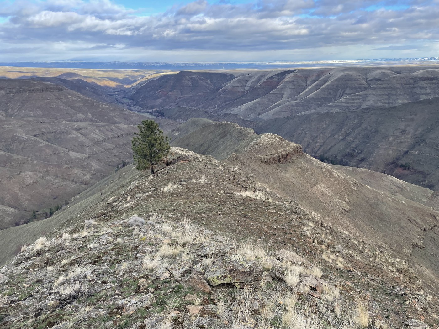 Find wide-open views and huge skies at Pinkham Butte. Photo by trip reporter RichP
Comments
The roadless rule should be retained at all cost. Once these sacred lands, which belong to all of us, are given to the logging industry they will be destroyed forever. These wilderness areas are sacred to me.
Posted by:
Inge Johnsson on Aug 26, 2026 09:19 PM