


WTA's Dark Places Digest
When a meteor shower falls on a weeknight, it can be hard to think of a place far enough away from light pollution that you can see celestial activity but still be home in time for work the next day. Here are some places where you can see a shooting star without planning a backpacking trip.
(If you can spend the night or are willing to wake up super early, we included a few state park locations on this list with camping options.)
Here are some special considerations for being outside at night.
- See in the dark: Bring a headlamp or a flashlight for each person in your group. Save your eyes (and your companions) from light blindness by using the red setting on your headlamp or flashlight. Don't have a red light? Just tape some red plastic wrap over the light.
- Stay found: Go somewhere you feel comfortable navigating in the dark.
- Share your plans: Let someone know your itinerary. Tell your contact where you're going, how long you plan to be gone, and what time you'll be back.
- Bundle up: Dress warmly and bring blankets.
- Step lightly: As in the daytime, be sensitive to vegetation. Set up your watch spot (blankets, chairs, etc) on hard packed dirt, rocks, snow or durable surfaces, never in meadows or on fragile plants. (Some alpine vegetation can take many years to recover from disturbances.)
- Document it: Brush up on your nighttime photography skills.
- Verify camping rules: Read up on the camping restrictions for where you're going. Some places are day-use only and don't allow for overnight use. You might be able to stop by for some astrophotography or stargazing, but you can't set up there for the night.
Central Washington

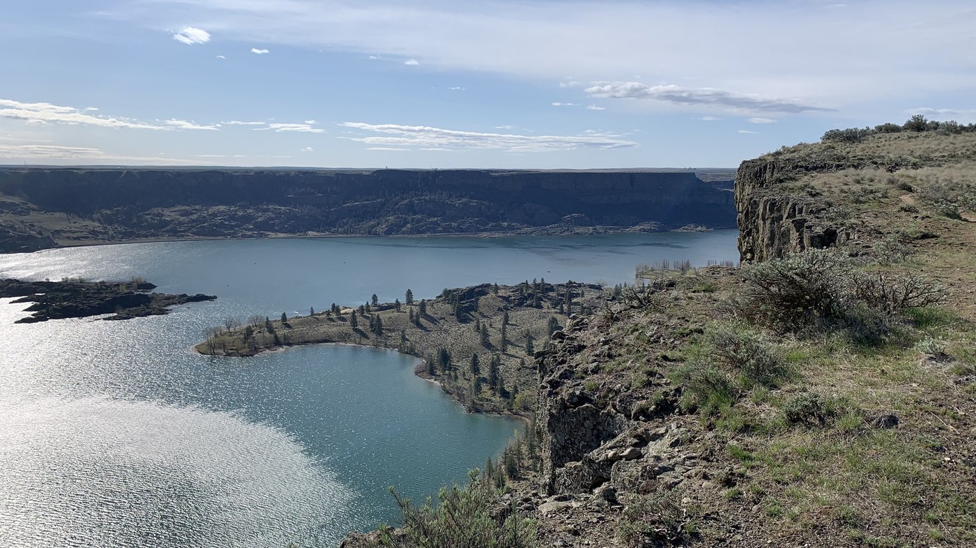
The views from the top of Steamboat Rock are incredible; the night sky is even better. Photo by trip reporter hikethe100.
The starry skies at Steamboat Rock are absolutely astounding. If you can, make this one an overnight; the stars here are some of the brightest in the state, and the sounds of a desert at night are hypnotically relaxing. In case this is a longer drive for you, double-check that you have everything you might want for the evening, including a Discover Pass.
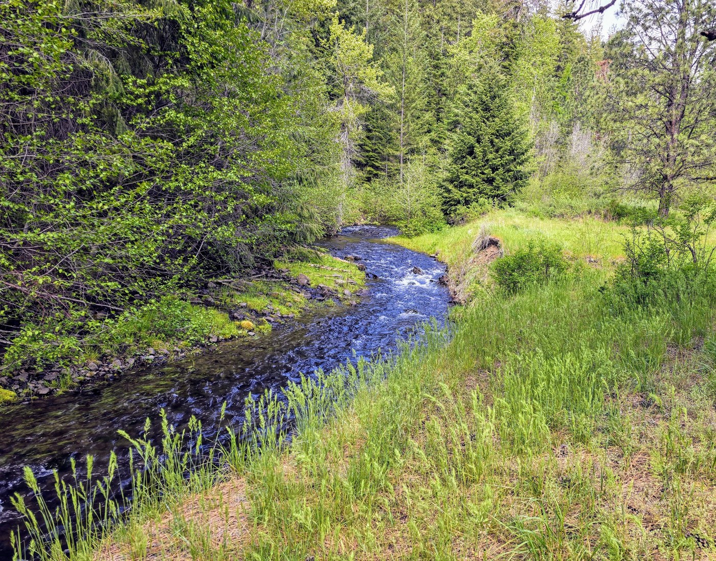
Cascade Park is a lovely place for a day hike, and great for star viewing when not cloudy! Photo by trip reporter AlpsDayTripper.
A popular camping and birding spot, this area is best known for its free (with Discover Pass) camping. There are no official trails here, just a few old roads, but as a place to camp and enjoy the stars, this one is hard to beat. Try to arrive before dark, and if you arrive after sunset, be sure to be respectful of other campers if you are using your headlights.
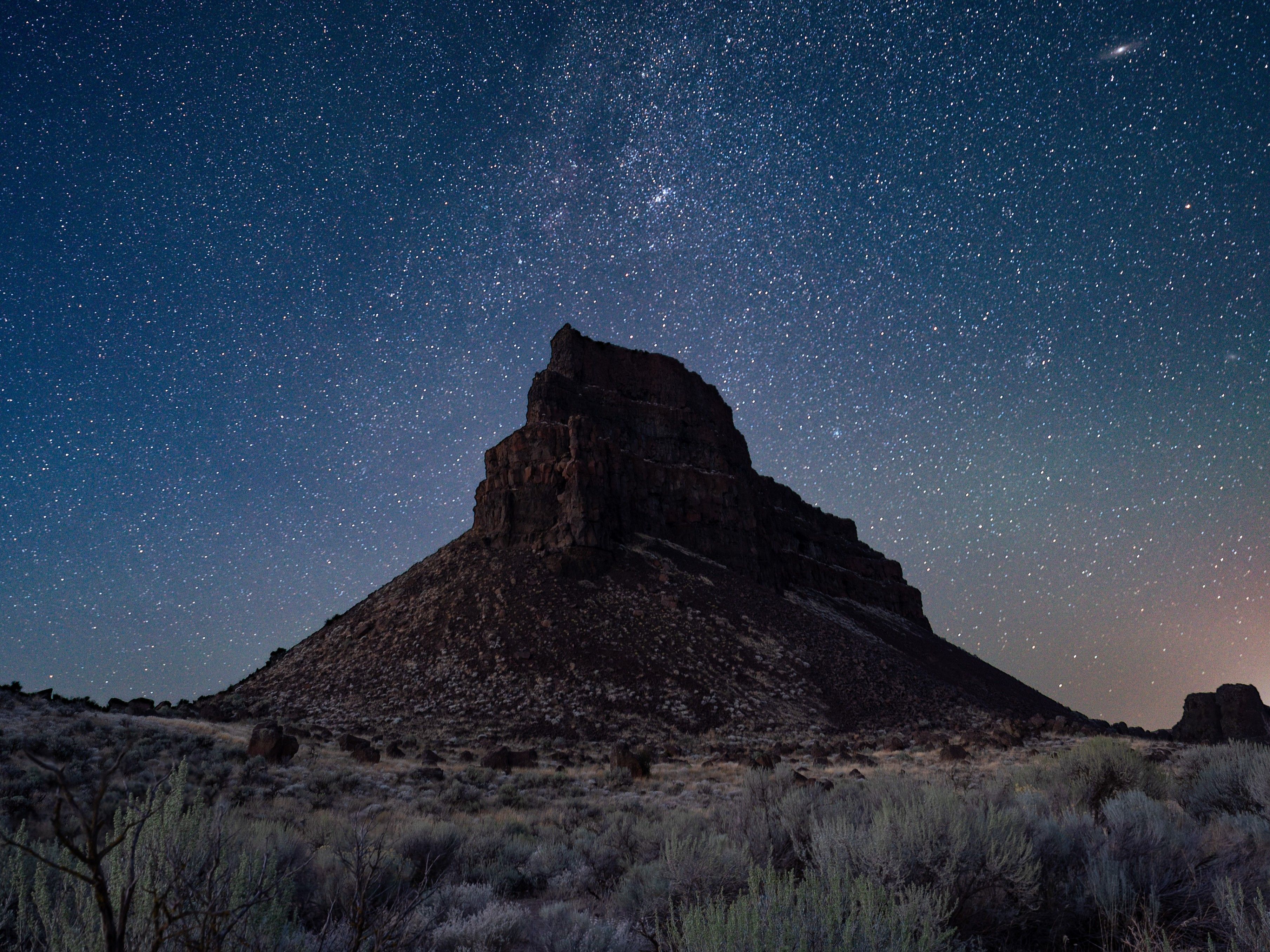 Sun Lakes - Dry Falls State Park has great big skies and a lot of miles of trail, but you can see the night sky right off the highway. Photo by William Chinda.
Really, all you need to do to catch amazing stars from here is stop at the overlook. There are many miles of trails to explore, but you'll get a good view right from the parking area. If you want to stay the night and tromp the trails, get a spot in the campground, about a quarter-mile and a few hundred feet lower than the overlook.
Puget Sound and Snoqualmie Area
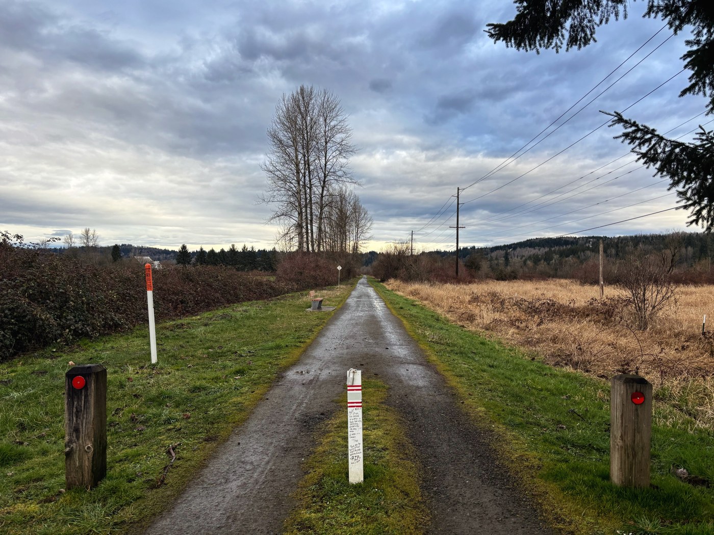
The Snoqualmie Valley Trail has multiple access points and plenty of views of the sky for meteor shower viewing. Photo by trip reporter Liliana Elizabeth.
The 32-mile Snoqualmie Valley Trail winds through the Snoqualmie Valley and has multiple access points. Though many sections traverse through a tunnel of trees, there are some spots with great views of the sky, including Taylor's Landing and just east of North Bend. The 356th Pl SE access to this trail is a wheelchair-friendly lot!
Moran State Park - Mount Constitution via Mountain Lake

-
 Length
- 6.7 miles, roundtrip
-
 Elevation Gain
- 1,500 feet
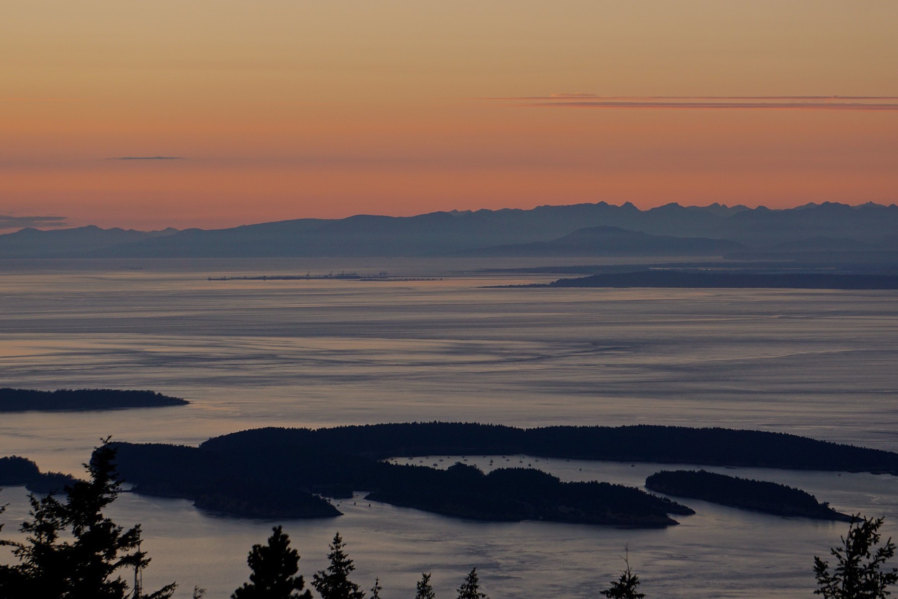
View from the summit of Mount Constitution. Photo by Lauren Leakey.
As the highest point on Orcas Island, Mount Constitution offers unparalleled views over Puget Sound. It's great for hikers of all abilities; gung-ho hikers can make the exhilarating push to the top, while more easy-going folks can drive to the summit. Because it's in a state park, hikers who want to take advantage of Mount Constitution as a night hike will have to camp, so be sure to have a Discover Pass and a campsite picked out. Of course, you can take off as early as you like if you've got to get to school or work.
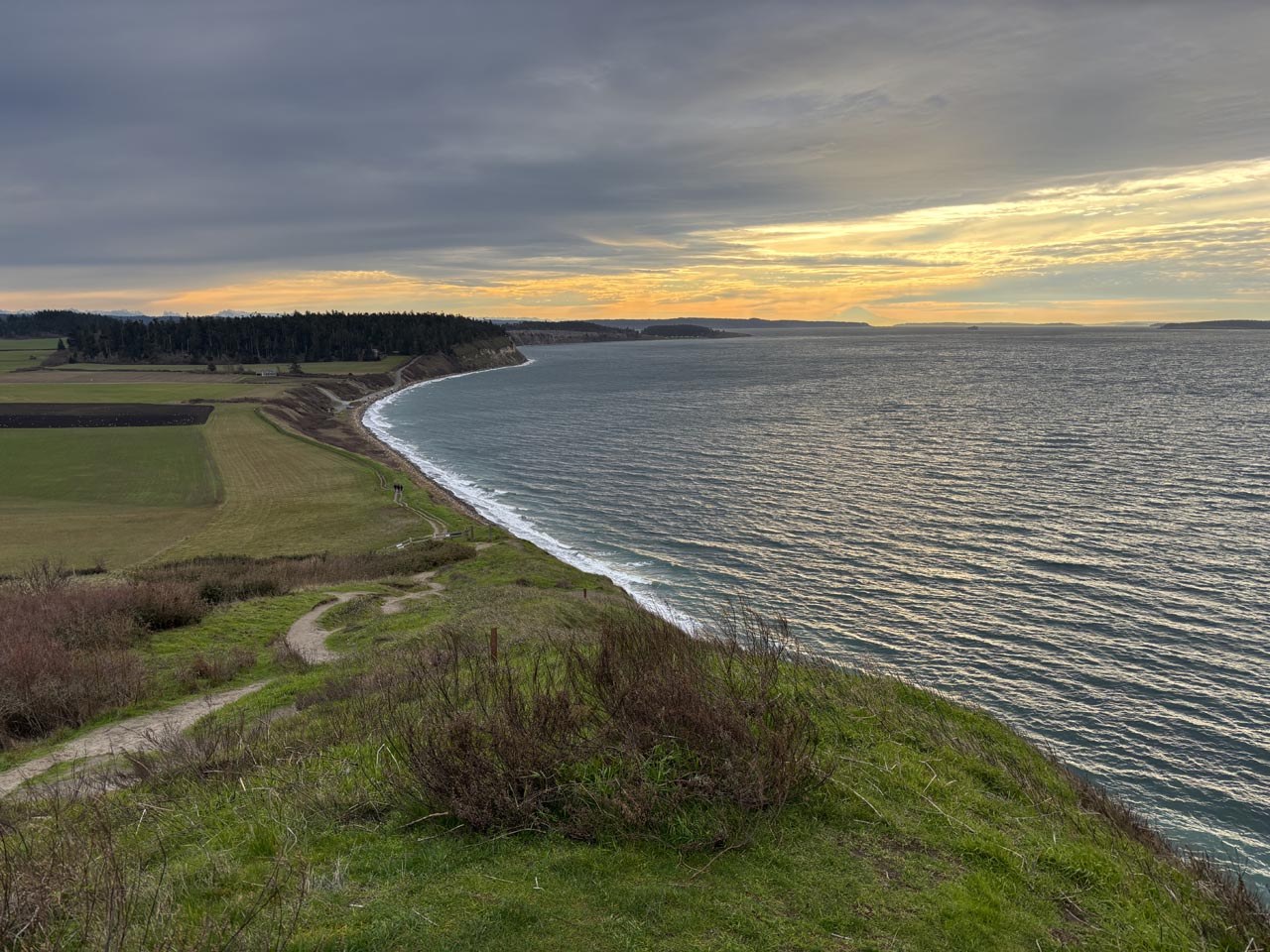
Clear views of the sky and water make Ebey's Landing a great place to watch the sunset or the stars. Photo by trip reporter DK1998.
Ebey's Landing offers hikers the option of either hiking up to the top of the bluff for high-up views after a climb or hiking along the beach without making a climb. Make sure to park at the Prairie Overlook trailhead if going for some stargazing, as the Ebey's Landing trailhead closes at dusk.
Southwest Washington

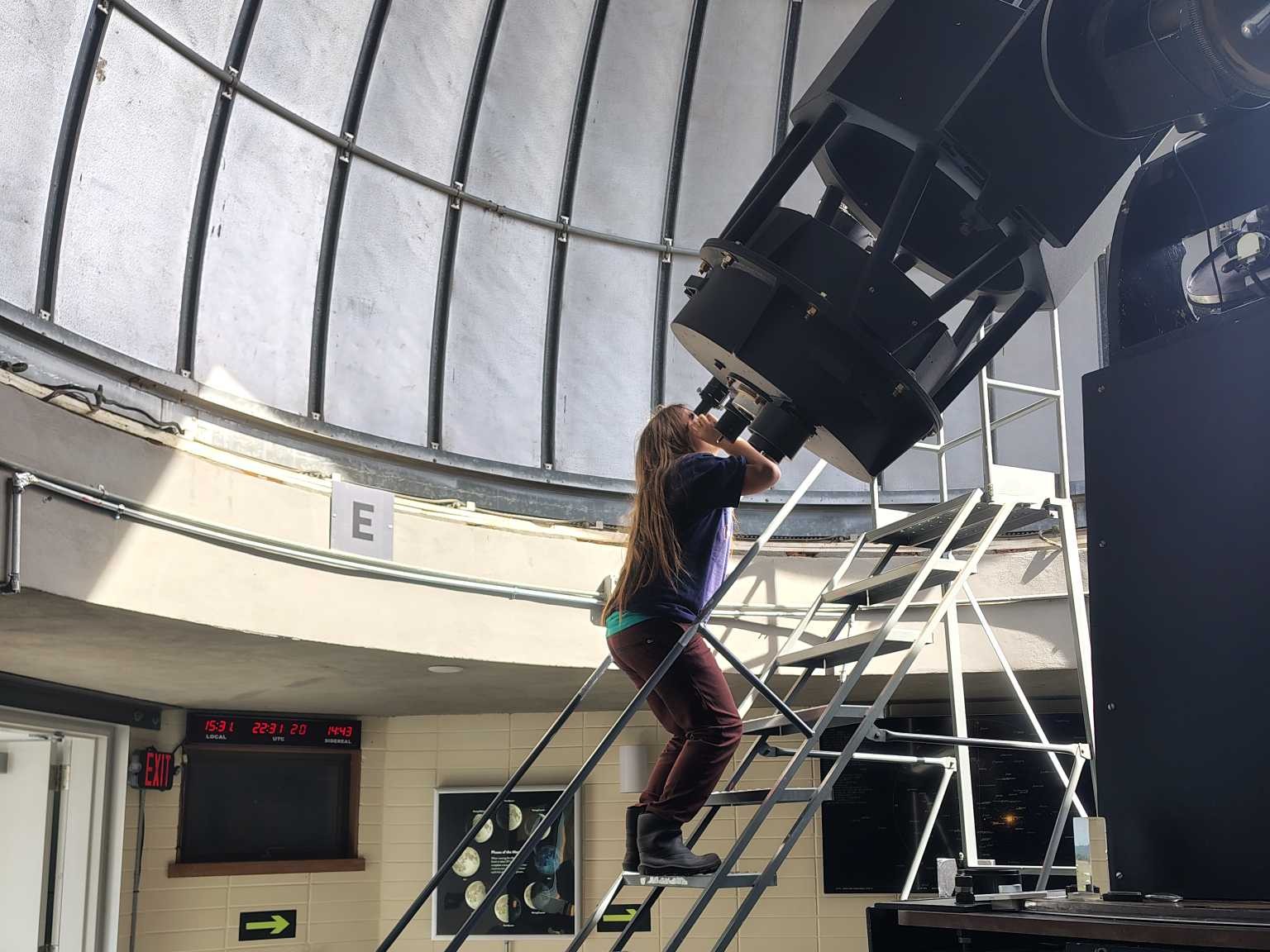
Check the observatory hours in advance to see when the telescope can be used by the public. Photo by trip reporter Jenchilada.
The observatory at Goldendale offers a fantastic place to get breathtaking views of the night sky. And the observatory is only a 20-minute drive along Highway 97 to Brooks Memorial State Park, which is both a great place to spend the day before heading to the observatory for some stargazing and a possible place to spend the night if you want to avoid driving too far after you're done with the stars. The campground has 45 campsites — just be sure to make a reservation to snag your spot!
The observatory is a popular location during celestial events, so be prepared to share the space with other star-lovers. All visitors to Goldendale now need to make a reservation on the state park website before arriving.

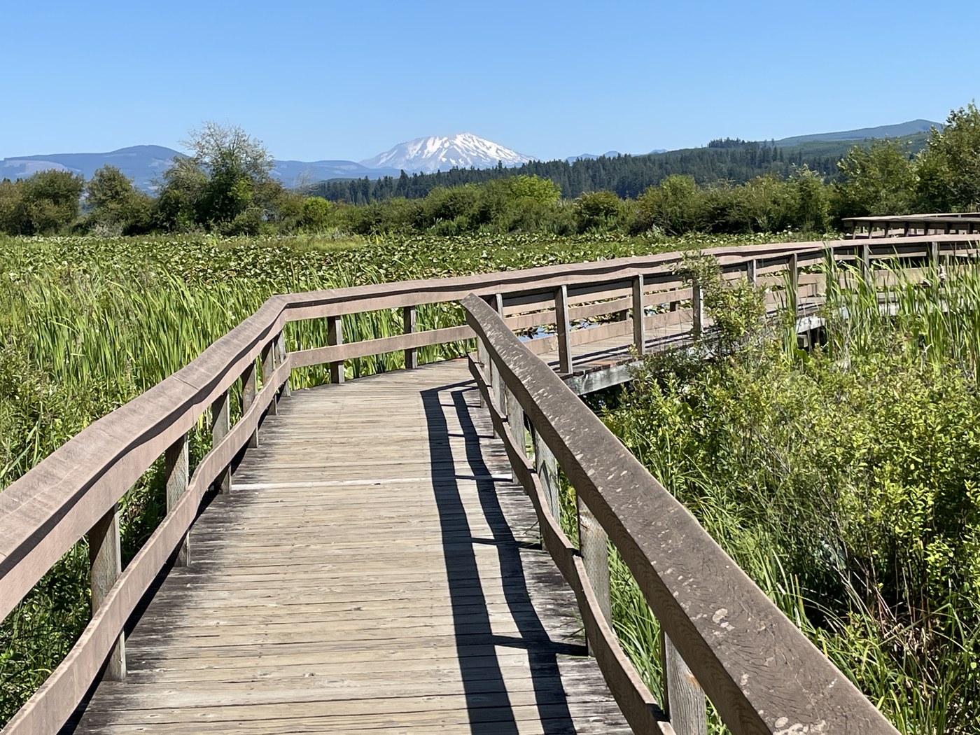
The boardwalk over Silver Lake at Seaquest State Park is a great place to stargaze. Photo by trip reporter Shutterbug Fotos.
The boardwalk of the Silver Lake trail at Seaquest State Park is flat with high guardrails, so it's ADA-accessible and perfect for kids. You'll zigzag out over the shallow waters of Silver Lake, and on clear, calm nights, you might even be able to see reflections of zooming comets in the still water around you. As with most state parks, Seaquest does close after dusk, but for those who don't want to reserve a campsite, it's possible to get a great view of the night sky by pulling off of highway 504 in a safe turnout and looking up.
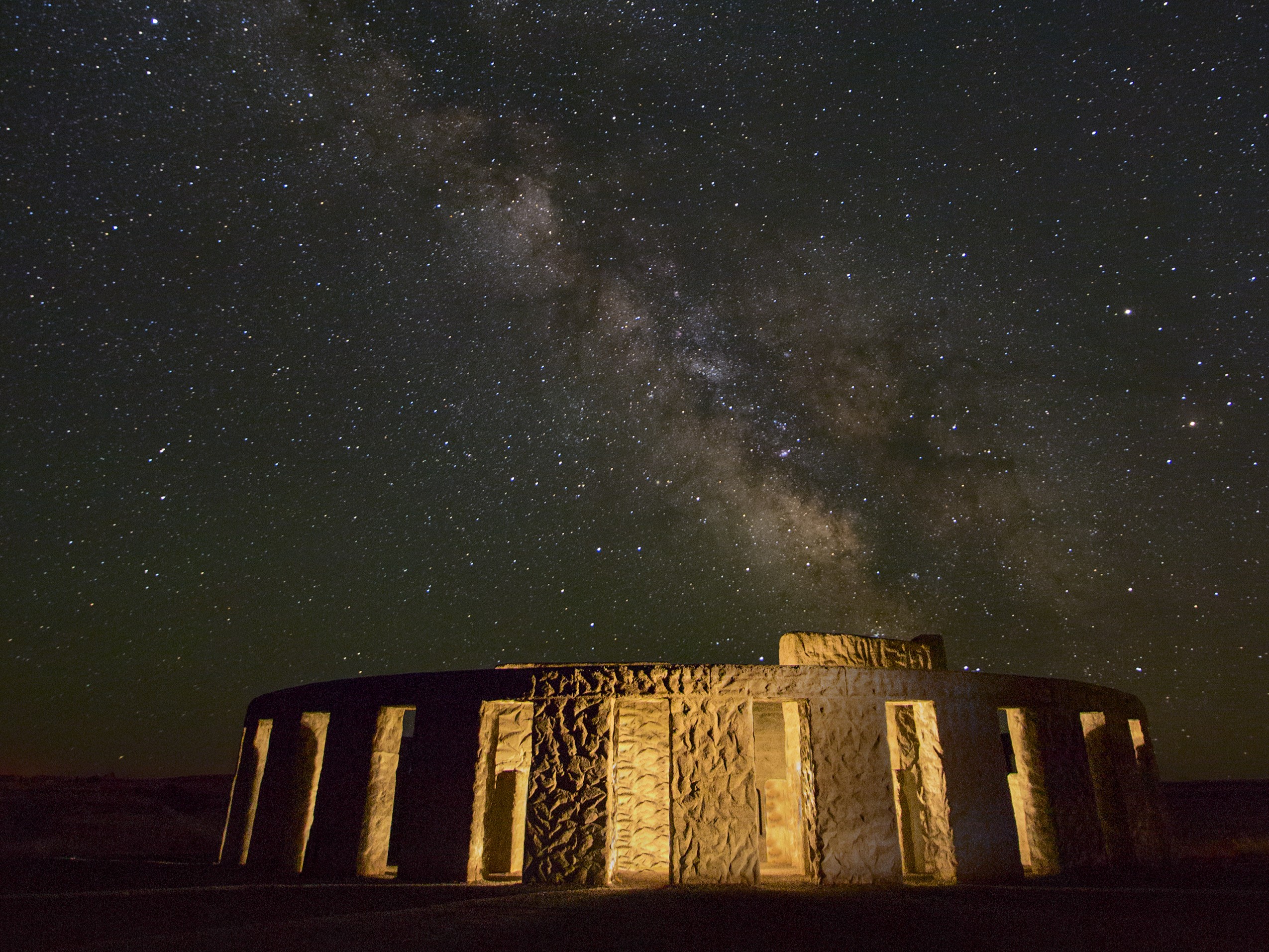
The Stonehenge Memorial at Maryhill; one can see just how clear a view of the sky is from here. Photo by Juan Aguilera.
Maryhill State Park is largely a camping area and boat launch, but it also has great open skies for stargazing. Near The Dalles and just 25 minutes from Goldendale Observatory, it's a great spot to take in the night sky.
If you can't secure a campsite, head up the hill to Maryhill Art Museum on the bluff. While it won't be open at night, it offers a nice view across the river, and even more expansive skies.
Olympic Peninsula


If catching the sunset at Third Beach, hikers will want to bring headlamps to navigate. Photo by trip reporter K & C.
Meteor showers on the Olympic Peninsula are an otherworldly spectacle. Plus, the hike in is minimal — the beach is about 100 feet from where you park your car, and the west coast of the Olympic Peninsula is a great spot to avoid light pollution. The ocean can be unpredictable at any hour of the day or night, so grab a tide table before heading out, keep little ones close at hand, and be aware of waves and crashing surf.
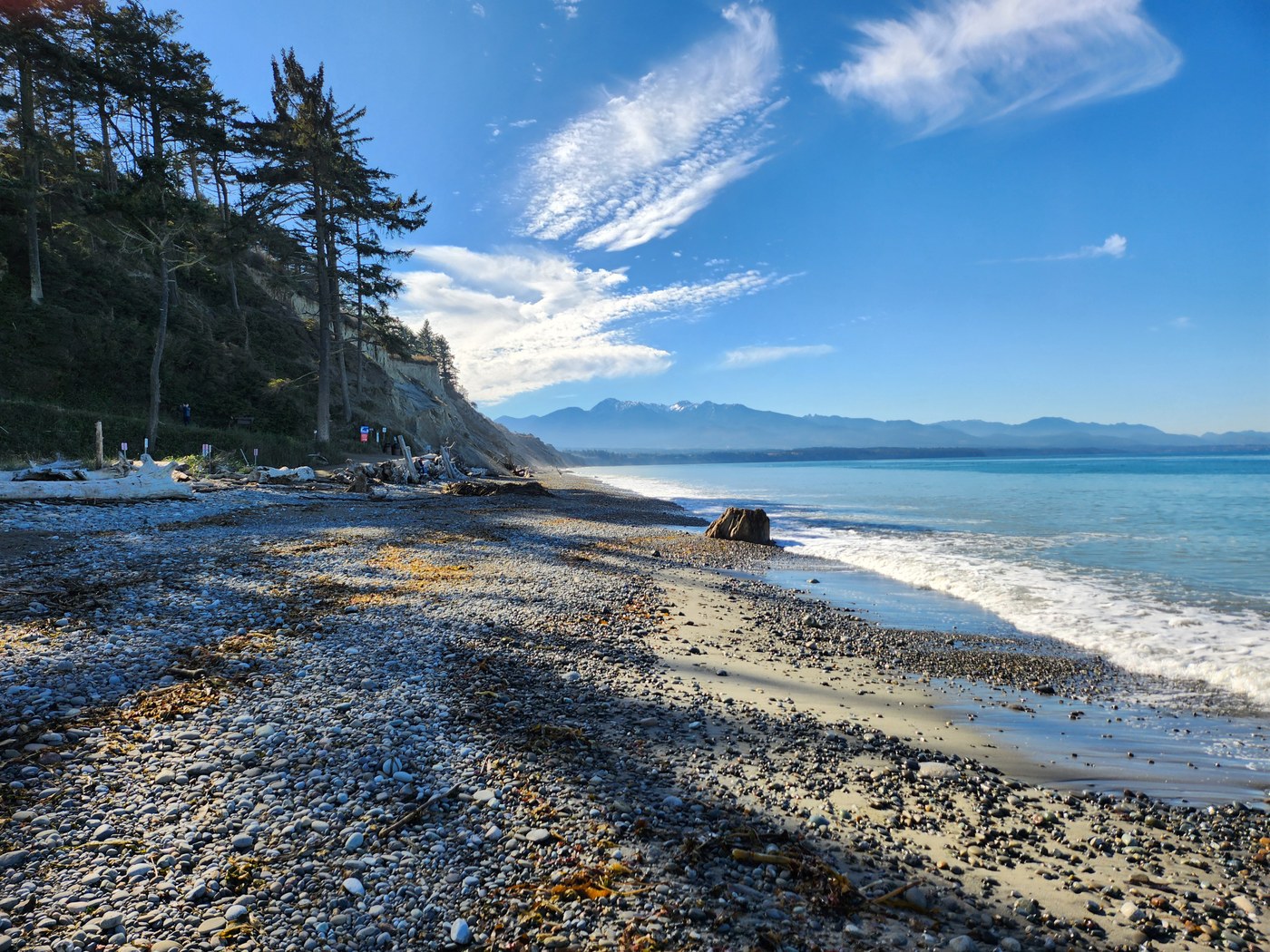
The rocky beach at Dungeness Recreation area. Photo by trip reporter Strider.
Situated on the bluff above the Strait of Juan de Fuca, this area boasts 67 campsites in addition to the scenic, mile-long bluff trail and excellent birdwatching. This park is managed by Clallam County Parks. There is no fee for day use, but you must reserve and pay to stay in a campground overnight. Amenities include hiker/biker sites, ADA-accessible restrooms and showers.
Northwest Washington

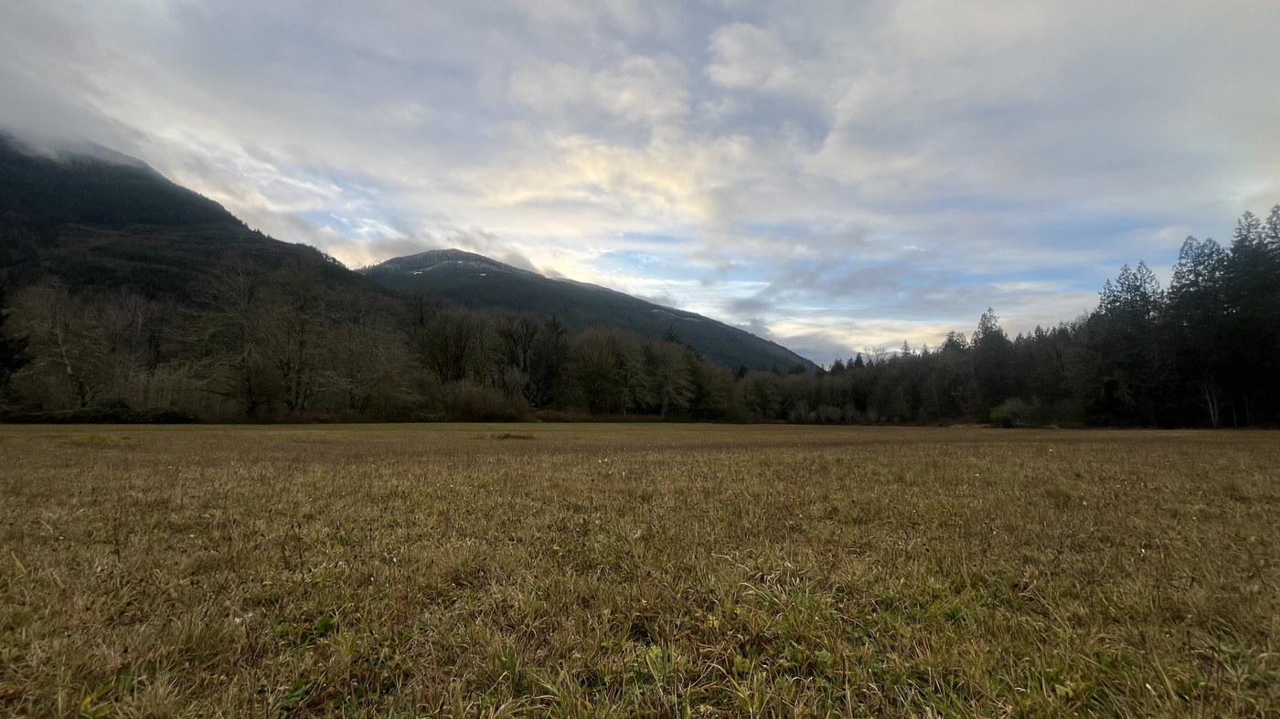 Rasar State Park's large field is a great place where the trees won't block the view. Photo by trip reporter earthisawakening.
Rasar State Park has many miles of trails to explore (including a one-mile wheelchair-friendly trail), a campground, and river access. While the campground has a fair amount of tree cover, you can still spot quite a few stars, even if you've got a little light pollution at your site.
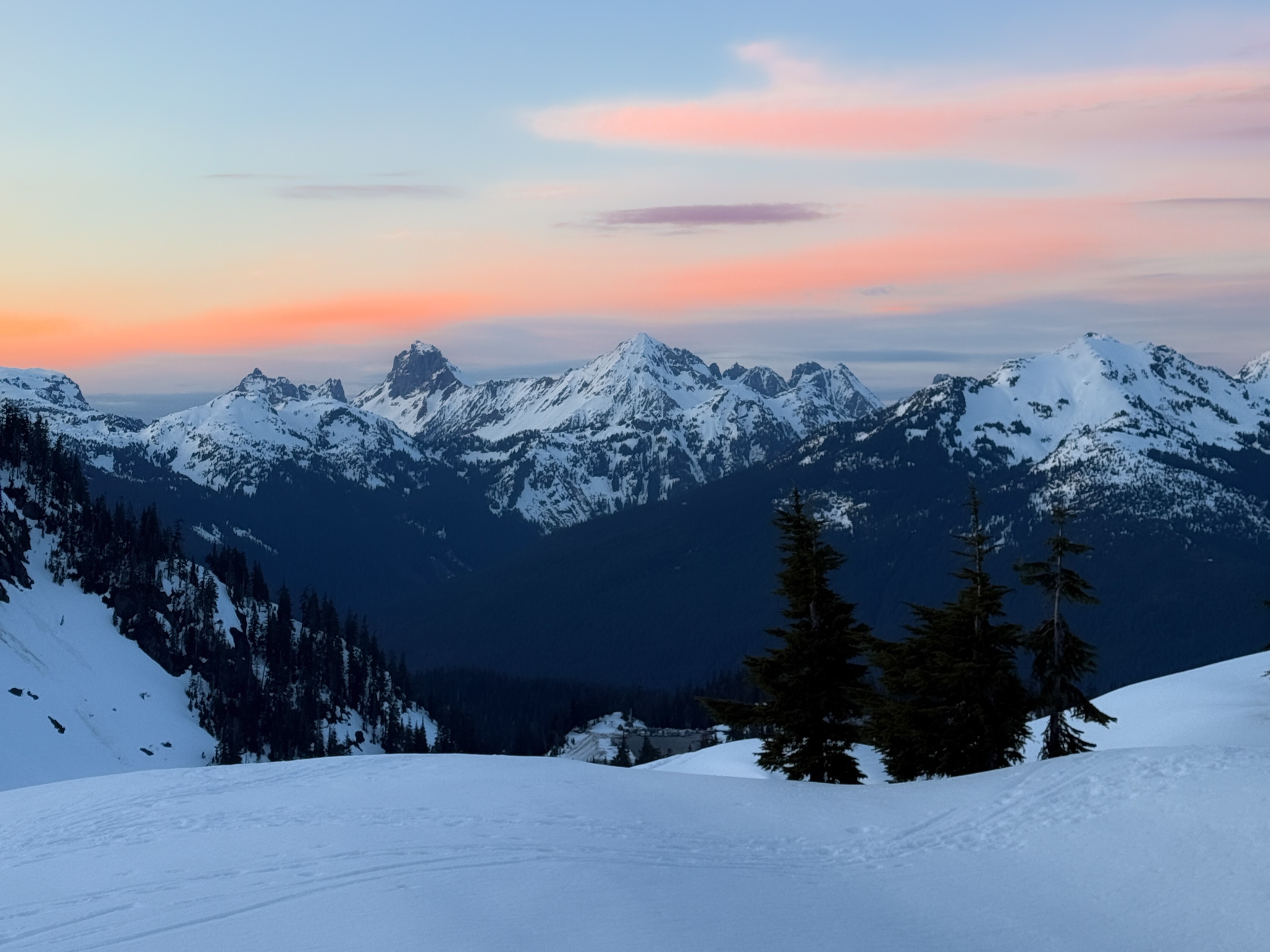
Beautiful sunset colors at dusk. Photo by trip reporter wildman_walther.
On summer days, Artist Point can fill up with hikers trying to make the most of summer in this alpine location. Evenings can be crowded too — the expansive skies and gorgeous views aren't exactly a secret — but with a vista like this, how could anyone resist? Because snow sticks around here for so long, it's possible that the summer trail won't be open for some early-season meteor showers. Be prepared if you plan to take the winter route, or better yet, hang out in the parking lot and make friends with your fellow celestial observers.
Samish Overlook (or make the hike to Oyster Dome)
-
Length
- 5.0 miles, roundtrip
-
Elevation Gain
- 1,050 feet
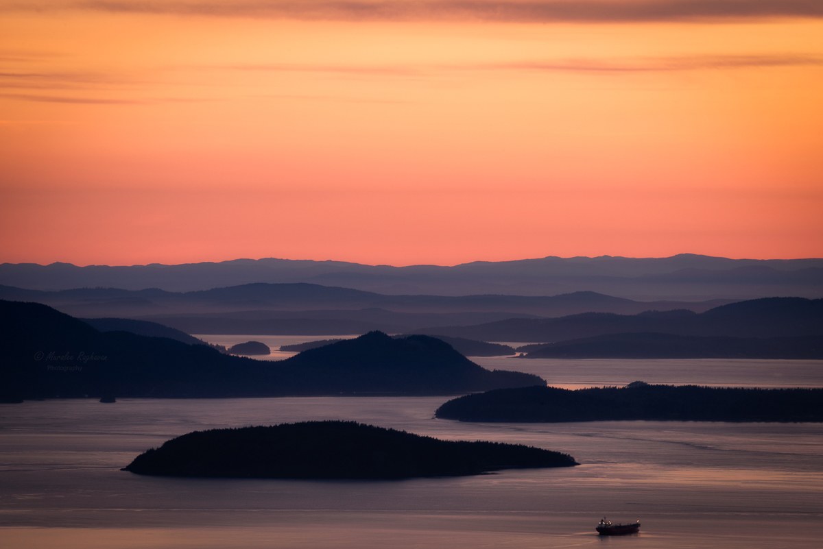
Incredible sunset colors over Samish Bay. Photo by trip reporter Muralee Raghavan.
You can't camp at Oyster Dome, but luckily, Samish Overlook offers views nearly as good as those from Oyster Dome itself. Go, snap some pics, and be back in time for bed. The trail to Oyster Dome has been improved recently, but it's steep, and there are lots of junctions with other trails. If you do decide to hike, go with a headlamp or a flashlight (one per person in your party) and take your time. Consult a map when you come to junctions to be sure you're on the right trail.
Eastern Washington

Folsom Farm doesn't have much in the way of trails, but it's a great place for sunset colors. Photo by trip reporter TrailKat.
Near Fishtrap Lake is Folsom Farm, a short access road leading to trails on shrub grassland. It's great during the day for wildlife and birdwatching, and perfect for watching the sunset as evening falls.
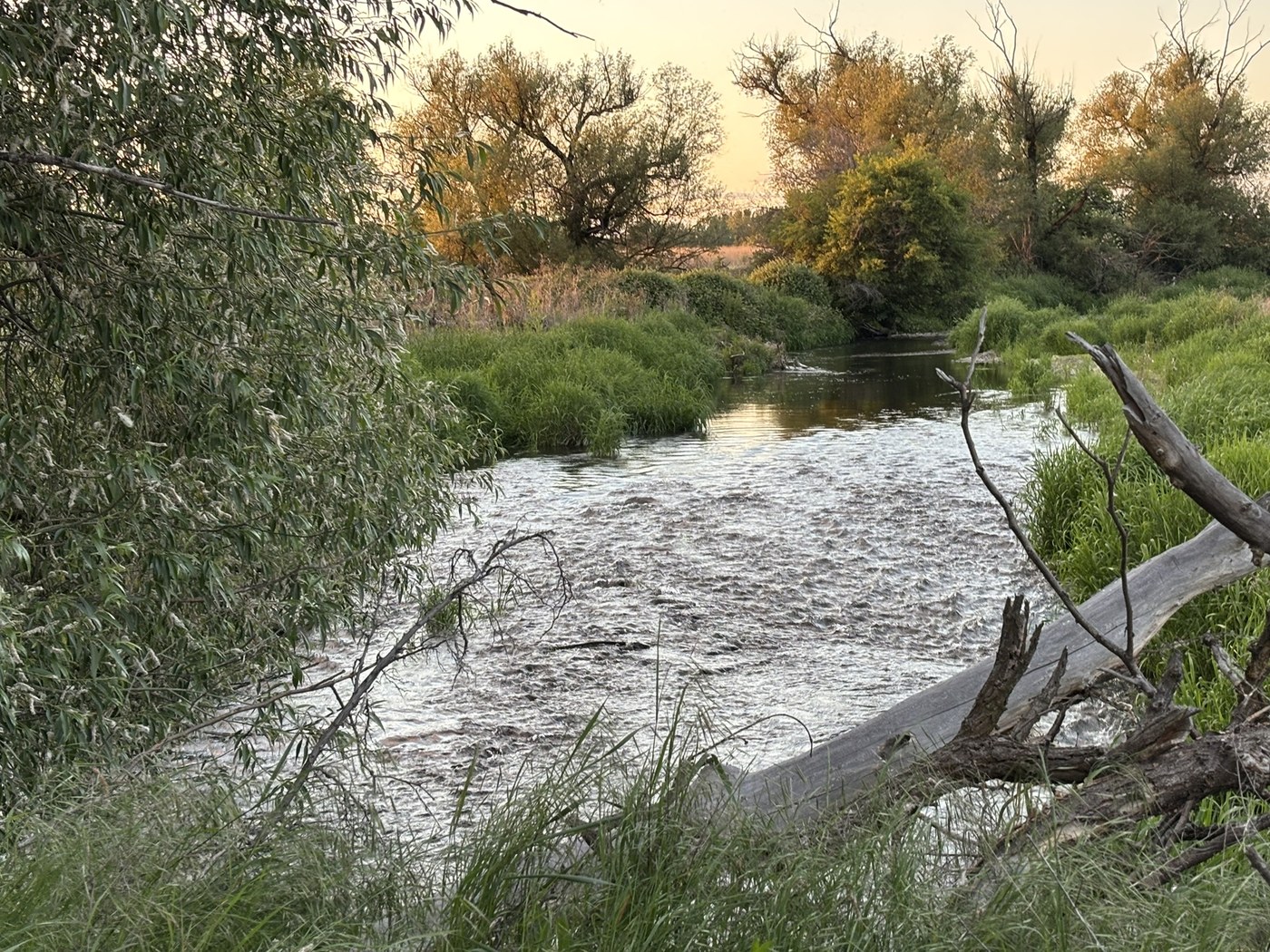
Sunset colors reflect off the water in the evening at the historic site. Photo by GreenGrrl.
This historic site, near Walla Walla, offers much to the visitor during the day: a visitor center museum and ranger-led walk included. But if you come later in the evening, you can still enjoy the self-guided audio tour, the information boards and catch some of the lovely sunset colors (the trails close at sunset).
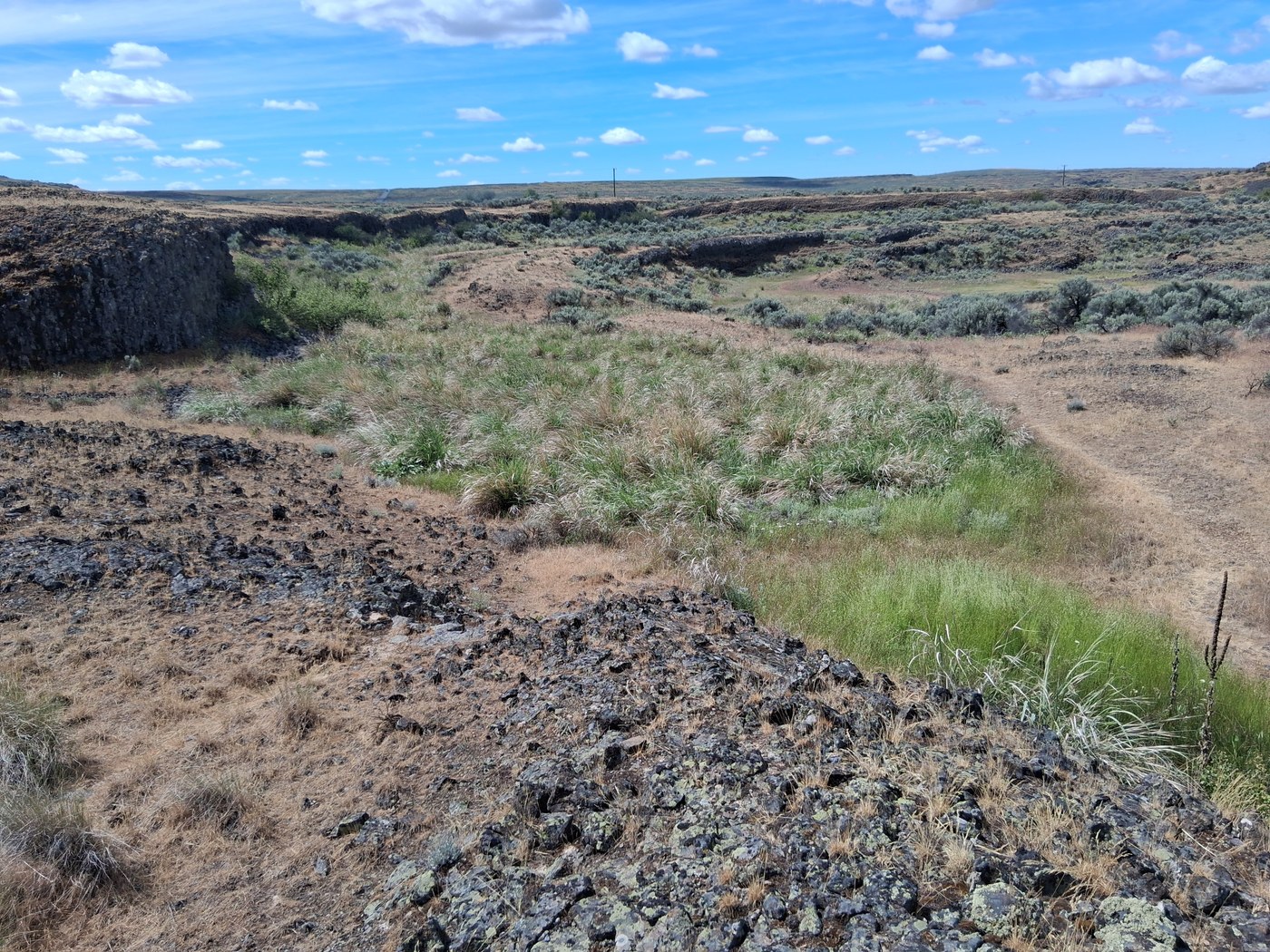
Odessa Crater on a spring day. Photo by trip reporter Jukebox Jim.
Relics from the Missoula Floods, Odessa Craters is a wonderful short jaunt from Davenport (though a bit more of a drive from Spokane). Visitors don't even need to walk any of the trail to enjoy the stars here; just step out of your vehicle and look up. Do try to use a bathroom before you get here, though — there isn't one at the trailhead.
Palouse Falls


All trails into the canyon and base of Palouse Falls are permanently closed.
-
Length
- 1.0 miles, roundtrip
-
Elevation Gain
- 0 feet
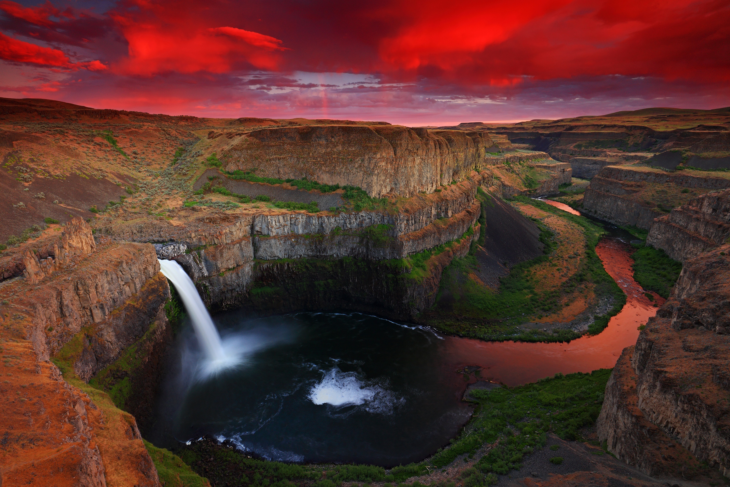
Palouse Falls as evening begins to fall, during a storm. Photo by Randall Hodges.
Washington's state waterfall makes a majestic destination for night photography. However, please note that any access to the foot of the waterfall has been officially closed by the park and overnight camping is no longer allowed (the park is open every day until dusk), so evening and golden hour are the times to visit this beautiful spot.
- Check out more locations: Didn't see a spot that works for you listed above? See what our Facebook community had to say about where they go to lie beneath the stars (Note: This thread is from 2013, so verify overnight rules have not changed for these locations before heading there), or search our Hiking Guide for something near you.