Rasar State Park, along the Wild and Scenic Skagit River, presents a variety of trails for exploring the park’s second-growth forest, native wildlife and pioneer history.
To experience the best the park has to offer, link the Skagit Woods Trail, the Skagit River Trail and the Field Trail for a looping, three mile nature walk. The Skagit Woods Trail takes hikers from the main campground, through second-growth forest, to the rocky, sandy shore of the river. The shoreline along the River Trail affords prime bird-watching opportunities. Next, traverse a grassy meadow on the Field Trail, where deer are frequently spotted grazing.
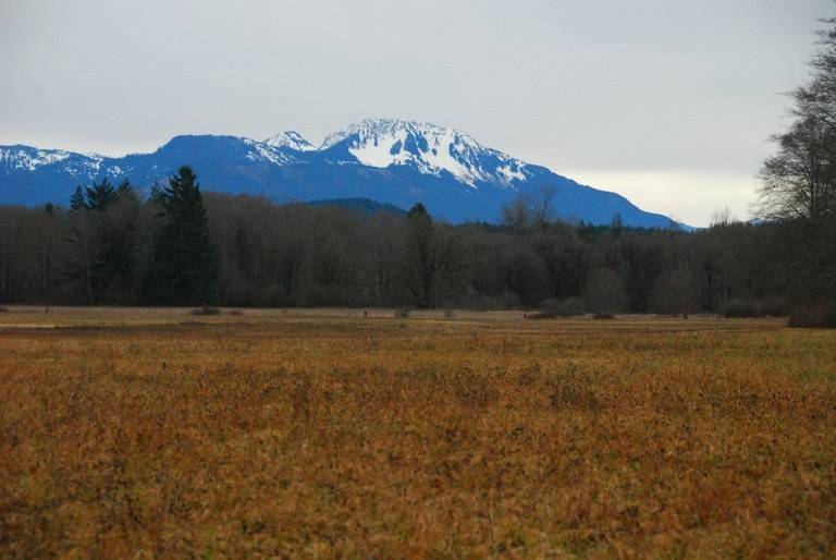
Views of Sauk Mountain are possible on clear days from the Field Trail, a mowed path which returns you to the impeccably groomed, large campground. Many small trails branch off the two main routes for exploring, making this a great campsite for kids and families.
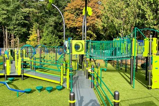
The campsite includes a great play area and a large covered picnic area with kitchen. There are Junior Ranger programs offered on the weekends. This is a very nice park for all ages. The campsites are large and the area is very well maintained.
Rasar State Park

-
 Length
- 3.0 miles, roundtrip
-
 Elevation Gain
- 20 feet
-
 Highest Point
- 125 feet
Parking Pass/Entry Fee
Discover Pass
Explore a beautiful state park near the Skagit River with an extensive trail network and beautiful campsites.
Continue reading
Hiking Rasar State Park
Rasar State Park
Map & Directions
 Trailhead
Before You Go
Parking Pass/Entry Fee
Discover PassWTA Pro Tip: Save a copy of our directions before you leave! App-based driving directions aren't always accurate and data connections may be unreliable as you drive to the trailhead.