Face Your Fears: 13 Fun Washington Hikes for 13 Phobias
Looking to get spooked this season? Whether it's claustrophobia, arachnophobia, acrophobia or another terror, we've got a Washington hike for you to face your fears head on — if you dare.
Claustrophobia: The fear of small, enclosed spaces
Lenore Lake Caves
Location: Moses Lake area
Length: 1.5 miles, roundtrip
Elevation gain: 200 feet
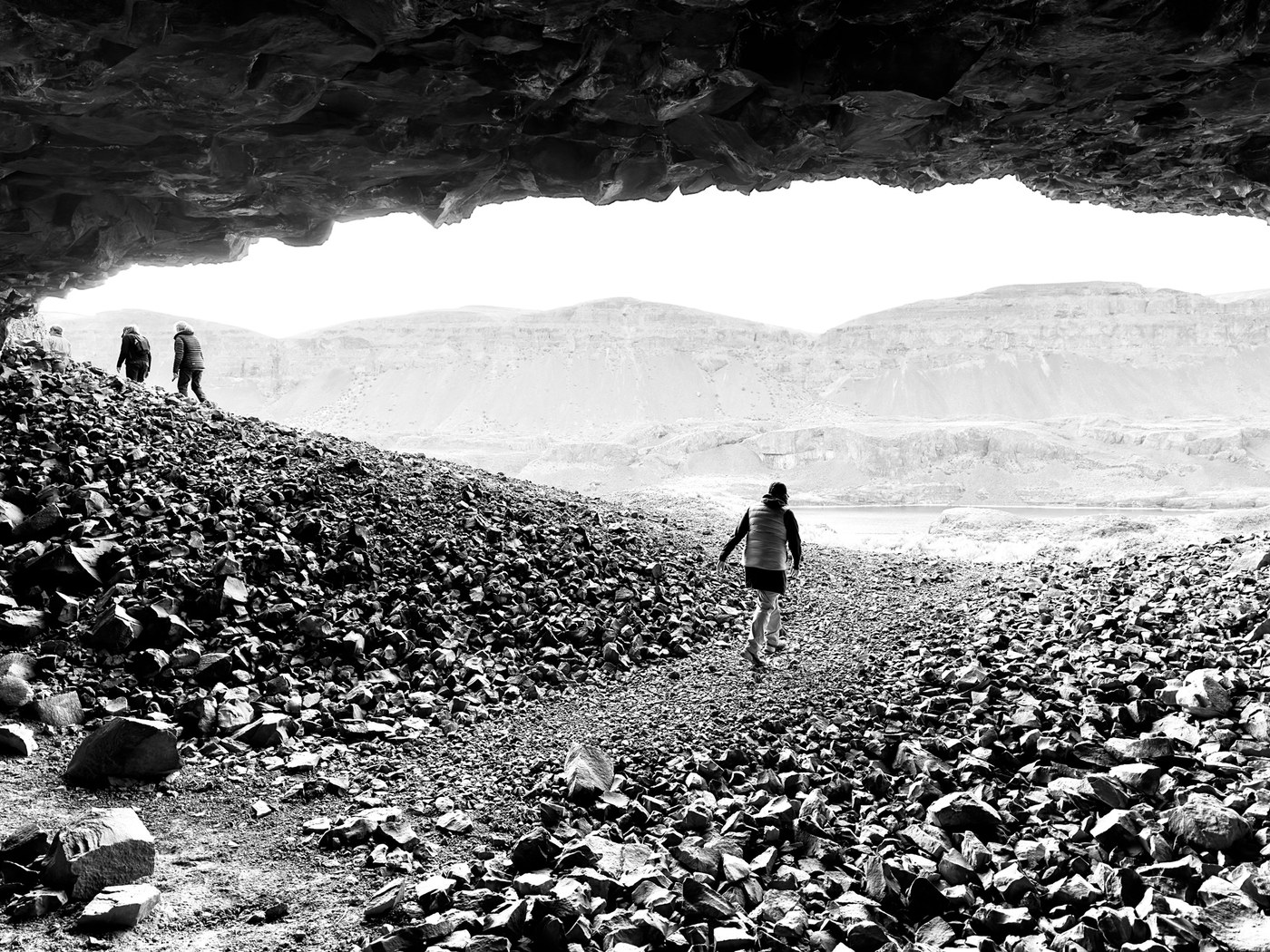
"Wait for me!" Photo by The path before you.
These caves aren’t very deep and the opening is pretty wide — you likely won’t need a headlamp — but they may still give the claustrophobic part of you a twinge. It’s easy to spend an afternoon exploring the area around here; both the caves themselves and the area around have much to see, including lots of wildlife.
> Plan your hike at the Lenore Lake Caves using WTA's Hiking Guide
Mycophobia: The fear of fungus and mold
Deception Creek
Location: Skykomish
Length: 11 miles, roundtrip
Elevation gain: 1,200 feet

A frighteningly burly bolete! Photo by Birb.
If mushrooms and mold make you squeamish, Deception Creek might not be for you. On the other hand, if foraging is your jam, head to this trail, where mushrooms dot the area. Note that there are blowdowns that may prevent you from hiking the whole trail, but the trail you are able to hike will give you plenty of space to forage (or be frightened).
> Plan your hike to Deception Creek using WTA's Hiking Guide
Ornithophobia: The fear of birds
Saltese Flats Wetland
Location: Spokane area
Length: 4.5 miles of trails
Elevation gain: varies

"I think we're in real trouble." Photo by Nic E.
The Saltese Flats Wetland is probably not the place for you if you've watched "The Birds" recently. You’ll find birds galore here, as it’s an important habitat for all sorts of waterfowl, shorebirds, raptors and songbirds, as well as other animals. Expect to run into many a birdwatcher here! And if you decide to brave the trail, don’t forget your binoculars and follow these tips for protecting wildlife as you hike.
> Plan your hike at the Saltese Flats Wetland using WTA's Hiking Guide
Gamophobia: The fear of commitment
Olympic Discovery Trail
Location: Olympic Northern Coast
Length: 135 miles
Elevation gain: 4,300 feet from Port Townsend to La Push
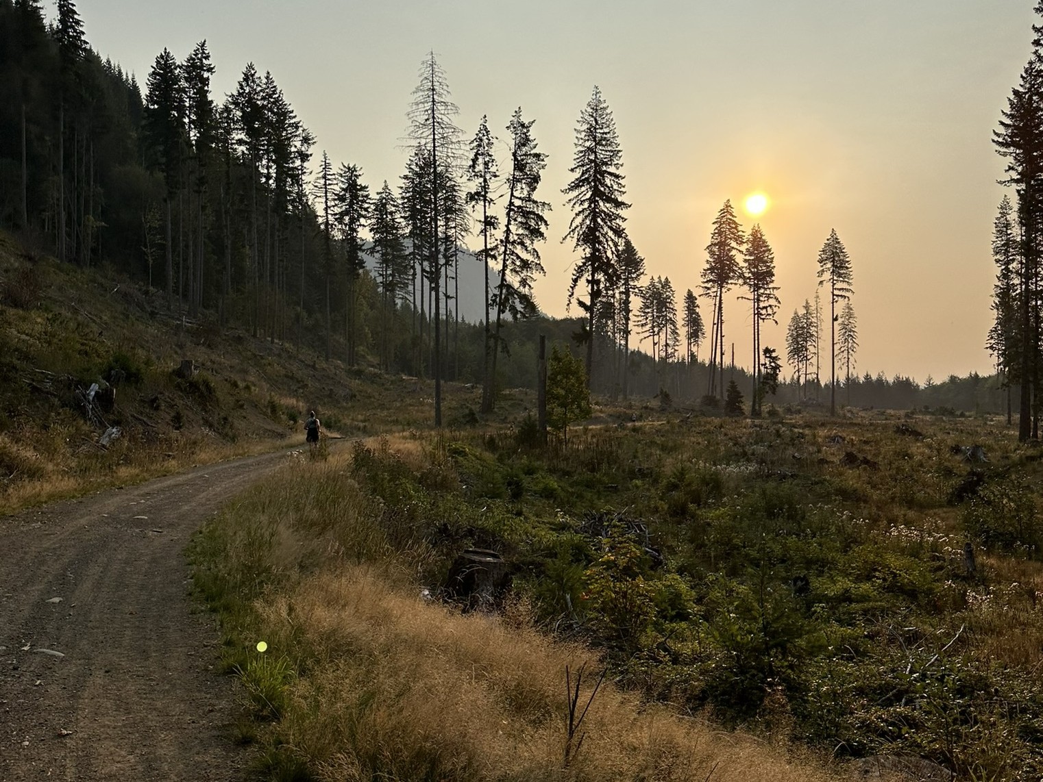
This beautiful long trail just might convince you to commit. Photo by chansen_hike.
We know — commitment can be scary. And the whole Olympic Discovery Trail is a beast — 135 miles one-way across the northern half of the Olympic Peninsula, from Port Townsend to La Push. If you take on the whole trail, you’ll travel on paved, gravel and dirt trail, and you’ll get to go through the forest, along Puget Sound and Lake Crescent, past Port Angeles and more. Of course, if you’d like to forgo commitment and just take on a segment of the trail, there are plenty of great options for shorter day hikes.
> Plan your hike on the Olympic Discovery Trail using WTA's Hiking Guide
Nyctophobia: The fear of the dark
Kalaloch Creek Nature Trail
Location: Olympic Pacific Coast
Length: 0.8 mile, roundtrip
Elevation gain: 20 feet

The forest floor is shrouded in darkness from the forest canopy. Photo by ejain.
Experience the darkness of Washington's magnificent old-growth forests along this short trail across the highway from the Kalaloch Campground. The small loop sits under a thick canopy of foliage, which is both incredibly spectacular and perhaps a little suffocating if you're afraid of the dark. (And if the dark is something that does freak you out, we've got some options for lighting when you're out and about outside.)
> Plan your hike on the Kalaloch Nature Creek Trail using WTA's Hiking Guide
Thalassophobia: The fear of large bodies of water
Cape Disappointment State Park - Cape Disappointment Lighthouse
Location: Long Beach
Length: 2.4 miles, roundtrip
Elevation gain: 500 feet
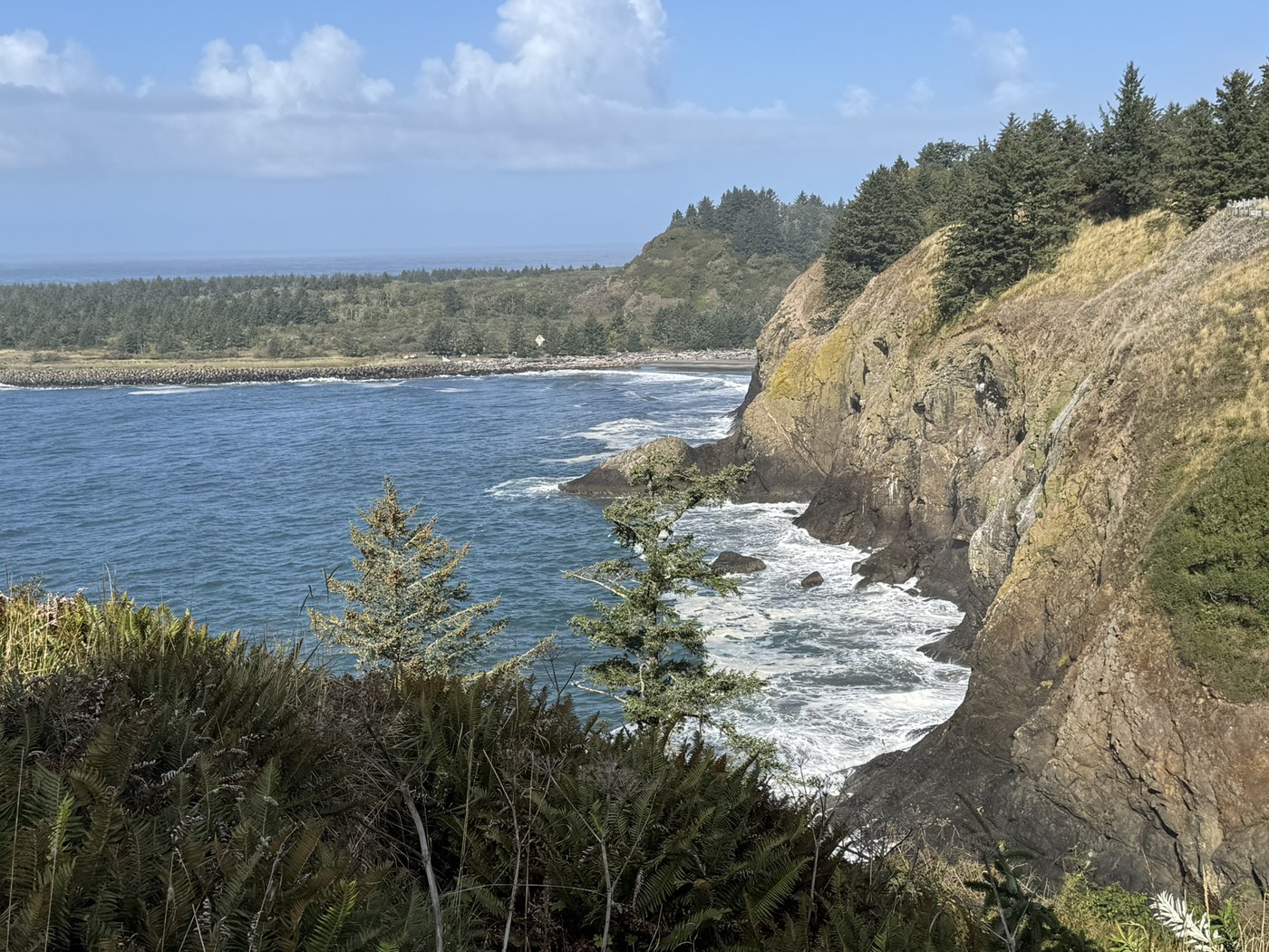
Those waves look pretty menacing. Photo by therealmchoy.
There aren't bigger bodies of water than the expanse of the Pacific Ocean, and you can get right up to it at Cape Disappointment State Park. Take in views of the ocean from the bluffs at the park, or — if you're interested in doing some scrambling on steep terrain — at sea level at Deadman's Cove.
Acrophobia: The fear of heights
Palouse to Cascades Trail - Homestead Valley Trailhead to Mine Creek Trestle
Location: North Bend
Length: 5.5 miles, roundtrip
Elevation gain: 350 feet
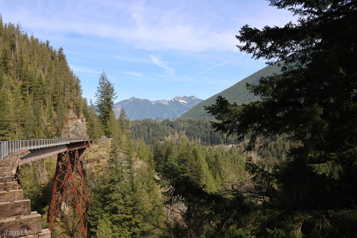
Don't look down! Photo by SnowHiker.
Afraid of heights? This short segment of the Palouse to Cascades Trail will definitely get your heart pumping! You’ll cross three trestle bridges that loom high above Change Creek, Hall/Hull Creek (maps and the sign on the bridge disagree on the name of this one) and Mine Creek. Luckily, the bridges — and trail itself — are quite wide, so if heights make you nervous, walking in the center of the bridge should keep you from being able to look all the way down.
Bathmophobia: The fear of stairs and steep slopes
Cable Line Trail
Location: Issaquah
Length: 3 miles, roundtrip
Elevation gain: 2,022 feet
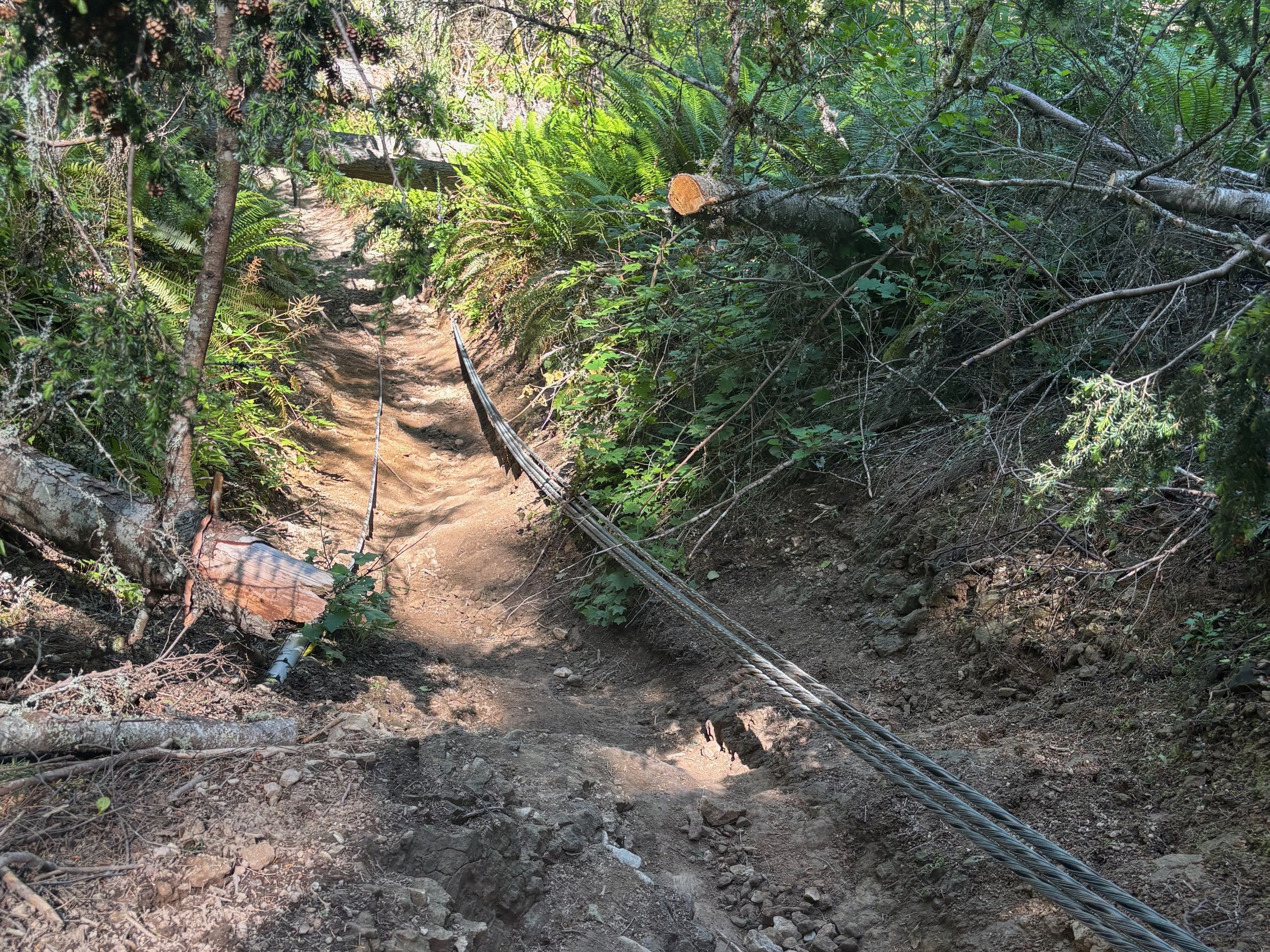
Honestly, even if you don't have bathmophobia, this is pretty terrifying. Photo by kassii.
If steep slopes give you anxiety, this trail might send you down a spiral. The Cable Line Trail is often used by folks to train for much larger hikes or climbs, and it's no wonder why — climbing 2,000 feet in 1.5 miles is no joke, but it is the fastest way to the incredible views of Seattle, Bellevue, Olympic Range and more from West Tiger 3's summit.
> Plan your hike on the Cable Line Trail using WTA's Hiking Guide
Phasmophobia: The fear of ghosts
Franklin Ghost Town
Location: Maple Valley / Enumclaw area
Length: 2.5 miles, roundtrip
Elevation gain: 200 feet
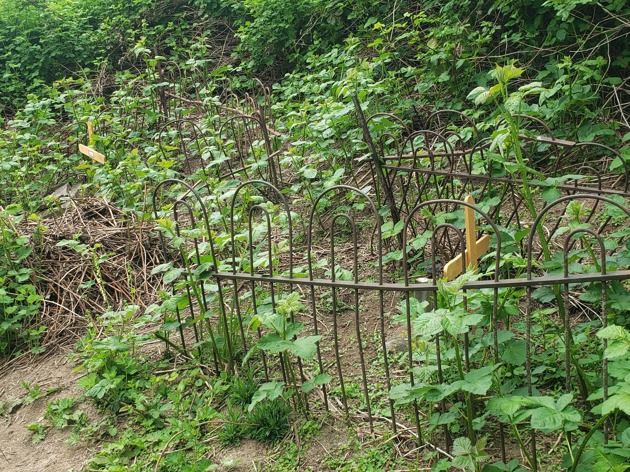
The cemetery is still reachable, though much overgrown. Photo by Day Trekker.
It doesn’t get much spookier than visiting a ghost town. Washington has several of them, and a hike through Franklin Ghost Town takes you through the history of one of the state’s worst mine disasters. Remnants remain from a fire that took the lives of 37 miners, and today, you can still visit the abandoned town’s mineshaft, powerhouse foundation and cemetery.
> Plan your hike at Franklin Ghost Town using WTA's Hiking Guide
Trypophobia: The fear of clustered patterns of holes
Boulder River
Location: Darrington area / Mountain Loop Highway
Length: 8.6 miles, roundtip
Elevation gain: 700 feet

Buckle your seat belt. Photo by ajv0411.
Do pumice stones and honeycombs make you queasy? There's a chance the road to the Boulder River trailhead may also. (It also might do that if you get carsick.) Drive a high-clearance vehicle, or very carefully and slowly in a lower-clearance vehicle, to make it to the trailhead of this lovely river ramble that's great for the whole family all year-round.
> Plan your hike along the Boulder River trail using WTA's Hiking Guide
Aviophobia: The fear of flying
Arlington Airport Trail
Location: Arlington area
Length: 6 miles, roundtrip
Elevation gain: 0 feet
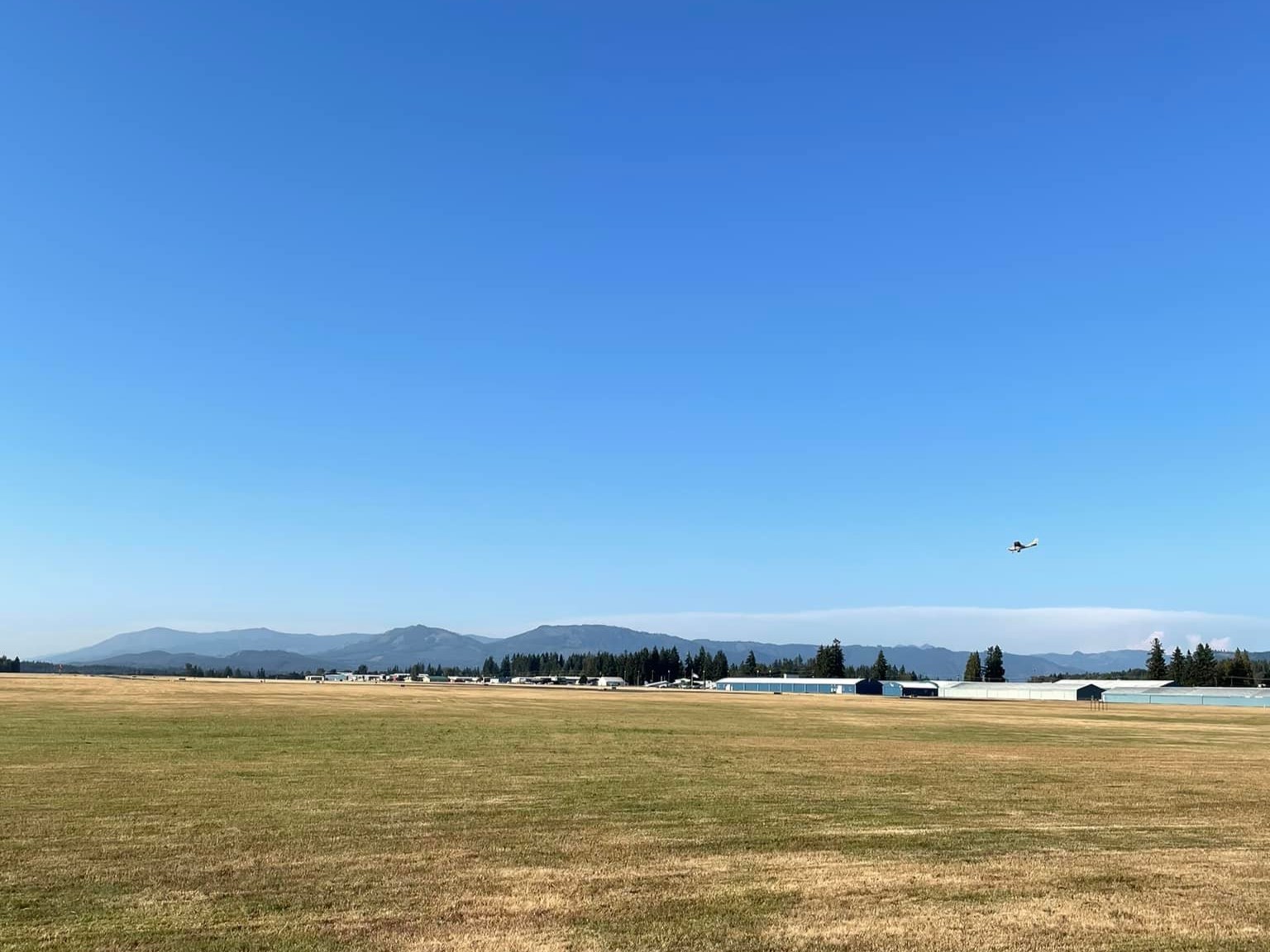
Luckily, you won't actually be flying on this hike. Photo by Megan Joann Rice.
You won’t actually have to fly on this hike (phew!), but you will get right up close to planes. This partly-paved, partly-gravel trail circumnavigates the Arlington Airport and makes for a great urban hike year-round. (If you are interested in getting even closer to the planes, the airport has historically held summer events that allow folks to!)
> Plan your hike on the Arlington Airport Trail using WTA's Hiking Guide
Ophidiophobia: The fear of snakes
Columbia Plateau Trail - Snake River
Location: Tri-Cities area
Length: 6 miles, roundtrip
Elevation gain: 150 feet
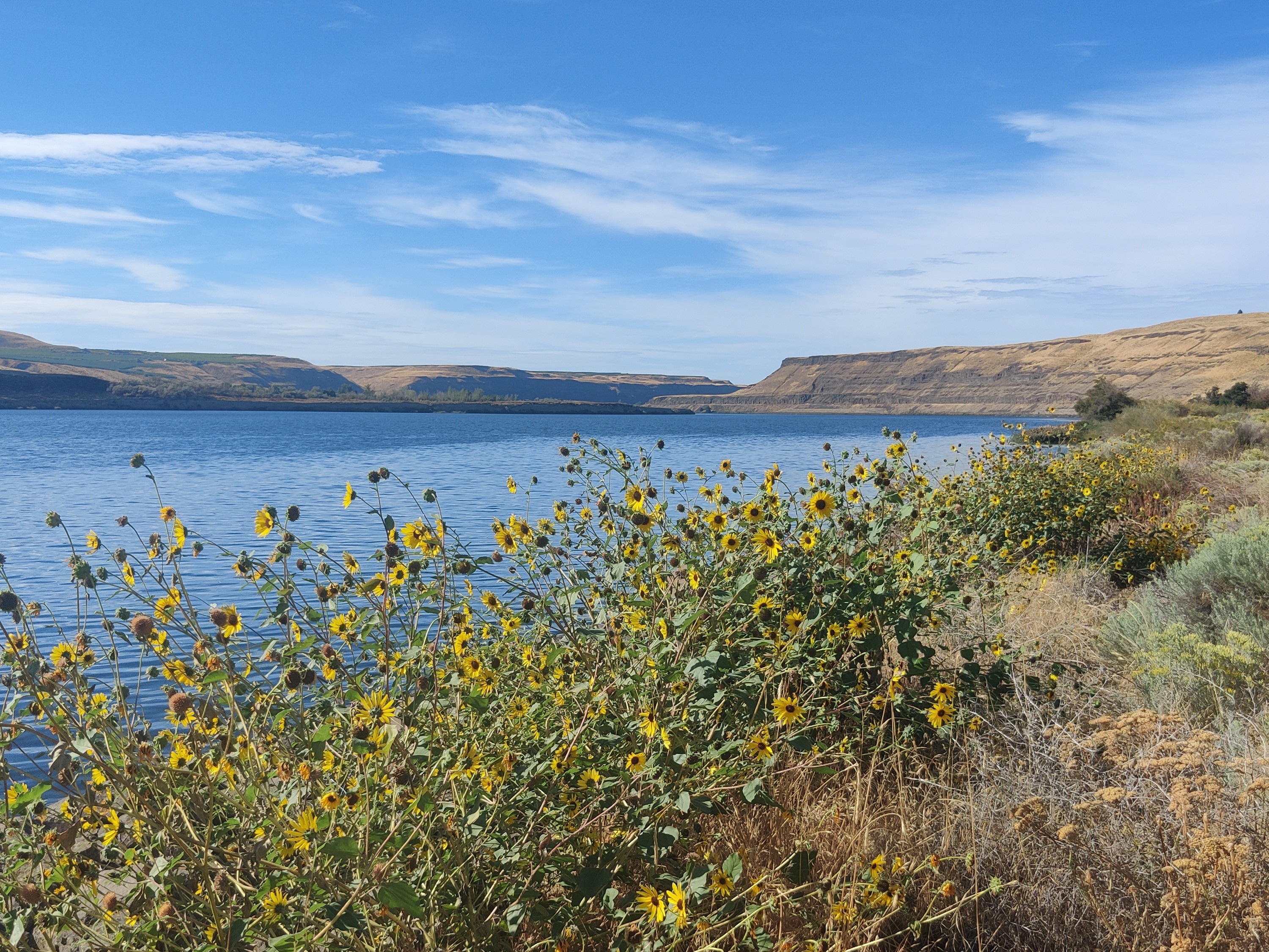
"Snakes... Why did it have to be snakes?" Photo by Connoquenessing.
This segment of the Columbia Plateau Trail parallels the Snake River, which, thankfully, doesn't have any swimming snakes in it (although it can make for a nice fishing or birdwatching spot if you're so inclined). However, if you are afraid of snakes, the cooler seasons are a good time for this hike, as rattlesnakes are known to be in the area — so be careful!
> Plan your hike on the Columbia Plateau Trail - Snake River using WTA's Hiking Guide
Arachnophobia: The fear of spiders
Any hike — as long as you're early enough
Location: varies
Length: varies
Elevation gain: varies
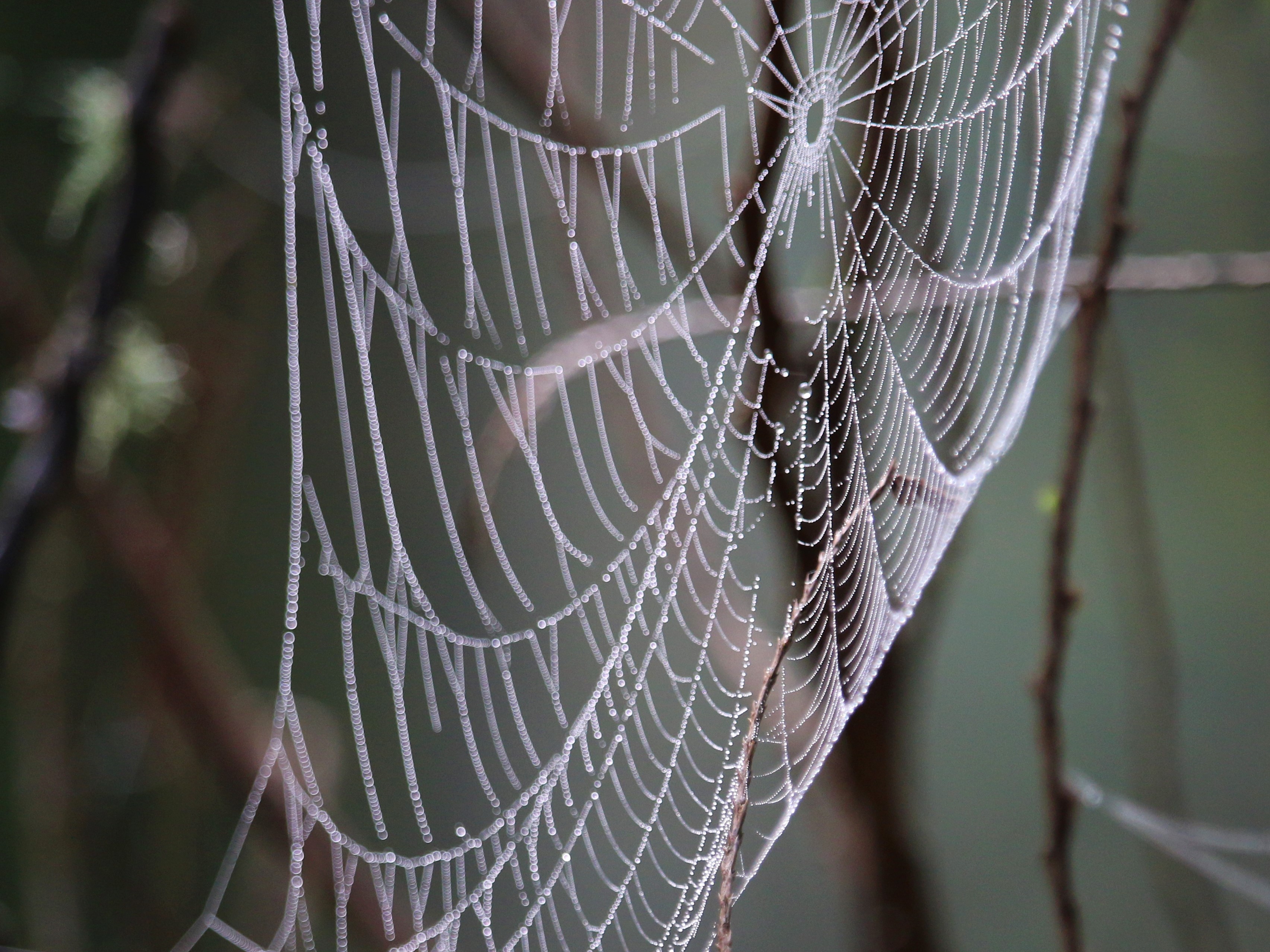
A face full of cobwebs awaits you when you're the first to hit the trail. Photo by wafflesnfalafel.
If spiders give you the shivers and you’re looking to face that fear (literally), look no further than most forested hikes in Washington! Just do the following:
- Get to the trailhead before everyone else.
- Don’t wear glasses or a hat.
As a bonus, every hiker behind you for the rest of the day will thank you.

