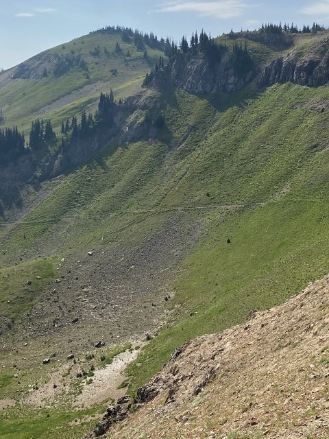
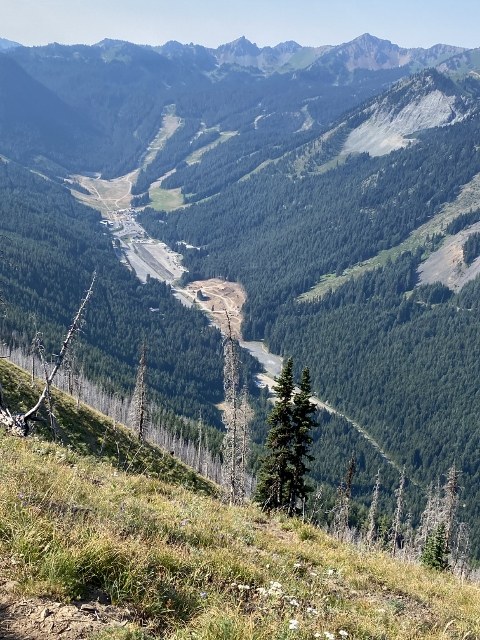
I hiked a loop, beginning at the Norse Peak parking on the Crystal Mtn road, then using the PCT, the Bullion Basin trail and the Gold Hills Road to return to the car.
The hike up to the Norse Peak summit was pretty much as described in the August 6 report. I started early (7:40), so I saw only a handful of people on the ascent, including one party of horsemen. Views into the valley and across to Mt. Rainier were excellent, but there was considerable haze to the east and the south from the summit -- some of it probably caused by wildfire smoke.
After snacking at the summit, I retraced my steps to the rim of the basin and took the trail which angles down through the basin and connects with the Pacific Crest Trail. En route to the rim I met another horse party and was told of a more direct route to the PCT over the back of the peak, which I wish I had taken. The first part of the descent into the basin was on a very narrow, steep, badly tilting trail composed of loose rock and powdery dust which was a bit of a trial. This connector trail, however, was fairly short at under a half mile.
Once on the PCT I turned right and proceeded about 2 1/2 miles. The trail is mostly open to the sun, which could be a problem on a hot day. It passes 2 turnoffs for Basin Lake on the way up to Scout Pass, which is where the alternative route down from Norse Peak intersects. From there it is mostly level or downhill, with excellent views across the Crystal Mtn ski area. Before reaching the junction with the main Bullion Basin trail there is a cutoff trail, which I took. To my regret. It is steep and loose, and not much fun. I believe continuing on to the main trail would have been a better bet.
Once on the Bullion Basin trail proper, the rest of the hike was fairly straightforward. In less than 2 miles the trail reaches a crossing with the Gold Hills Road (confusingly shown on some maps as Road 410, not to be confused with U.S. Route 410 just down the road). Following the road for about 2.5 miles takes you right back to the original trailhead.
Near the bottom I encountered some rescue personnel along with some spare horses. They were too busy to answer my questions, but I gather there had been an accident higher up with one of the horse parties. I hope it was nothing too serious.
My GPS showed a trip of 12.3 miles with about 3100 feet elevation gain, including some ups and downs on the PCT.


Comments