We started our trip at around 11am from the Deer Park Trailhead heading in a counterclockwise direction. Once you hit the park boundary the road narrows to a single lane with some added width for cars to pass. The road is dirt/gravel and climbs quickly with a steep drop on the passenger side when ascending. It’s in remarkable shape with almost no pot holes for the 8 miles. The grand ridge trailhead is near the ranger station while the three forks trail is about a 10-15 minute walk within the Deer Park campground. No water access that I saw at Deer Park.
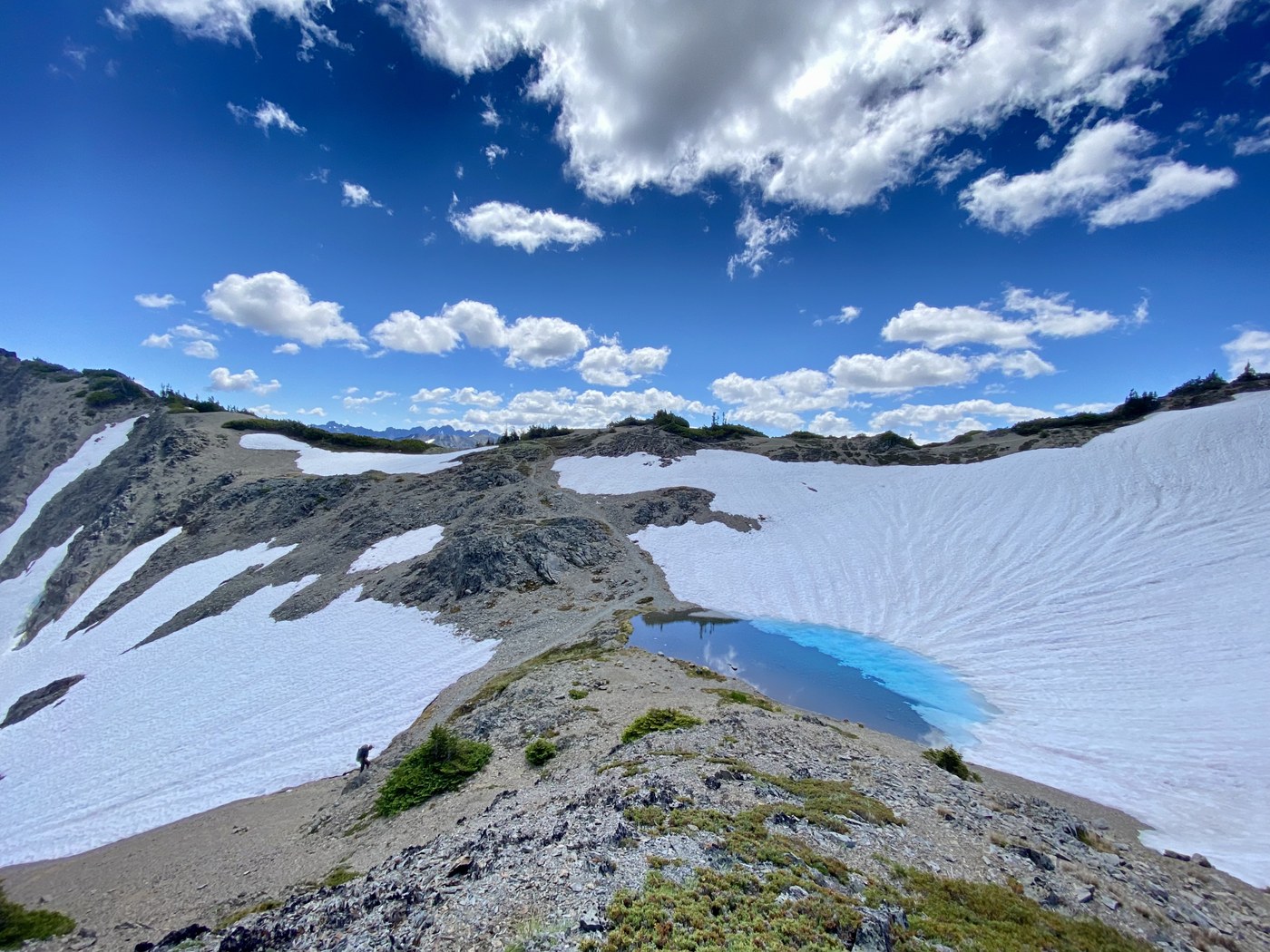
The grand ridge trail briefly descends from Deer Park before steeply ascending again. The expansive views aren’t reached until the 2-2.5 mile mark. The remainder of the trail are remarkable views until observation point. There is no water access on the ridge, nor is the water access at observation point. There were still 3 small snow fields 100-200 yards from observation point. They were easy to cross with hiking poles. The snow fields are likely melted out with the heat this week.
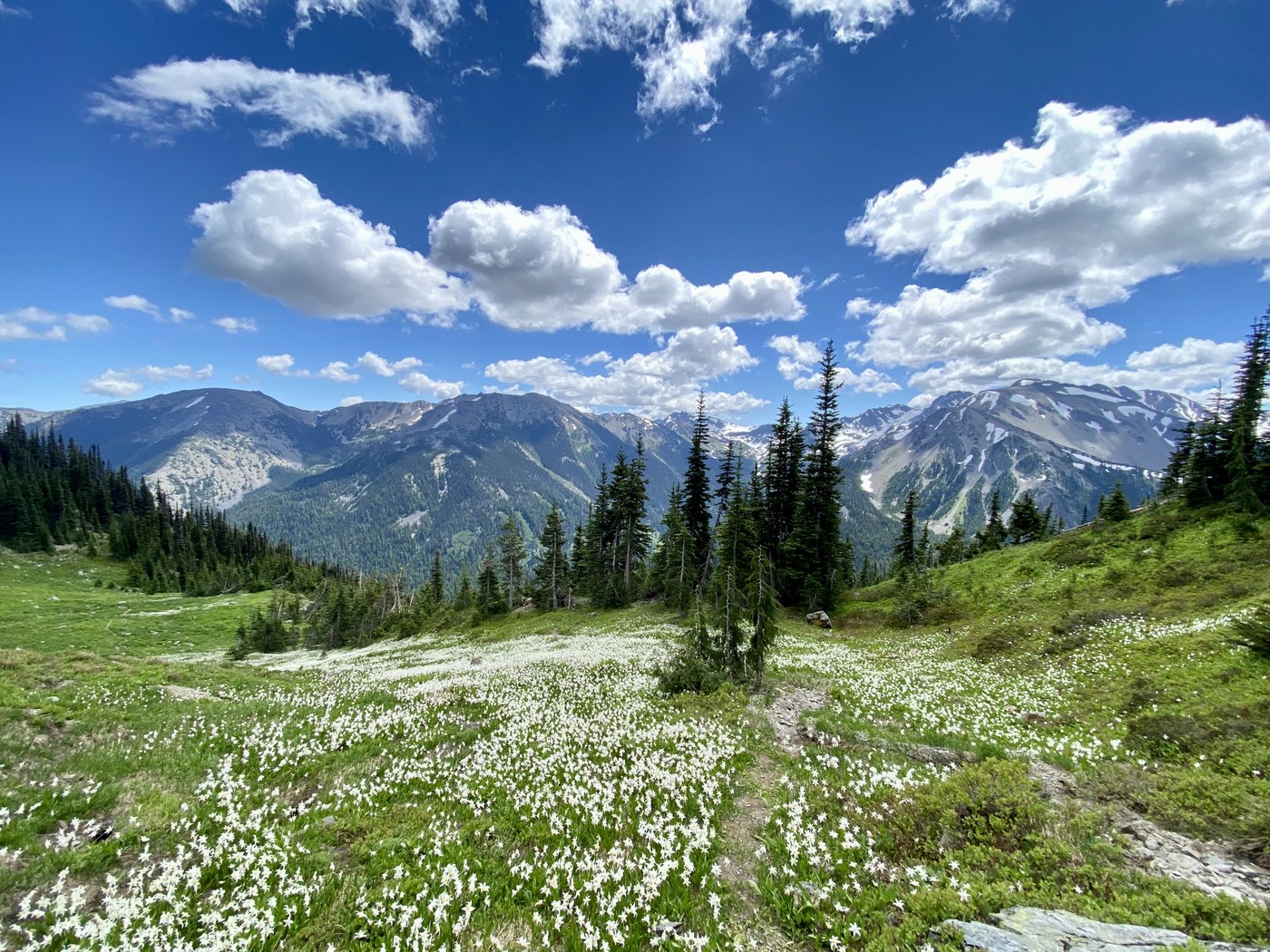
Lillian ridge trail also had remarkable views in all directions. It briefly ascends steeply to the south, reaching about 6400ft, before descending 1200ft to the junction with trail to grand lake. We stayed at Moose lake for the night. The bugs were frustrating as well as the deer. Keep your camp tidy as the deer like to lick/nibble at anything with sweat/salt (socks, flip flops. Straps on hiking poles).
Grand pass trail crossed a few small fields of snow. The snow fields were easy with hiking poles. No need for microspikes. The views from the top were amazing and the trail was in great condition. The trail down to Cameron creek was very steep and difficult to follow in one section due to a large snow field. The trail essentially runs straight through the snowfield down the hill.
The upper part of the Cameron creek trail was over grown, but overall fairly easy to follow. A few water crossings may leave you with some wet feet. One crossing had snow that was undercut by the stream on either side of the creek. Upper Cameron camp has many camp spots spread around the basin with excellent water access. Bugs were worse here than at moose lake. Once camp was set up I ascended to the pass before evening. This was a 1100ft climb in 1.5 miles from the basin. The climb was very steep in places with some loose rocks. Trail was snow free until about 200ft below the pass. Snow was soft and steps were easy to kick in. No microspikes required. Stayed to the right of the trail to ascend. When I returned to Cameron basin I used my kicked in steps to descend. The next day we again used my kicked in steps to make the ascent again.
The lost pass trail was in fairly good condition to the pass. After the pass the trail descends sharply to the Dose. The Dose trail to the gray wolf pass trail is very overgrown. Only a few fallen trees to cross. No difficulty with route finding.
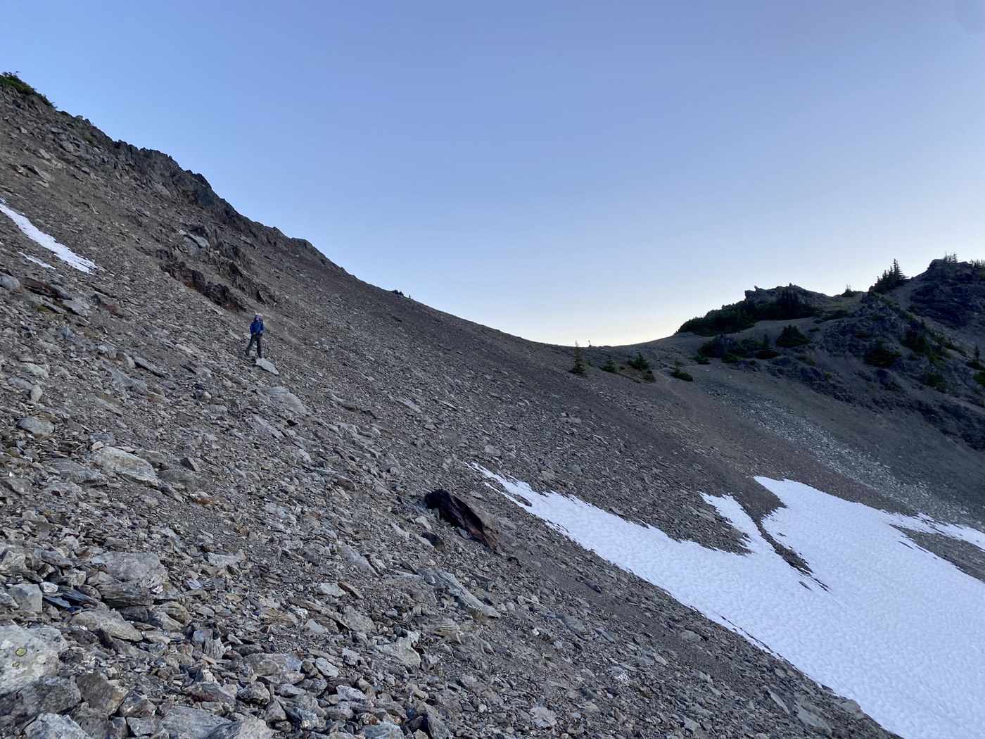
The ascent to Gray Wolf pass was about 2500ft in the trees. Excellent views as you ascend higher. The closer to the pass we got the more the wind increased. At the top evening was setting in and the wind gusts were very strong. 100-200ft from the top there was a steep snowfield. We chose to go over it in the talus. Another snowfield was across the trail at little further. We also avoided this field, sliding down the talus instead. Out of all the passes the Gray Wolf had the most. We camped in the gray wolf basin that night. Bugs were less of a problem then other two camps.
Upper gray wolf trail was in excellent condition. Only on tree to cross after Falls camp. Beautiful trail. The ascent on the three forks was long and constant. Over 3000ft. But the trail is in good shape. Does have some loose rocks in the fire zone.
This loop is a amazing trip. Excellent views much of the way.


Comments