There are two ways to get to Gobblers Knob. When I first started looking at Gobblers Knob and I talked to people that did it they all went into Mt Rainier National Park and drove up the West road (appox 3 miles) to where it is blocked off (washed-out a number of years ago), from there you either hike or bike the road 4 miles until you get to the Lake George trailhead and go from there (approx 2.5 miles). That method is about 12-13 miles round trip. The other is to drive up to Glacier View outside the park and hike the Puyallup Ridge trail (#248) across to Gobblers Knob (3.8 miles or 7.6 miles round trip). There is also less elevation gain going across country as the drive up to Glacier View on FR-59 takes you up to 4500ft. You actually hike down to goat lake and then hike back up to Gobblers Knob so that makes it a little different kind of hike. Some people camp at Goat Lake and do Gobblers Knob as a side trip.
To the trailhead:
From Ashford, WA, take WA 706 E for 3 mi. Turn L onto FR 59. Road ends @ Glacier View trailhead. Finding FR59 can be a challenge, you'll pass well marked Kernahan Road on your right and then about .4 miles there is an unsigned road on the left (on the curve of the road) and this is FR-59. If you pass the Copper Creek Inn and Restaurant, you've gone too far. I used google maps and they tried to take me on a short-cut off FR-59 onto NF-079 (unmarkded and looked very rough). I stuck to FR-59 until I got to the end of the road. About 1 miles (or less) you get to a great viewing of Mt Rainier (Glacier View) but keep going.
I got to the trailhead about 8:30am and only 2 cars in the lot, they likely camped overnight at Goat Lake. It was a little damp out and the mosquitoes were biting.
From the parking area, hike northeast into Glacier View Wilderness, aptly named for its west-side views of the hanging glaciers on Mount Rainier. In 100 yards, turn right onto Puyallup Trail (Trail 248). Less than half a mile later, turn left and hike along the edge of Beljica Meadows. One mile into the hike, turn left on Trail 248 and head north (you'll see the trail sign for Lake Christine to the right). toward Goat Lake basin. I saw some people with their dog camping at the lake. The trail then turns and start climbing. At mile 2.7, continue southeast into Mount Rainier National Park and prepare for a steep uphill ahead. After 3.3 miles, the route turns left for the final, 450-foot climb to Gobblers Knob. There were a couple young ladies staying at the lookout and I mentioned that I didn't know if it was available to stay in and I was told only if you work for the National Park Services as she did.
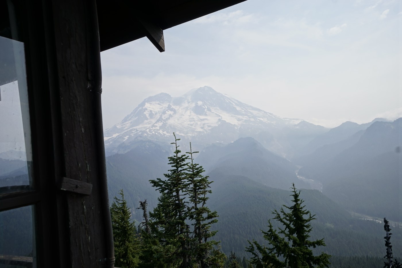
Views were great although a little hazy from the smoke from the BC fires. It looked like it was clearing up a little by the time I left. I was back at the car by 1:00 and headed down to High Rock Lookout.


Comments
2HappyFeet on Gobblers Knob
Thank you for the great detail. You mentioned the road was rough. Was there a lot of Washboard? Potholes?
Thank you
Posted by:
2HappyFeet on Sep 21, 2017 08:14 PM