Length
 Elevation Gain
 Highest Point



From the Westside Road closure, sling on your pack and continue up the road on foot for 3.8 miles. While it is possible to do this portion on your bike, mountain bikes are highly recommended. Road bikes and hybrid bikes may have difficulty with the loose gravel, rock fields and partial sand along the former road.
As you continue, enjoy the rushing Tahoma Creek before hitting a former parking lot about 2 miles in. A former toilet is marked but continue on up. At 3.8 miles, you will see a bike rack fashioned from a log that can hold a dozen or so bikes. The trail starts directly to the left. If you do continue straight, after 0.3 mile, you will see a memorial to 32 men who perished in a plane crash. The touching memorial looks out at the South Tahoma Glacier and is a beautiful spot for reflection.
Back at the trailhead, you will be immediately greeted with a steep climb. The next 0.75 mile climbs 500 feet to the Lake George basin. For anglers, the fishing at Lake George is reported to be exceptional, and licenses are not required within the national park. The trail is mostly shaded but offers few views.
Once you reach the lake, there is a toilet to the left. Take time to enjoy the scenic view. This is your last chance to rest before continuing straight up, and your last chance to see the lake until you hit the lookout!
When you are ready, start your ascent. This 800-foot climb in just under a mile is unrelenting. There are few places to stop and limited flat sections to catch your breath. Along the way, you will pass false hellebores and erythronium montanum. Notice how these striking flowers all face the same direction! As you climb, you will hit a beautiful trail pool. This section can have patches of snow as late as July, but they are usually easily navigable past May.
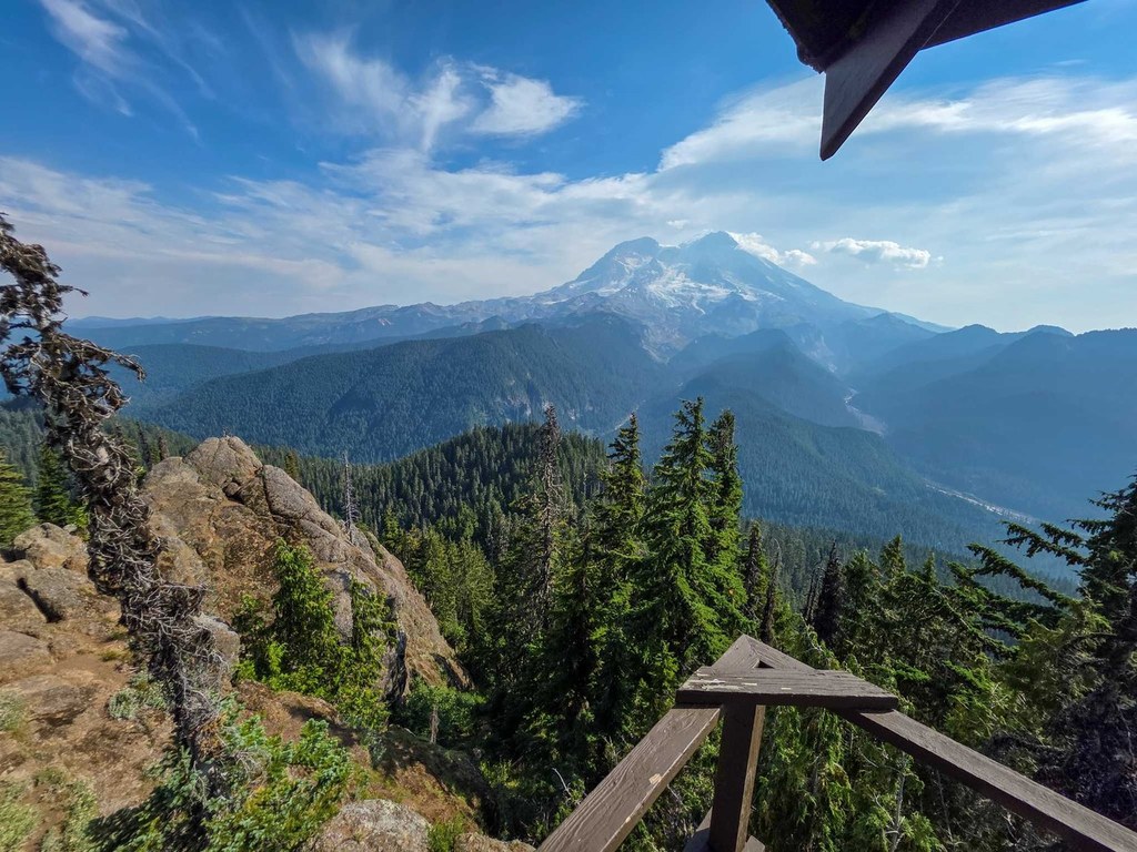
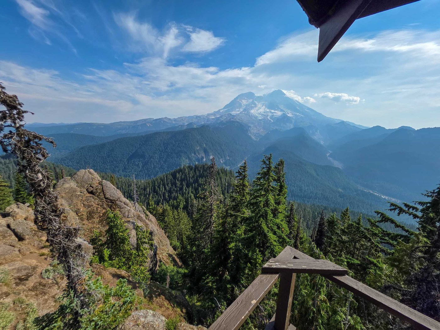
At the Goat Lake junction, bear right, pushing ever upward to the fire lookout where you are instantly greeted with views of Mount Adams, Mount Hood and Mount St. Helens to the south and east, the Olympics to the west, Lake George below, and Mount Rainier looming dead ahead, with front-row views of the Sunset Amphitheater and Tahoma Glacier.
Extend Your Hike
Camp at Lake George for an intro to backpacking or an easy weekend getaway within a mile of one of Washington’s premier viewpoints. If the Lake George permits have all been snatched up, take the Goat Lake Trail (at the saddle junction en route to Gobblers Knob) 1 mile down into the Glacier View Wilderness for less-crowded camping at Goat Lake.

 Trailhead