Total Hiking Distance: 9.6 miles
Elevation Gain: 1,127 feet
High Point: 2,607 feet
Weather Conditions at Trailhead: Mostly Cloudy
Weather Conditions at Middle Tiger summit: Mostly Cloudy and Windy
--Driving Directions--
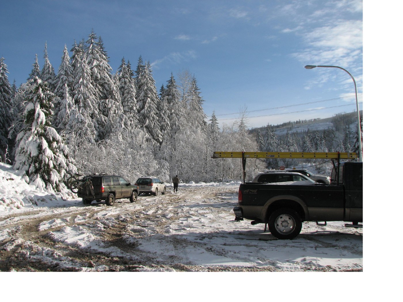
From Seattle, drive Interstate 90 (paved) 23 miles to Exit 25 near Upper Preston. Take a right onto Highway 18 (Echo Glen Road – paved) and travel 4.2 miles to the Tiger Summit Trailhead on the right side of the road. When open, continue through the first parking area and follow the gravel road 0.3 mile to the second parking area. Today, we were forced to park in the first parking area adding 0.6 mile round-trip to our hike.
--The Experience--
When we arrived at the first parking area, we were perplexed about a man who was apparently sitting in his truck randomly honking his horn. Upon pulling in beside him, we noticed that his steering wheel airbag had deployed and he was apparently trying to remove it. I turned off the diesel engine and stepped out of the cab, immediately taking note of the penetrating cold. I grabbed my boots from the floorboard and walked to the rear of the truck, letting down the tailgate. I began the long, tedious process of changing into my hiking boots, donning my water-proof shell, strapping gaiters to my feet, pulling a balaclava and fleece beanie over my head and putting on gloves. The wind arrived in frequent gusts ripping the snow off of tree limbs and depositing it upon us. After a quick scan of the truck’s interior to ensure that all items of value were hidden, the lights were off and the doors were locked, we were off.
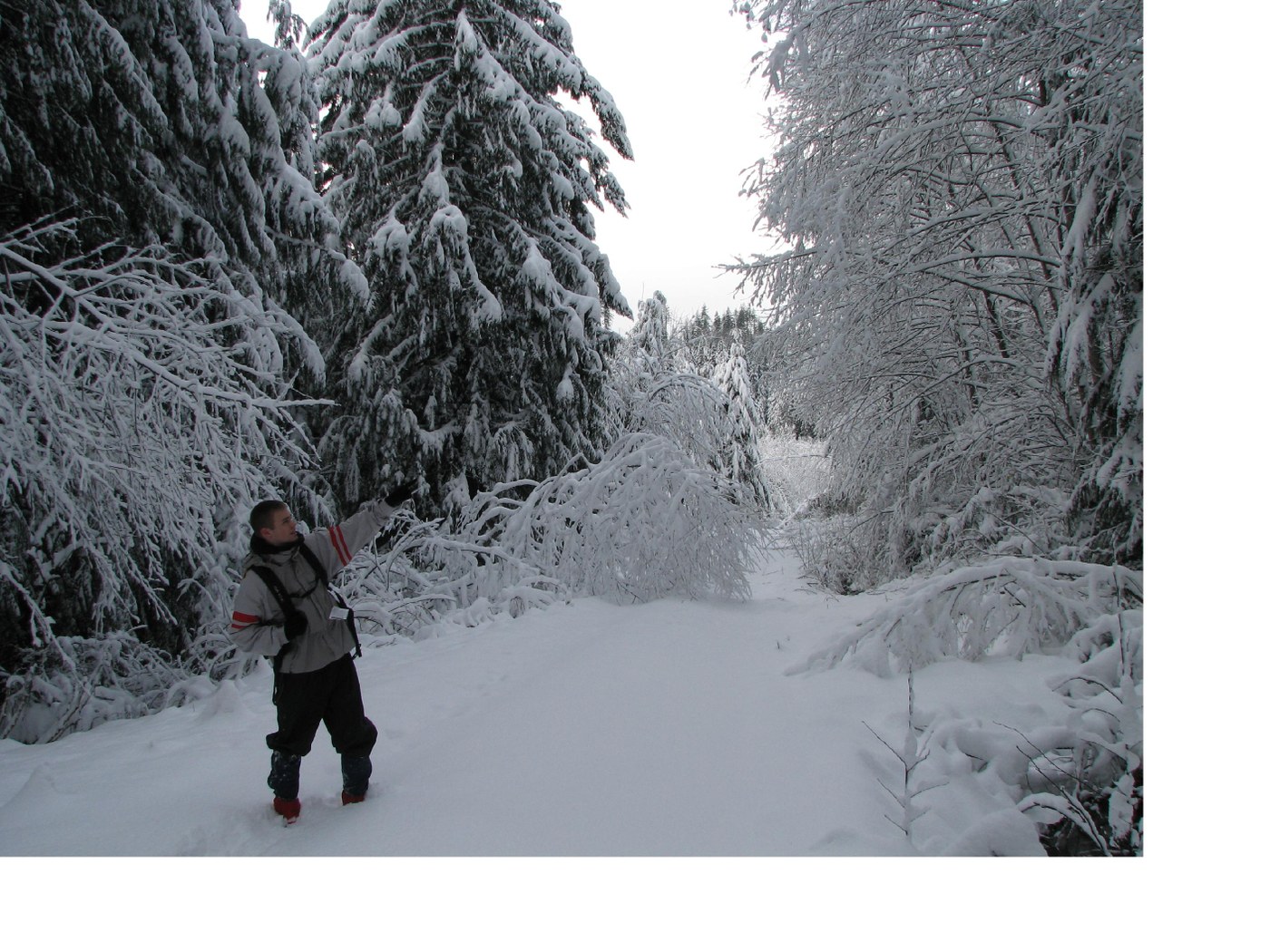
We were immediately presented with a choice: to take the gated forest road to the right (Main Tiger Mountain Road) or to stay left (West Side Road). Since our goal of the day was Middle Tiger, we opted for the latter. The ground was covered with a fresh layer of snow, maybe on the order of two to four inches, on top of which was a litter of sticks and pine needles. Noticing the cold, Jayson stopped and requested help applying a beanie to his face as a makeshift face mask. We wedged one side of the beanie between his face and goggles and let the rest of it hang down over his mouth and chin. It reminded me of an oxygen mask and Tristan of a beak. Even though the road was gated, there was a pair of tire tracks through the snow along the first 0.5 mile or so.
At 0.3 mile we passed the second parking area on the right. At an elevation of 1,400 feet, this parking area is a popular launching point for hikers following the West Side Road or the Iverson Railroad Trail in the warmer months. We stopped briefly here so I could take my map out of my backpack and plan our next move. We ultimately chose to continue our march along West Side Road. The road continued its westerly run with snow depth gradually increasing, especially along the more southerly exposed areas. We passed two cross-country skiers and their pooch, following the path they left in their wake. The road soon swung toward the southwest, passing an unnamed spur road to the left (this road later rejoins West Side Road further on). On an up-and-down traverse the road slowly approached Holder Creek just north of South Tiger Mountain. There were numerous trees and branches covering the road, bent down and broken by the weight of the snow. Many of these obstacles required skillful ducking, climbing or scampering around. We soon rounded a forested bluff and what appeared to be a rock quarry on the right. According to Green Trails Map 204S, this area is labeled as ‘View’ but the trees have grown up completely blocking any glances of distant lands to the west. From here, the road swings north, gradually descends to cross a small unnamed tributary creek and turns west again. Just before the junction with the Iverson Railroad Trail, the trees thin, allowing more sunlight to illuminate the road.
At 1.9 miles, the signed junction with the Iverson Railroad Trail is reached (elevation: 1,420 feet) on the right. This trail is closed annually between October 15th and April 15th. It travels just over 1.5 miles in a generally easterly direction to empty out at the second parking area at Tiger Mountain Summit. Stopping here to take a glance at the map, Tristan plopping down on the ground, we heeded the trail closure and decided to continue along West Side Road to the northwest. Just past this trail junction, we encountered a thick tangle of blow-downs that at one moment had us clambering along the edge of the road.
Just 0.3 mile further, we encountered trail junction number two (elevation: 1,500 feet). To the right was the signed Tiger Mountain Trail and to the left was an unmarked gated forest road (the gate was open). This forest road leads a short distance to both the South Tiger Traverse and the continuation of the Tiger Mountain Trail. Still having plenty of daylight left, we stayed with West Side Road, passing above small Otter Lake below. Its waters were visible through the trees. The road curved north once more and skirted the Tiger Mountain State Forest boundary. Soon the road made a sharp switch-backing curve to the south as it descended into a deep creek valley. It was where the road swung back northwest when we encountered a woman and a German Shepherd marching in the opposite direction. Her husband followed about 0.25 mile back and said they had come from the 15 Mile Creek Trailhead. They continued their ascent and we kept heading down before crossing another small tributary creek and encountering our third trail junction, signed, 3.7 miles from the trailhead (elevation: 1,200 feet). We glanced at the map and decided to take this route, the Middle Tiger Trail, to Millan’s Crossing. Ascending a short series of switchbacks, we quickly encountered our fourth signed trail junction.
The path in front of us was the beginning of the Hobart-Middle Tiger Mountain Railroad Grade which descends to the banks of Fifteenmile Creek in 1.6 miles, then makes a sharp turn uphill to join the Tiger Mountain Trail at Hal’s Cove. We stayed with the Middle Tiger Trail, to the right, and continued our ascent. The mile-long section of the Middle Tiger Trail before Millan’s Crossing was, at times, difficult to follow because of snow cover. There were numerous downed trees and snow covered branches strewn across the trail and at times I had to remove my backpack to scamper underneath fallen logs. It was along the lower reaches of this trail segment that Jayson and Tristan, who had their partially consumed bottles of Powerade in pouches on the outsides of their backpacks, noticed the liquid was beginning to freeze.
Upon reaching Millan’s Crossing (elevation: 2,180 feet - signed) and our fifth signed trail junction with the Tiger Mountain Trail, we took note of the significantly colder temperatures and the snapping of the wind in the trees above. The path to the right led in 1.6 miles to the junction with West Side Road we had passed earlier in the day.
The path to the left led 1.2 miles through Joe’s Hollow and Denny’s Bulge to Hal’s Cove. Donning full arctic gear, we headed straight, uphill. As we ascended uphill from Millan’s Crossing, the wind began to howl and the temperature plunged. The path climbed in short switch-backs up the east side of a forested ridge and, upon cresting the ridge, turned west. Small cornices were beginning to make themselves present and the wind tossed curtains of swirling snow around us. The trail here was completely obscured by snow cover but we followed a general course due west uphill, soon stumbling upon the wooded and inhospitable summit (elevation: 2,607 feet). The Green Trails Map, once again, labels this area as ‘View’ but only a small sliver of view can be seen to the north. We stopped momentarily to stuff some food into our mouths, trying to ward off frostbite by keeping our hands inside our gloves. In consequence to those times when I was forced to remove my hands from my gloves for increased dexterity, they were numb within a minute. We made haste in rehydrating, Tristan and Jayson with their slushy Powerade (mine was still 100% liquid as it was kept within the interior of my backpack). The Middle Tiger Trail continued on down the northwest side of the mountain to join an unnamed forest road. The snow on the summit was one to two feet in depth.
We quickly descended back to Millan’s Crossing, ate a little more food, and continued our descent back to the junction with the Middle Tiger Trail and West Side Road. I stopped here to readjust my clothing, eat some Doritos and snap a new background photo for my cell phone. I soon noticed that my own Powerade was beginning to freeze. The climb out of the creek gully presented me with an opportunity to don my headlamp as darkness was quickly falling. The hike back along West Side Road was relatively uneventful and we only stopped to rest and regroup a couple of times.


Comments
Tiger Mtn report
Posted by:
Bettilaugh on Dec 17, 2008 06:30 AM