





Starting at the Middle Fork trailhead at 6:20 AM, I was nine miles in before I saw my first person. He was a wiry man with worn, perfectly packed gear. I asked whether he’d gone to Hester. He said he had. I asked how the trail was. With a reserved smile, he said, “It’s a very, very hard trail.”
I asked if it was at least visible, or if the blowdowns obscured it completely. He said there were a lot of blowdowns, but you could generally see the trail coming out the other side, except for one really big one just before the lake, which you had to climb on top of so you could walk down the trunk for a while until the trail reappeared. I thanked him and kept walking.
Five minutes later, I came across his disheveled friend. I asked if he’d gone to Hester Lake. He groaned. “Ugh, it was HORRIBLE. You have to cross a ton of streams, and there’s no way to cross them without getting your whole shoe wet” - this he illustrated by pointing at one of his tennis shoes, which chimed in with a loud “Squelch!” - “and there are all these trees you have to climb over and under and over and under, and it’s horrible. Beautiful, though. And there’s nobody up there; you have it to yourself. So… yeah, it was worth it. But horrible.”
To me, that sounded like a lot of fun, but maybe not on a day when the CRV was out of commission and I’d had to leave the Civic (nicknamed Esther) at a lower trailhead, adding 12 round-trip trip miles to my hike. So, I turned around a couple miles early. I wasn’t able to walk from Esther to Hester, but I’ll be back another day!
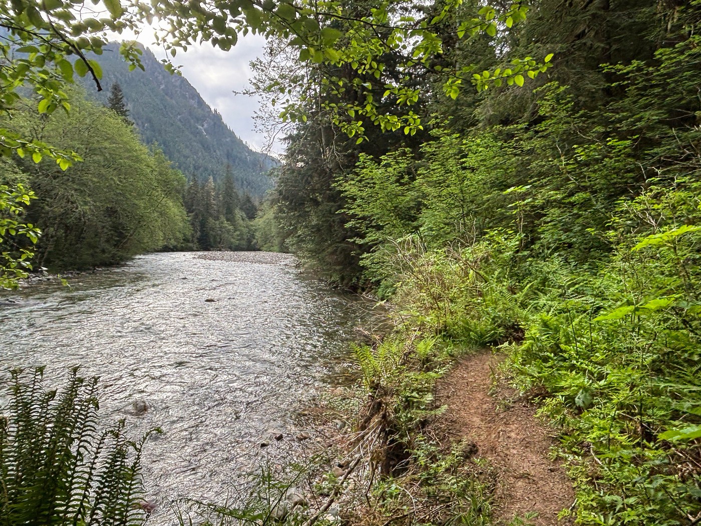
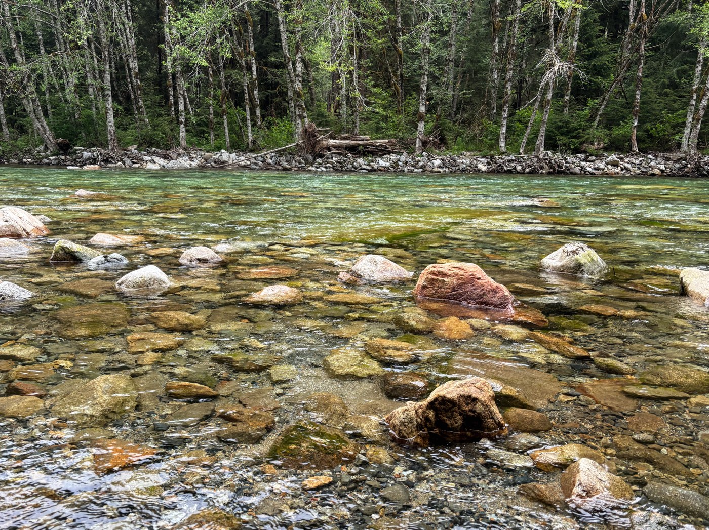
Route: Middle Fork trailhead to Dutch Miller Gap Trailhead toward Hester Lake. Turned around at the Myrtle Lake/Hester Lake junction. Throughout, views were of the forest (and occasionally river) at hand rather than sweeping landscapes. A good hike for cloudy/drizzly days!
Middle Fork notes:
Road: paved; down to one lane in a couple spots, but otherwise in perfect shape.
Parking lot: left half of the giant lot, 5 cars at 6:20 AM, 20 cars at 3 PM.
Bathroom: use one of the many smaller trailheads on your way in; they’re usually stocked (the Mine Creek day use area was clean with 2 rolls of TP at 6:10 AM). Middle Fork was dirty with no TP at 6:20 AM and 3 PM.
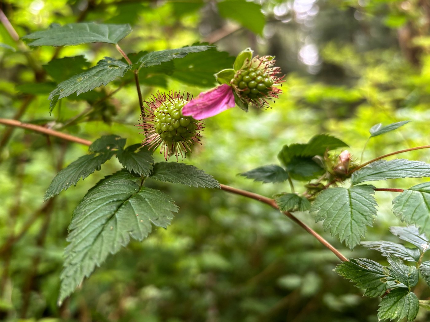
Trail condition: the very beginning is the prettiest, with the bridge, river, and cliffs; a good spot for someone to dip their toe in nature and turn back for a picnic near the parking lot. After the first couple miles, it’s brushy on and off, but it’ll be tasty later – salmonberries, strawberries, salal, thimbleberries, blackberries, and blueberries. About 3.6 to 4 miles in, there are eight small blowdowns (1-2 feet thick), then one about 3 feet thick and flat on the ground. None were difficult to navigate. At about 4.3 miles, the trail meets the river and in two spots looks ready to fall into it. At about 4.5 miles, there’s another blowdown about 3 feet thick, not hard to get over. Overall, don’t be fooled by the minimal net elevation gain; these 6 miles are rolling ups and downs.
People: no one in the morning, seven times in the afternoon.
Dutch Miller Gap notes:
Parking lot: 9 cars at 8:45 AM and 16 cars at 12:10 PM.
Bathroom: clean with half a roll at 8:45 AM, clean with no TP at 12:10 pm, garbage can about 1/3 full both times.
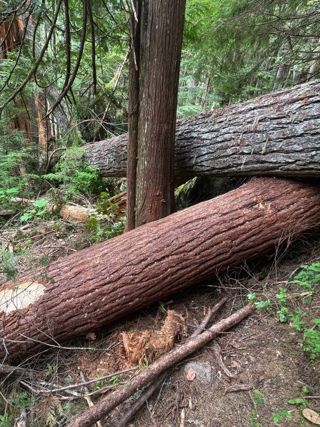
Trail condition: steep, rooty, and rocky to Pumpkinseed Falls. Three big blowdowns (3-4 feet thick) shortly before the falls, one crossing diagonally over another on an uphill stretch of trail, a little tricky to climb over. Trail after the falls relatively flat, springy dirt cushioned by tiny pinecones. Plenty of blowdowns, many with branches and brush, but mostly smaller. The trail is visible if you stand on the first fallen log in each small mess. About 7.8 miles from the first trailhead, one blowdown on top of another, lots of brush/branches underneath, top about 4 feet above the trail.
People: the aforementioned campers, plus 3 other groups of 3.
Comments