
Walked the Japanese Gulch trails from the south (farthest from the water) trailhead off 76th St SW. Parking is free and somewhat plentiful with room for about 29 cars. There is a single, well maintained sanican currently at this lot. Trails can also be accessed from the dogpark trailhead along W Mukilteo Blvd or the northern most trailhead down by the water just across the railroad tracks from Edgewater beach. The trails are a bit of a tangle, especially on the south end but there is a nice map at the trailhead and some signage at major trail intersections. There are some muddy spots, but that is pretty typical for this property and nothing is completely blocking. One other note, the trails on the south are a bit flatter, wider and in better condition than those to the north so a little better for little ones or seniors.
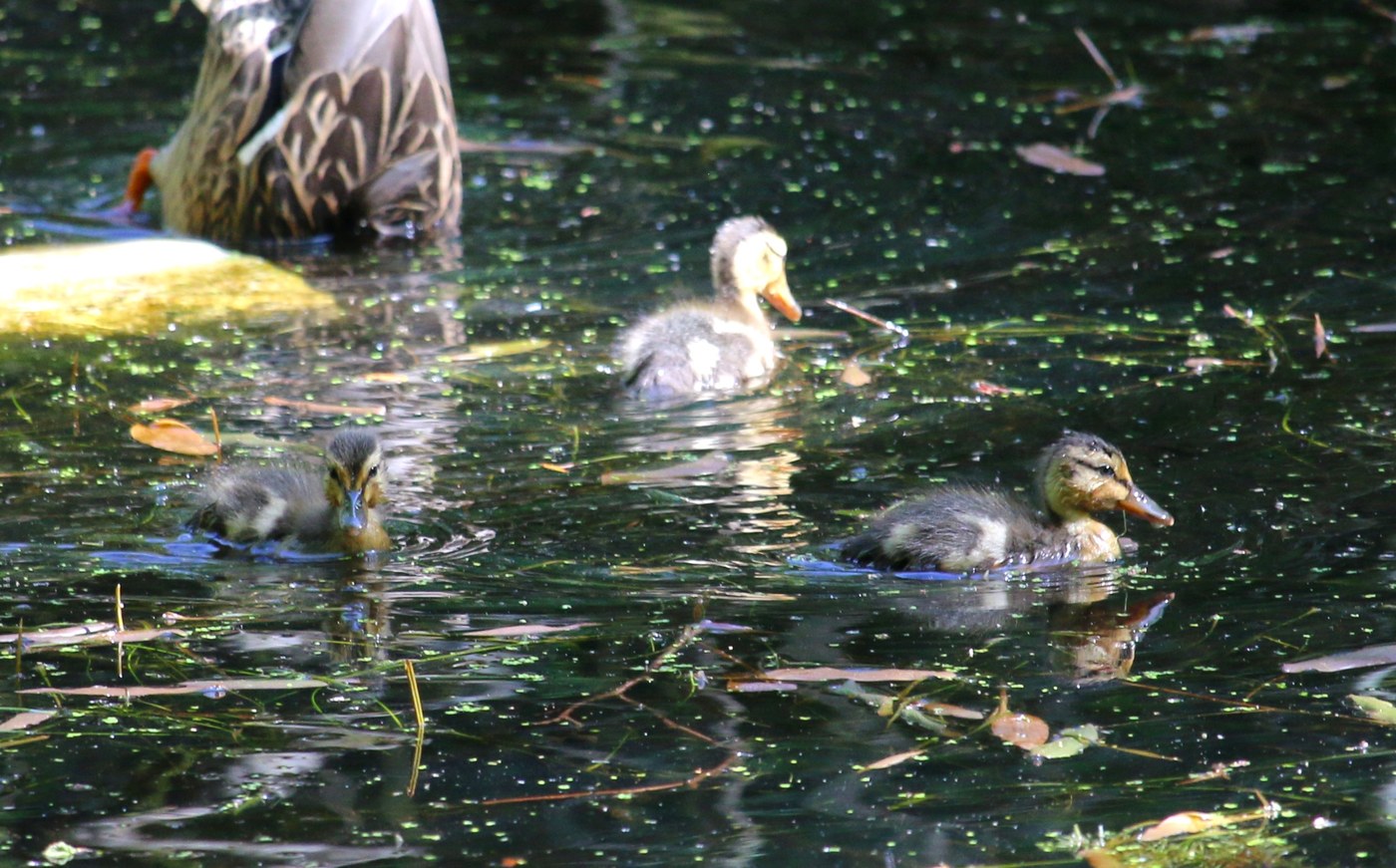
A bit of wild life out with lots of spring bird chatter, a couple woodpeckers, some squirrels, etc. Lots of pretty pink bleeding heart, the little native coral bells, miner’s lettuce plus some salmon berry still blooming plus everything is getting super green now. Ran into a couple pre-school instructors with their group of little minions, they were having a “forest lunch” today, what a wonderful idea. The first instructor pointed out a family of little mallard ducklings I’d missed. One of the little boys was much more intent on letting me know how much he liked his birthday piniata, fair enough :) For folks more interested in the man made type flying things, airplane spotting out of Paine Field is pretty good in some places as they come in really low right overhead right up the gulch. A nice little forest walk with some interesting history if you are in the area.
Link to further information about the history of the area - https://www.historylink.org/File/22854
Link to PDF trail map - https://www.mukilteowa.gov/DocumentCenter/View/1125/Japanese-Gulch-Trails-Map-11-by-17-PDF


Comments