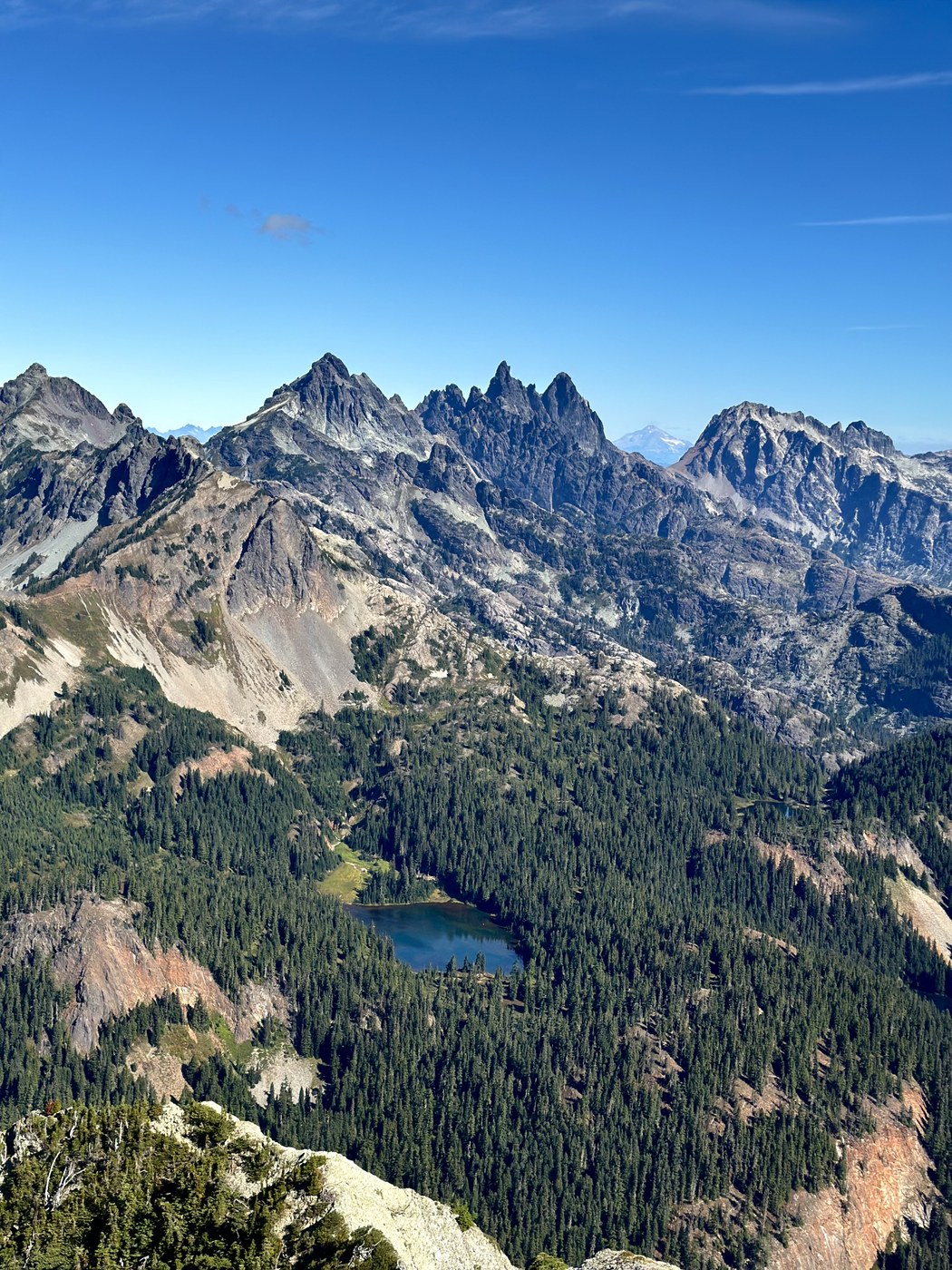
Ascent of Hibox followed by Rachel Lake and Alta Mountain. The road to Rachel Lake Trailhead is not paved for the last ~5 miles, but is easy to navigate with some scattered potholes. This report is mostly for Hibox, as Alta is mostly a straightforward (though rocky/rooty) hike up to Rachel Lake and the ridge above it followed by a hike/easy scramble up Alta's ridge to the summit. The blueberries on the ridge are plentiful and delicious - get them before they’re gone in a week or two!
As for Hibox, it is billed as mostly a trail to the summit block, but after the first easy 2.25 miles along the Rachel Lake trail with ~500 feet elevation gain, you take a turnoff to the right, at which point it almost looks as if there's not really a trail after all. This is because half of the time using the term "trail" to describe the approach to Hibox is a lie. I would describe the route up to Hibox summit block as "half-Mailbox, half-bushwhack." Like everyone else, I am glad I went, but I probably won't go again (RIP my knees). It's 3200+ feet elevation gain on poor footing, deep roots, steep dirt paths, talus fields, and downed logs.
Once you complete the approach up the mountain, there are two main options to access the summit from the first branch point just before the summit block at ~6250 feet:
1) The first is to climber's left up a gully between two rock buttresses and is a bit spicier - Class 3 moves to the top of the gully with what I'd say is high Class 3 to Class 4 to the peak for the last 100 feet. I continued until the Class 4 section but turned around there and downclimbed the gully as I was solo today.
2) To climber's right from the split is a relatively short and simple section that wraps around the East side of the summit with mostly Class 2 moves after you make a low-exposure Class 3 set of moves through a cleft in the rock. This is the route I chose for summiting. There are also multiple routes on this side that afford more exposure and more technical moves. If you're looking for a safe route to the top, look for the rock cleft early in the wraparound and ascend there rather than continuing on.
The scramble was fun but short with multiple options of differing difficulties, and the views from the top of Hibox - including Thomson to the left and Three Queens to the right, the Chikamin Ridge, Lemah, Daniel, as well as further away Glacier Peak and Stuart and, of course, Tahoma, are beautiful. I quite enjoyed the scramble, however I don't know how much it's truly worth it, as you can get a similar, less painful scrambling experience on McClellan Butte or Mount Si's haystack (though without the same views).
Stats: distance ~14 mi, net elevation gain: ~7000 feet for both peaks
GPX: Peakbagger


Comments