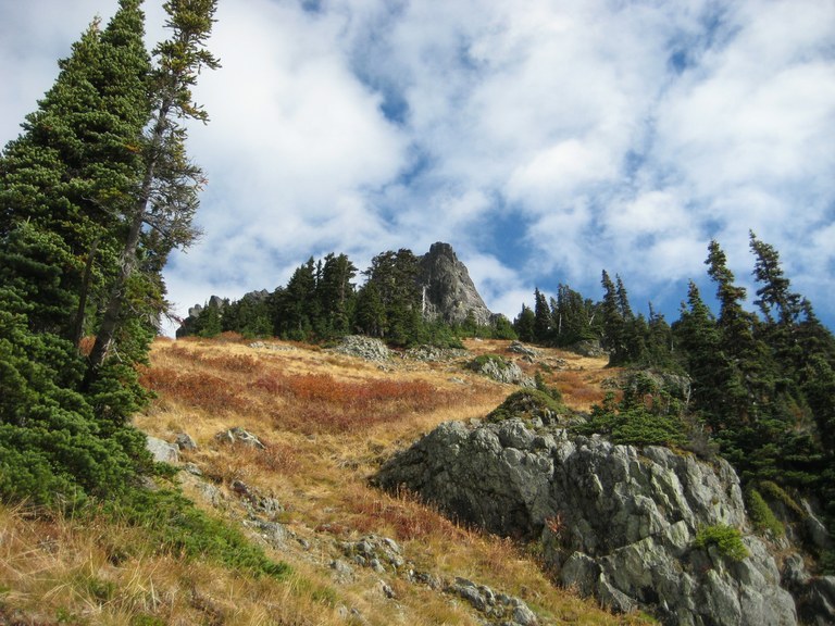
Summiting Hibox requires route finding experience and comfort with scrambling.
Hibox Mountain

 47.4008,
-121.2840
Map & Directions
47.4008,
-121.2840
Map & Directions

-
 Length
- 10.0 miles, roundtrip
-
 Elevation Gain
- 3,900 feet
-
 Highest Point
- 6,560 feet

7.17.26: Fire responders have asked hikers and recreators to avoid this area as they respond Three Queens Fire, burning 1.5 miles northwest of Little Lake Kachess.
Parking Pass/Entry Fee
America the Beautiful Pass or Northwest Forest Pass
Summiting Hibox requires route finding experience and comfort with scrambling.
Continue reading

Hiking Hibox Mountain
Hibox Mountain
Map & Directions
 Trailhead
Before You Go
7.17.26: Fire responders have asked hikers and recreators to avoid this area as they respond Three Queens Fire, burning 1.5 miles northwest of Little Lake Kachess.
Parking Pass/Entry Fee
America the Beautiful Pass or Northwest Forest PassWTA Pro Tip: Save a copy of our directions before you leave! App-based driving directions aren't always accurate and data connections may be unreliable as you drive to the trailhead.