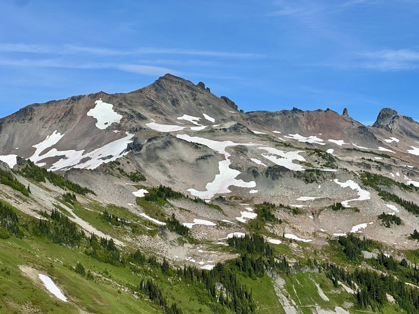
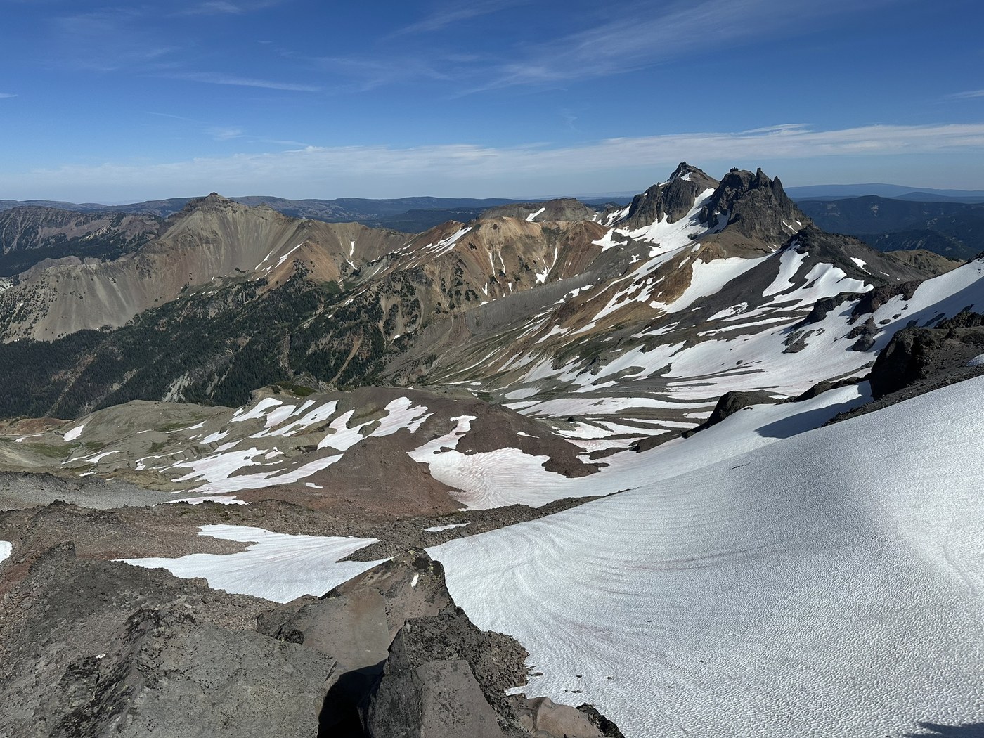
Did loop counterclockwise. Snow still sticking around the packwood glacier. Scramble to old snowy was challenging.
Road to Snowgrass TH
Mostly washboard and I was able to make it there in Prius without any issues.
Snowgrass TH to Bypass trail #97
Mostly covered under trees and stream flowing next to you makes it calm and enjoyable. Many downed trees in this section mostly on bypass trail.
Bypass Trail to Cispus Pass
This is one of the best section of the trail all the way to Cispus basin, could have avoided going all the way to the pass as views are best in basin. No Mt Adams view from the pass.
Cispus Pass to Snowgrass flats PCT
Trail drops down and then starts climbing after bottoming. Bunch of water sources. Tons of backpackers making their way to flats to camp.
Snowgrass PCT intersection to Packwood glacier
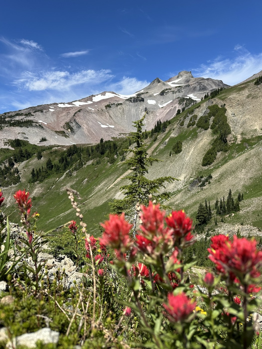
No snow before glacier. Views of Mount Adams keeps on getting better. At lower section of the trail there was poop smell probably due to absence of toilets in campground which motivates you to walk faster. There are tons of wildflowers on this section of the trail. Carpets after carpets of different colors filled with paintbrushes, columbines, Lupines and so many other wildflowers.
Packwood glacier to Old Snowy
Went to Summit Old snowy, lots of route finding needed. Very windy. Somewhat exposed class 3 scramble. There is one section where I had to use all 4 limbs to climb down.
Old Snowy to Elk Pass
This section via PCT alternate took much longer than expected due to the loose rocks and ridge walk. There is lot of exposure on both side of the ridge and be careful of not launching rocks on the west side as PCT is right below this. Did not reach Elk pass as I had hit my turn around time.
PCT back to Packwood Glacier
This was hardest section for the day for me which was apparently on PCT. Small loose rocks and snow covers most of this section. I took much longer to cross this section. I had ice axe which was helpful in snow but I was worried about my footing the whole time.
Packwood glacier to Goat lake
This link between the PCT and Lily basin trail is not maintained and you keep on losing the trail. Route finding ability is needed if using this short cut. Many streams to fill water from once on Lily Basin trail. Marmots were whistling and were alarmed with presence of dogs in their vicinity.
Goat Lake to Jorden Creek Basin
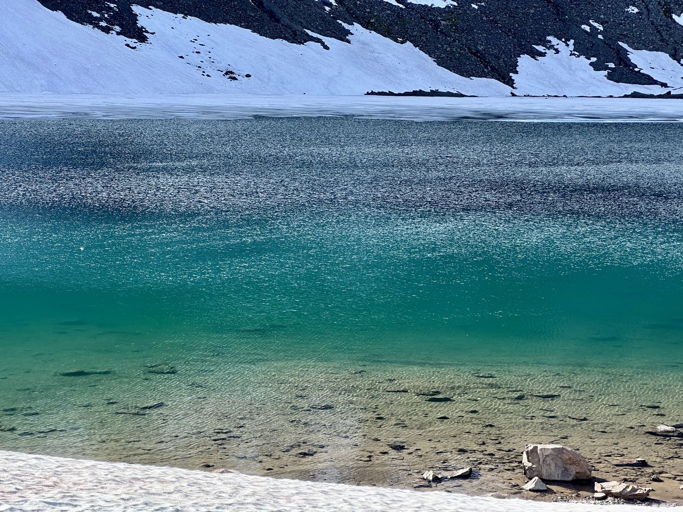
Lots of campers near the lake. Enough opportunity to fill water. Spent time exploring the area around the lake and headed to goat ridge. There is enough snow still left on the lake and around the lake. Lots of wildflowers once you leave the lake area and head towards hawkeye point.
Jordan Creek Basin to Berry Patch via Goat ridge trail
Many downed trees, lots of rocks and roots, there is only one source of water after leaving the jordan creek basin campground. Many people camping in this basin and people were still coming up around 8pm. Once at Berry Patch went I walked on road to snowgrass trailhead.
Stats: 23 miles and 5800 feet of elevation gain/loss.


Comments
No bugs? That would be a never before experienced miracle for Goat Rocks in July!
Posted by:
Maddy on Jul 21, 2025 07:56 PM
It was very windy and bit cooler temperatures.
Posted by:
vikr on Jul 22, 2025 12:29 AM
A day hike? What do your overnighters look like? Very nice report and great video.
Posted by:
slo go on Jul 22, 2025 08:10 AM