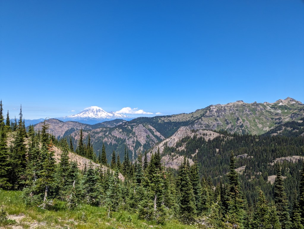
Goat Ridge https://adminonly.wta.org/go-hiking/hikes/goat-ridge https://adminonly.wta.org/site_images/hikes/hike-image-2023-07-26-0685080020/@@download/image/PXL_20230722_193031640.jpg Goat Ridge South Cascades > Goat Rocks 46.4669, -121.5265 Map & Directions The Goat Rocks Wilderness. Photo by SavvyExploring. Full-size image Dogs allowed on leash Established campsites Mountain views Ridges/passes Parking Pass/Entry FeeNorthwest Forest Pass Permits Required Wilderness permit. Self-issue at trailhead (no fee) Add Hike to My Backpack Saved to My Backpack Continue reading Rating 3.55 out of 5 (11 votes) Log in to rate 113 trip reports for this trail Write a trip report Hiking Goat Ridge Toilet Information Toilet at trailhead More information about toilets Goat Ridge Map & Directions Trailhead Co-ordinates: 46.4669, -121.5265 Open in Google Maps Before You Go See weather forecast Parking Pass/Entry FeeNorthwest Forest Pass Permits Required Wilderness permit. Self-issue at trailhead (no fee) WTA Pro Tip: Save a copy of our directions before you leave! App-based driving directions aren't always accurate and data connections may be unreliable as you drive to the trailhead. More Hike Details Trailhead South Cascades > Goat Rocks Goat Ridge (#95) News From the St. Helens to the Gorge, WTA is bringing new and improved trails to Southwest Washington August 29, 2025 Learn Angry Mountain: One trail's role in a sustainable system You can improve or add to this guidebook entry! Update page