Roughly 40 mile loop starting at Deer Park.
TLDR: Great trail with limited obstacles/blow downs. Lots of water access throughout the loop, which is required for those hot sunny summer days. As someone who is very uncomfortable with exposure, no part of this trail felt unsafe. Clockwise or counterclockwise would work equally well as each direction has its challenges. Most people we met seemed to be going clockwise.
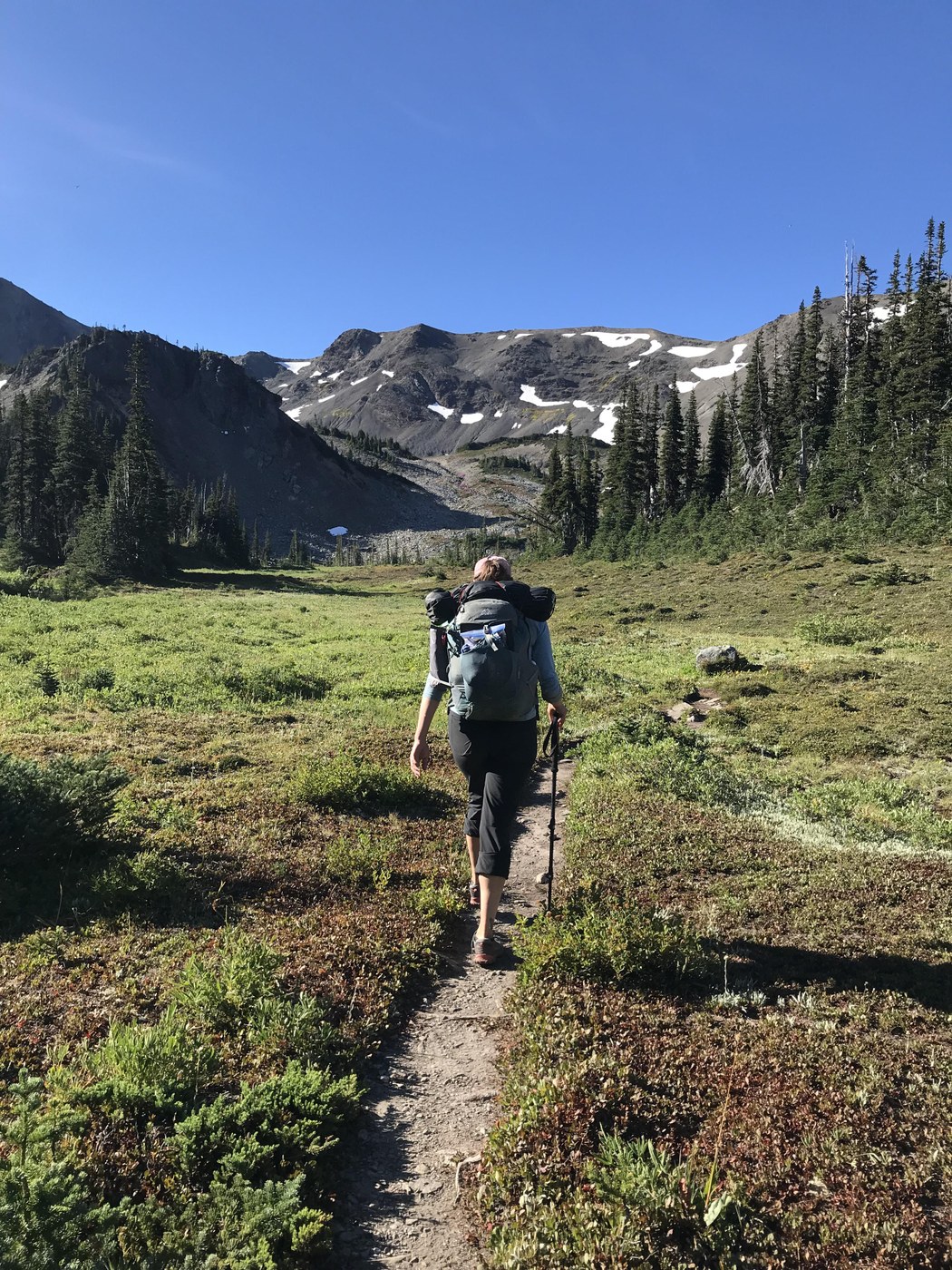
Deer Park —> Badger Valley/Grand Lake via Grand Ridge: The ridge line here is hot and exposed and does not have any water access. We were not able to get water until we started dropping into the valley where we found a few springs and eventually reached a reliably flowing creek. Wasps were an annoyance and stung a member of our party. Lots of flies as well.
Grand Lake: The buggiest area on our loop and where we camped our first night. Cute little lake, but would stay at Moose next time as that lake is more scenic. Tons of fish were jumping at Grand so come prepare for some good catch and release fishing. Lots of campsites around the lake. We were told that there was a hornet nest near site 5 so we avoided that area. A well maintained privy with two toilets is near the bear wire.
Grand Lake to Grand Pass: Easy to follow, beautiful trail. Lots of water access as you climb until you start nearing the pass. The views from Grand Pass are gorgeous. A quick scramble up to Grand Mountain gives you even better views including a peek at Mt Rainier and Mt Olympus.
Grand Pass to Upper Cameron: The decent down into the valley was our least favorite of the trip. Many sections here are steep with loose rock. Nothing dangerous, but it requires slow movement at times. We had hoped we would be able to follow the ridge that extends from Grand Pass to Cameron Pass since we knew a primitive trail exists here (it’s visible), but there seemed to be more exposure than our party would be comfortable with. Upper Cameron is a lovely place to camp with big open meadows and a rushing stream. The wildflowers were out in full force leading up to Upper Cameron making it a gorgeous part of the hike.
Cameron Pass: Rocky with lots of shale and loose gravel under your feet. A large gully cuts through the trail but is easy to croas with sturdy feet. No exposure anywhere here, just lots of places where you could slide and have a bad time. The views here were my favorite from our loop.
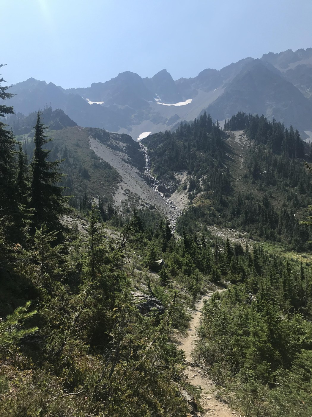
Cameron Pass to Lost Pass: Beautiful terrain with open meadows and amazing views. Is often exposed and quite hot. Many streams coming out of the bowl that sits between these two passes giving you ample water sources. We heard rumors about the hazardous climb to Lost Pass but found this to be an uneventful and easy part of our hike.
Lost Pass to Bear Creek Campground (Butler Creek): We had also been warned about dropping down Lost Pass and again found this to be relatively easy. The trail is well maintained without much hassle. Our group agreed descending Grand Pass was worse. So many blueberries in this area!!! Watch out for bears. Luckily we didn’t see any. Bear Creek Campground is pretty miserable. I would not recommend camping here soon if you can avoid it. There are two small sites, both of which currently smell like horse poop (of which there is A LOT at one site). Surprisingly though, this site has a great privy! The trail through the valley is brushy with cow parsnip making this my least favorite section of our hike. Many others camped at Dose Meadows which I would imagine is a much better option.
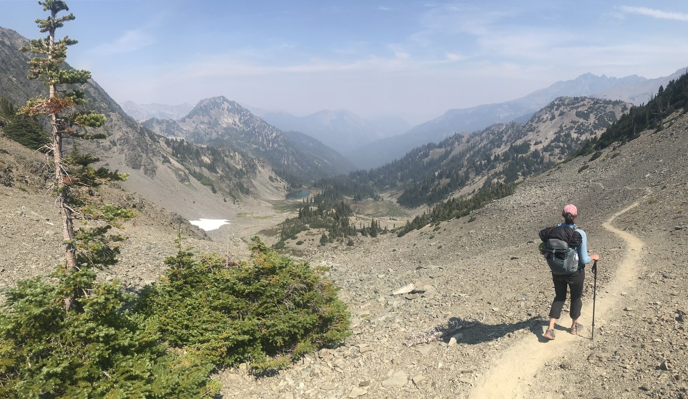
Butler Creek to Gray Wolf Pass: Wildfire smoke and a heat wave hit us hard this day making the climb up the Pass all the more miserable. The trail is in great condition and much of the climb is luckily quite shaded until near the end which makes it manageable. Many more berries here to snack on, so that helped as well. Smoky views from Gray Wolf Pass for us, but otherwise a beautiful vista.
Gray Wolf Pass to Ellis Creek Campground: The trail descending from the pass is easy to follow without consequence or exposure, though once again you’re walking through scree fields. Quickly enough you make it to a small tarn and creek where you can fill up your (likely depleted) water bottles. As you drop the valley grows more and more beautiful until eventually you’re surrounded by old growth, heavy moss, ferns and a raging river. This area is gorgeous and lush. We stayed at Ellis Creek and loved it. Ellis has three spots compared to the much larger (10?) Gray Wolf and Three Forks campsites. All were beautiful. No privy at Ellis but both Gray Wolf and Three Forks had one.
Three Forks to Deer Park: The climb out to the trailhead at Deer Park is long and cruel. The nearly 4000 foot gain will make you question why you decided to save the worst for last. There is no water once you leave the valley so fill up before your climb begins. Luckily the trail is mostly shaded with the exception of the old burn out area near the top.
Leave a snack in the car to reward yourself! This loop is beautiful and filled with so much variation and solitude.


Comments
Nutmeg on Grand Ridge, Badger Valley, Cameron Pass, Upper Gray Wolf River to Gray Wolf Pass, Three Forks
Thank you for your clear, detailed report! We're going this M-Sat. so your info. is very helpful. We're in/out Deer Park, camping at Lower Cameron, Lost Pass Basin, somewhere between Dose Meadows & Bear Camp, Cedar Lake, Gray Wolf then the haul out. I'm so excited! Fingers crossed (for many reasons) that the fires will be more contained, temps lower, and AQI good.
Posted by:
Nutmeg on Aug 14, 2021 11:47 AM
ngie on Grand Ridge, Badger Valley, Cameron Pass, Upper Gray Wolf River to Gray Wolf Pass, Three Forks
Thank you for the detailed report -- I'm definitely saving this for future trips 💚.
Posted by:
ngie on Oct 25, 2021 01:32 PM