Length
 Elevation Gain
 Highest Point

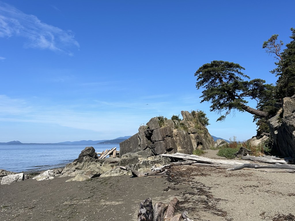


Start at either the amphitheater in Larrabee State Park or the Lost Lake trailhead on Chuckanut Drive, and visit both Wildcat Cove and Clayton Beach in one go.
Larrabee State Park
The stats provided reflect a hike starting from Larrabee State Park. You can head down to Wildcat Cove from the park amphitheater.
To continue to Clayton Beach, walk to the parking lot and along the roadway that shoots off to the right, closed to non-park staff traffic. At 0.6 mile, the Madrona Trail pushes off to the right at a signed junction toward Clayton Beach and immediately descends on a stone staircase into the forest. Walk above the shoreline and the railroad tracks, with peek-a-boo views of the bay.
At 0.9 mile, see a signed junction for the Interurban Trail to the left; continue to the right to stay on Madrona. At 1 mile, turn right onto Clayton Beach Trail and continue on a wider path across bridge and boardwalk sections scattered through a low-lying area until the railroad tracks appear again.
Walk over the bridge spanning the tracks to descend again for the final stretch to the beach. At 1.7 miles, the beach appears.
Explore the tidal areas, sun on the rocks and enjoy the views into the San Juan Islands. Backtrack to the trailhead for the complete 2.8 miles.
Lost Lake trailhead
The route can also be completed starting from the Lost Lake Trailhead on Chuckanut Drive. Just cross the highway and descend stairs to head left toward Clayton Beach, or right to go toward Wildcat Cove.
WTA Pro Tip: Railroad tracks actively used by Burlington Northern Santa Fe Railroad and Amtrak bisect Larrabee State Park. Be prepared for railroad noise when visiting the park.
 Trailhead