Trails for everyone, forever

Home Go Hiking Hiking Guide Larrabee State Park - Wildcat Cove

Larrabee State Park - Wildcat Cove

Puget Sound and Islands > Bellingham Area
48.6516, -122.4911 Map & Directions
Length
0.6 miles, roundtrip
Elevation Gain
110 feet
Highest Point
93 feet
Calculated Difficulty About Calculated Difficulty
Easy
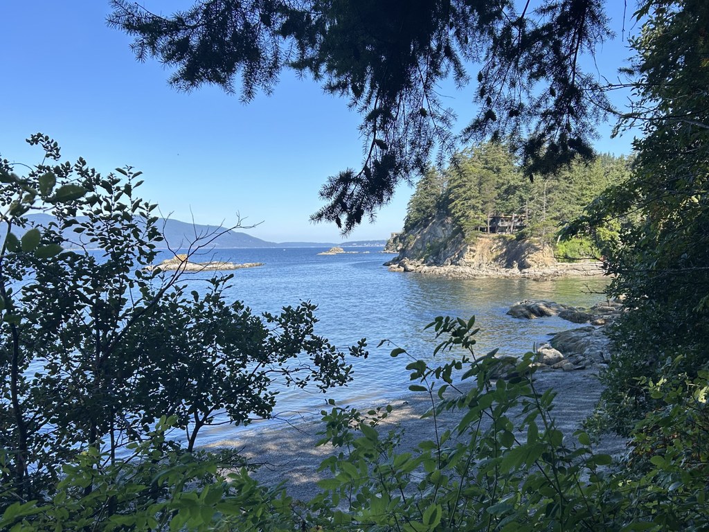
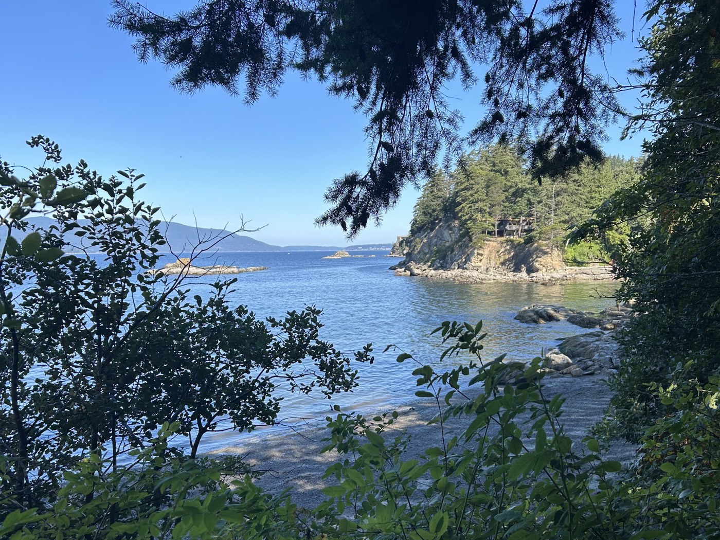
Wildcat Cove in Larrabee State Park on a sunny day. Photo by Jen Boyd. Full-size image
  • Coast
  • Dogs allowed on leash
  • Fall foliage
  • Good for kids
  • Wildflowers/Meadows
  • Wildlife

Parking Pass/Entry Fee

Discover Pass

Walk in a coastal forest south of Bellingham to enjoy scenic Wildcat Cove, with views into the San Juan Islands from the shoreline of Samish Bay. Continue reading

Rating
0.00 out of 5

(0 votes) Log in to rate

Hiking Larrabee State Park - Wildcat Cove

From the parking lot near the amphitheater in Larrabee State Park, head toward the amphitheater and go through a tunnel that takes the trail underneath active railroad tracks. Check out the murals in the tunnel by the artist known simply as “Henry,” considered the most prolific mural artist in Seattle.

Descend the stairs and turn right for the right loop on the Wildcat Cove Trail, following the path downward and then over a short bridge that offers an option to continue onto the beach — stay right. Head up and follow a short loop that offers a wide and incredibly scenic view of Wildcat Cove at 0.2 mile. 

Backtrack to the junction adjacent to the tunnel and keep straight to head to the left loop of Wildcat Cove Trail. Walk through a forested section away from the water, and enjoy the ferns, salal, salmonberry, snowberry and evergreens. Bear right and enjoy expansive views of Wildcat Cove and Samish Bay at 0.4 mile. A bench here offers a lovely lunch spot or the opportunity to stare at the water and daydream. Follow the loop back to the left to return to the tunnel and trailhead.

WTA Pro Tip #1: Railroad tracks actively used by Burlington Northern Santa Fe Railroad and Amtrak bisect Larrabee State Park. Be prepared for railroad noise when visiting the park. 

WTA Pro Tip #2: Fishing and shellfish harvesting is allowed but requires a Washington Department of Fish and Wildlife license

Toilet Information

  • Toilet at trailhead

More information about toilets

Hike Description Written by
Jen Boyd, WTA Correspondent

Larrabee State Park - Wildcat Cove

Map & Directions

Trailhead
Co-ordinates: 48.6516, -122.4911 Open in Google Maps

Before You Go

See weather forecast

Parking Pass/Entry Fee

Discover Pass

WTA Pro Tip: Save a copy of our directions before you leave! App-based driving directions aren't always accurate and data connections may be unreliable as you drive to the trailhead.

Getting There

From south of Bellingham, take the I-5 exit 231. Follow WA-11 north to Larrabee State Park. The entrance will be on the left. 

Alternatively, from I-5 in Bellingham, take exit 250 and head west on Old Fairhaven Parkway. Turn left at the second light onto 12th Street, which merges into Chuckanut Drive (SR 11). Continue for just over 5 miles, and turn right into Larrabee State Park. 

Take transit

Route 105 operated by Whatcom Transportation Authority stops in Fairhaven, where the Interurban Trail goes to Larrabee State Park.

More Hike Details

Trailhead

Puget Sound and Islands > Bellingham Area

Washington State Parks

Guidebooks & Maps

https://parks.wa.gov/sites/default/files/2024-08/Larrabee%20overview%20full%20color%20Map.pdf

You can improve or add to this guidebook entry!

Larrabee State Park - Wildcat Cove

2 Trip Reports

Hiked here recently?

Submit a trip report!
 
Loading trip reports...
Trip Reports