
The Frog Pond loop is a long, thin loop that can be hiked from either direction. The whole trail is known as the Frog Pond Trail, but the map and signage differentiates the northern leg of the loop as Upper Frog Pond, and the more southern leg of the loop is Lower Frog Pond. This hike description follows the loop clockwise. (You can also do a shorter 2.5-mile version of the loop, which cuts through the middle.)
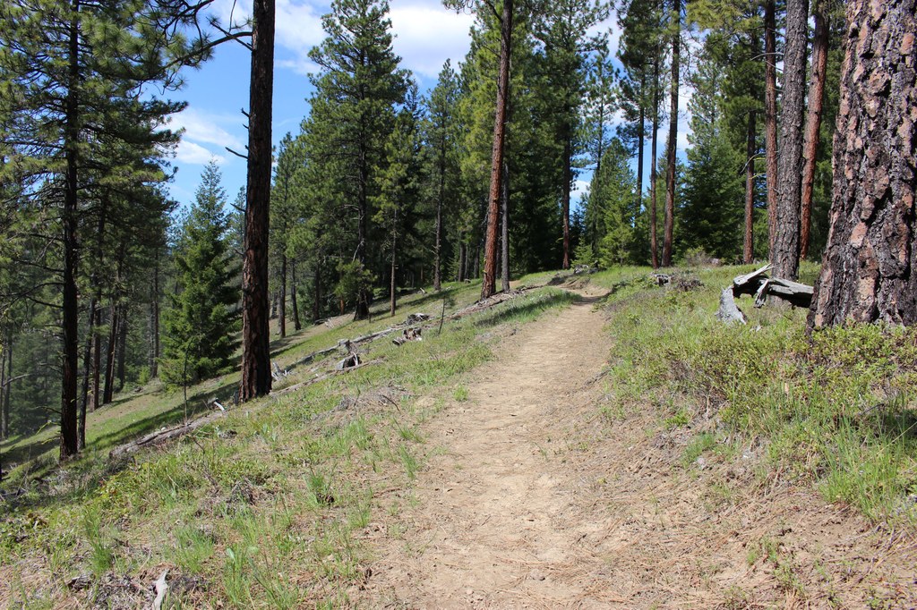
From the West Fork trailhead, follow the signs for Frog Pond trail to connect into the loop system, then follow the signs marked Lower Frog Pond. The first mile of trail starts with a gentle climb from the parking lot up to the top of a wide, forested plateau.
Once you gain some initial elevation, the trail contours the hillside and meanders through the trees, offering glimpses of the river valley below and the Cle Elum ridge across the valley to the south.
About a mile into your hike, the trail opens onto an old logging road and continues for about 250 feet before turning left back onto a singletrack trail. Follow the singletrack for another 0.3 mile until the trail once again opens back onto a section of old logging road. From there, the trail continues on the road for about 0.25 mile before transitioning back to singletrack.
Another 0.7 mile of singletrack takes you to the top end of the loop, where the trail meets another road. Take a right turn and follow the signs on the road for a short distance until you see a sign on your right labeled Frog Pond Rock.
This short side trail will take you to a large sandstone slab that offers a perfect midway stopping point for photos and snacks. There are open views of Cle Elum ridge, and you can see the Stuart Range peeking through the trees on the north side of the slab.
Once you’ve taken in the views, head back to the road and follow the signs for Upper Frog Pond. The pond itself is fed by winter snowmelt and spring rains, and often expands to cover the trail in the early spring. If this is the case, you can always backtrack a hundred feet and take a right onto a road bed that shrinks to a singletrack; follow this trail for a short distance and then take a left turn to cut back over to the Upper Frog Pond trail.
Beyond the pond, the trail continues through the woods for 2.5 miles, cutting across the relatively flat interior of the plateau before dropping elevation through several well graded switchbacks down to the parking lot.
Note on social trails
As you hike, you’ll notice intersections with old road beds and social trails in various stages of being decommissioned. The Teanaway Community Forest is saturated with user built trails that cut through wildlife habitat. Please do your part to preserve this beautiful landscape by staying on the established trails.
 Trailhead