

The Frog Pond Trail is a long, thin loop that can be hiked from either direction. The whole trail is known as the Frog Pond Trail, but the map and signage differentiates the northern leg of the loop as Upper Frog Pond, and the more southern leg of the loop is Lower Frog Pond. This hike description follows the loop clockwise and describes the shortened version of the Frog Pond loop.
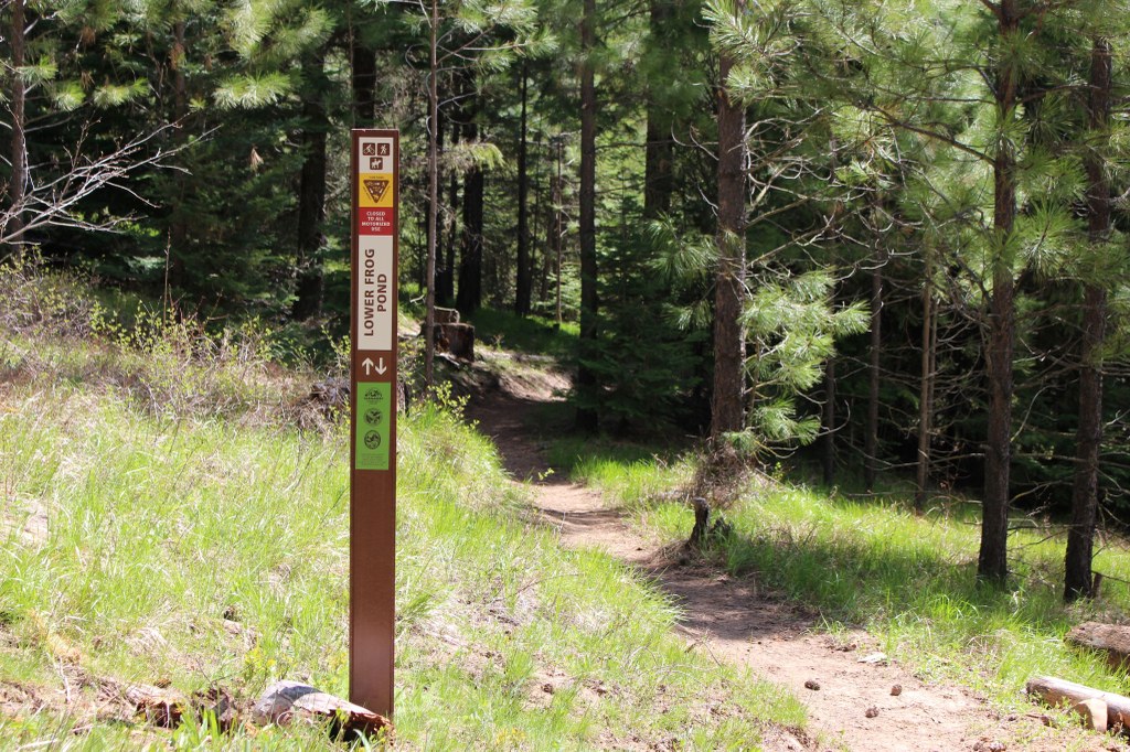
From the West Fork trailhead, follow the signs for Frog Pond trail to connect into the loop system, then follow the signs marked Lower Frog Pond. The first mile of trail starts with a gentle climb from the parking lot up to the top of a wide, forested plateau.
Once you gain some initial elevation, the trail contours the hillside and meanders through the trees, offering glimpses of the river valley below and the Cle Elum Ridge across the valley to the south.
About a mile into your hike, the trail opens onto an old logging road and continues for about 250 feet before taking a right turn. This is a short crossover trail that bisects the larger Frog Pond loop.
After 0.1 mile, take a right turn to merge back onto the main trail and continue to follow the trail signs. You’ll notice that the trail signs now say Upper Frog Pond, since you’ve crossed onto the northern leg of the full loop.
The trail continues through the woods for another 1.5 miles, cutting across the relatively flat interior of the plateau before dropping elevation through several well graded switchbacks down to the parking lot.
Note on social trails
As you hike, you’ll notice intersections with old road beds and social trails in various stages of being decommissioned. The Teanaway Community Forest is saturated with user built trails that cut through wildlife habitat. Please do your part to preserve this beautiful landscape by staying on the established trails.
 Trailhead


