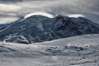
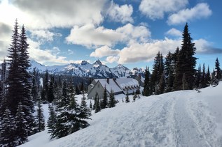
Surprise Lake and the surrounding land is entirely on private property and is closed to hiking.
Surprise Lake

-
 Length
- 4.0 miles, roundtrip
-
 Elevation Gain
- 1,444 feet
-
 Highest Point
- 4,435 feet
Trail closed: The lake and the surrounding area are closed to public access.
Surprise Lake and the surrounding land is entirely on private property and is closed to hiking.
Continue reading
Hiking Surprise Lake

WTA worked here in 2022!
Surprise Lake
Map & Directions
 Trailhead
Before You Go
Trail closed: The lake and the surrounding area are closed to public access.
Parking Pass/Entry Fee
NoneWTA Pro Tip: Save a copy of our directions before you leave! App-based driving directions aren't always accurate and data connections may be unreliable as you drive to the trailhead.