Stevens Peak

Stevens Canyon Road is closed for the winter season.
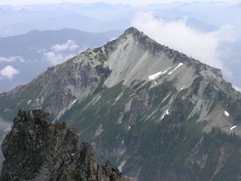

Hiking Stevens Peak
Stevens Peak
Map & Directions
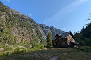
 Trailhead
Before You Go
Stevens Canyon Road is closed for the winter season.
WTA Pro Tip: Save a copy of our directions before you leave! App-based driving directions aren't always accurate and data connections may be unreliable as you drive to the trailhead.