Trails for everyone, forever

Home Go Hiking Hiking Guide South Puyallup to Klapatche

South Puyallup to Klapatche

Mount Rainier Area > SW - Longmire/Paradise
46.7800, -121.8852 Map & Directions
Length
18.6 miles, roundtrip
Elevation Gain
5,000 feet
Highest Point
5,900 feet
Calculated Difficulty About Calculated Difficulty
Hard

9.11.25: Westside Road is closed until further notice due to debris flow activity from thunderstorms.

Photo by Joey Smith. Full-size image
  • Dogs not allowed
  • Established campsites
  • Fall foliage
  • Lakes
  • Mountain views
  • Old growth
  • Rivers
  • Wildflowers/Meadows
Saved to My Backpack

South Puyallup to Klapatche is a scenic section along the western portion of the Wonderland Trail. Continue reading

Rating
3.60 out of 5

(5 votes) Log in to rate

Hiking South Puyallup to Klapatche

For hikers who don't want to hike the whole Wonderland Trail, the section can be reached via a shorter out-and-back or loop starting from the Westside Road.

The out-and-back hike starts from the Westside Road trailhead and follows the decommissioned roadbed for roughly 3.5 miles before reaching the old South Puyallup trailhead. The South Puyallup trail heads east toward the mountain, climbing slightly uphill as you ramble along the river for 2 more miles before reaching the junction with the Wonderland Trail. There is a permitted campsite here for backpackers who want to rest before tackling the upcoming hill.

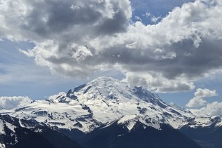
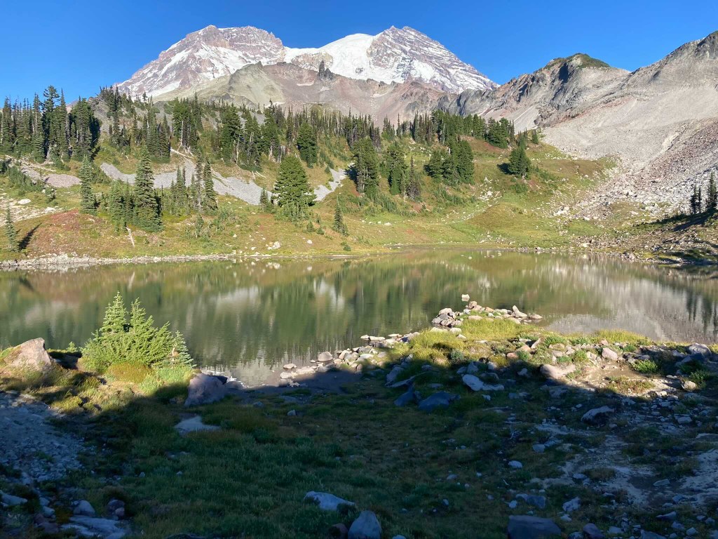
Take a left at the Wonderland Trail junction to start your 2.2-mile ascent out from the river valley and up toward Klapatche Park. Continue north to find incredible views of Rainier and stop at the large St. Andrews Lake and eventually the smaller Aurora Lake, which serves as a great turnaround point.

South Puyallup to Klapatche

Map & Directions

Trailhead
Co-ordinates: 46.7800, -121.8852 Open in Google Maps

Before You Go

9.11.25: Westside Road is closed until further notice due to debris flow activity from thunderstorms.

See weather forecast

WTA Pro Tip: Save a copy of our directions before you leave! App-based driving directions aren't always accurate and data connections may be unreliable as you drive to the trailhead.

Getting There

From the Nisqually entrance of Mount Rainier National Park (off Highway 706), drive east on Nisqually-Longmire Road for 1 mile. The turnoff for the Westside Road is on your left. There is no designated parking area, so be sure to park in such a way that traffic can flow uninterrupted along the road.

More Hike Details

Trailhead

Mount Rainier Area > SW - Longmire/Paradise

Mount Rainier National Park

You can improve or add to this guidebook entry!

South Puyallup to Klapatche

18 Trip Reports

Hiked here recently?

Submit a trip report!
 
Trip Reports