Trails for everyone, forever

Home Go Hiking Hiking Guide Rica Canyon Trail

Alert: On Oct. 1 the federal government began a partial shutdown that will impact National Parks, National Wildlife Refuges and U.S. Forest Service lands in Washington. Here's the latest information we have for hikers and campers


Rica Canyon Trail

Olympic Peninsula > Northern Coast
48.0019, -123.5983 Map & Directions
Length
0.25 miles, roundtrip
Elevation Gain
30 feet
Highest Point
75 feet
Calculated Difficulty About Calculated Difficulty
Easy
The entrance to the Rica Canyon Trail. Photo by trip reporter WWASeq. Full-size image
  • Dogs not allowed
  • Old growth
  • Rivers

Parking Pass/Entry Fee

National Park Pass
Saved to My Backpack

A very short connector trail between the Elwha River trail and the Geyser Valley trail. Continue reading

Rating
0.00 out of 5

(0 votes) Log in to rate

Hiking Rica Canyon Trail

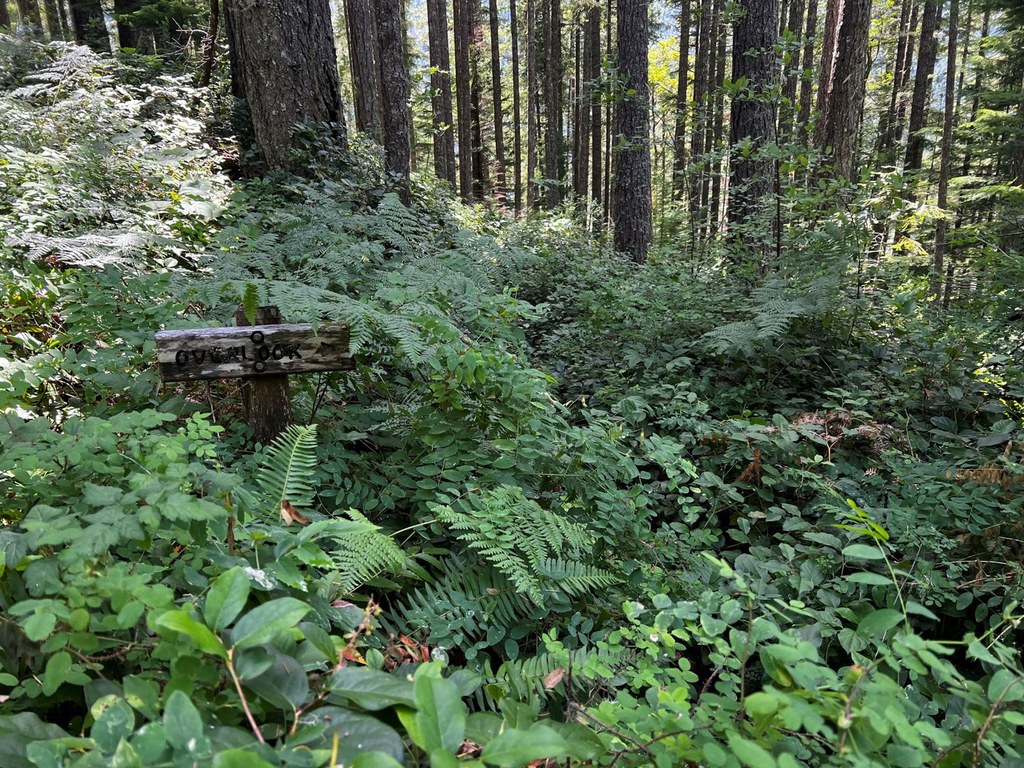
A very short connector trail between the Elwha River trail and the Geyser Valley trail. Since the washout of the Elwha River Road, this trail has become very overgrown and difficult to navigate. 

Toilet Information

  • No toilet at trailhead

More information about toilets

Rica Canyon Trail

Map & Directions

Trailhead
Co-ordinates: 48.0019, -123.5983 Open in Google Maps

Before You Go

See weather forecast

Parking Pass/Entry Fee

National Park Pass

WTA Pro Tip: Save a copy of our directions before you leave! App-based driving directions aren't always accurate and data connections may be unreliable as you drive to the trailhead.

More Hike Details

Trailhead

Olympic Peninsula > Northern Coast

Olympic National Park

You can improve or add to this guidebook entry!

Rica Canyon Trail

1 Trip Report

Hiked here recently?

Submit a trip report!
 
Trip Reports