Trails for everyone, forever

Home Go Hiking Hiking Guide Mountaineer Ridge

Alert: We are still in the midst of an active disaster. Learn more and how you can help.

Landslide risk, tree-fall in saturated soils and related hazards remain very high and have closed trails and roads, including major highways and forest roads. 

Respect closures, check forecasts, consider delaying your hiking or recreation plans, and stay safe out there.


Mountaineer Ridge

Central Cascades > Leavenworth Area
Highest Point
6,920 feet
Saved to My Backpack
Rating
1.50 out of 5

(2 votes) Log in to rate

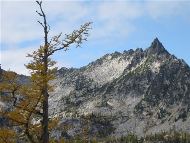
Hiking Mountaineer Ridge

Mountaineer Ridge

Map & Directions

Before You Go

WTA Pro Tip: Save a copy of our directions before you leave! App-based driving directions aren't always accurate and data connections may be unreliable as you drive to the trailhead.

More Hike Details

Trailhead

Central Cascades > Leavenworth Area

You can improve or add to this guidebook entry!

Mountaineer Ridge

4 Trip Reports

Hiked here recently?

Submit a trip report!
 
Loading trip reports...
Trip Reports