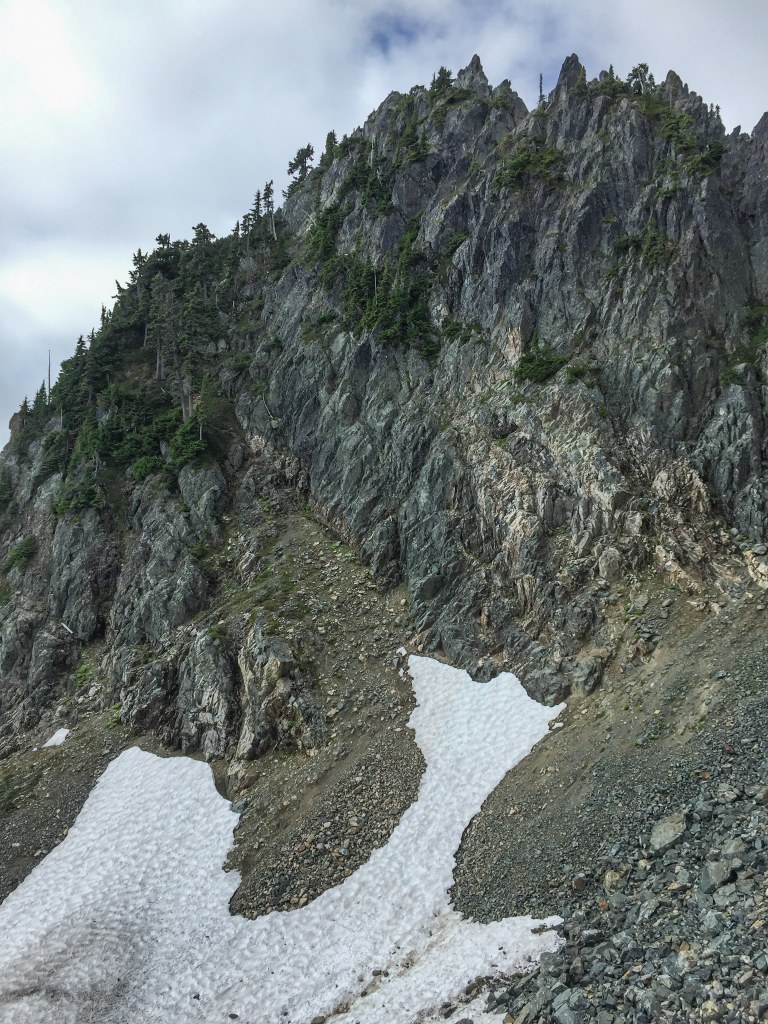

A climb off I-90 near Melakwa Lake. Gear and climbing experience required.
Mount Roosevelt

-
 Length
- 12.0 miles, roundtrip
-
 Elevation Gain
- 3,500 feet
-
 Highest Point
- 5,835 feet
A climb off I-90 near Melakwa Lake. Gear and climbing experience required.
Continue reading
Parking Pass/Entry Fee
Northwest Forest PassHiking Mount Roosevelt
Mount Roosevelt
Map & Directions
 Trailhead
Before You Go
Parking Pass/Entry Fee
Northwest Forest PassWTA Pro Tip: Save a copy of our directions before you leave! App-based driving directions aren't always accurate and data connections may be unreliable as you drive to the trailhead.


