

Start on the wide Cathedral Pass trail, crossing the bridge over the Cle Elum River. This is the start of many different hikes — including Cathedral Pass (of course), Nosh Nosh Wahtum, Lake Michael, Waptus Lake — so you might see more people near the start of your hike. Hiker traffic will likely thin out as you continue along your trip.
It won’t take too long for you to start climbing after crossing an old creek bed. About 0.3 mile from the trailhead, you’l reach the wilderness boundary — welcome to the Alpine Lakes Wilderness! Be sure to look around as you’re hiking to catch views of the mountains behind you through the trees. And watch your feet — the trail gets pretty rocky.
Another 1.7 miles and as the trail opens up, you’ll reach the unsigned turn-off to Nosh Nosh Wahtum. Take that as a short 1-mile roundtrip side trip, or turn left and head back into the forest to continue on to Moonshine Lake on the Trail Creek Trail.
The trail levels out here and even descends a little, and becomes a nice dirt trail for the most part — it’ll mostly stay this way until you hit the Lake Michael trail junction. As you forge on ahead, you’ll cross a couple of creeks, including the one that gives the trail its name: Trail Creek.
In another 1.7 miles, reach a large campsite, fit for several tents. Another mile and you’ll reach the junction with the Lake Michael trail. Get ready for some climbing!
Although you should watch your step because the trail gets rocky from here, as well as steep, this is also a good spot to look up through the trees every so often to see some peek-a-boo mountain views. In 0.8 mile, you’ll know you’re getting close to 5,000-foot altitude because you’ll see a sign will warn you against campfires above that point.
Another 0.8 mile of climbing — which does flatten out some near the top — and you’ll reach the junction with the trail to Moonshine Lake. Keep an eye on your GPS here! The turn-off, which will be to your left, is unsigned and difficult to pick out unless you know you’re looking for it. It’s a short 0.4-mile ascent to the lake.
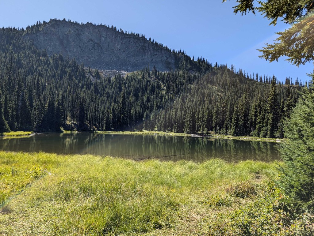
A couple of campsites are on the left of the trail right as you reach the lake, a great place to set up for a quiet night.
 Trailhead


