

The abundance of stellar destinations branching out from the Tucquala Meadows Trailhead might be one reason that Lake Michael often gets overlooked. And while Lake Michael (and Lake Terence) may not pack the same dramatic punch as some of the Alpine Lakes Wilderness favorites, they make for a scenic overnight or side quest.
Look for signs for Cathedral Trail 1345, and just past the meadow, you’ll take the bridge over Cle Elum River. Here, you start switchbacking into the forest and the Alpine Lake Wilderness for about 2 miles. When you reach the intersection with Trail Creek Trail 1332, breathe a sign of relief, as the grade will be less brutal from here on out. While most foot traffic will be heading right toward Cathedral Pass and the Pacific Crest Trail you will head south (left).
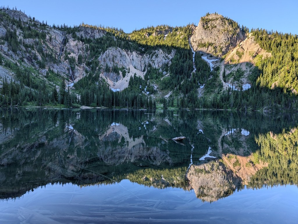
You’ll travel the next few miles, descending slightly through a high valley alongside Trail Creek. And right before the trail drops down to meet the far end of the Waptus Lake Trail, you’ll peel off onto the Lake Michael Trail 1336 and climb a steep ridge another 1,000 feet and 1.5 miles. As you begin to traverse the hillside and cross Goat Creek, you’ll see the spur trail 1336.1 up to Moonshine Lake basin. Your destination will be another two miles, on a rollercoaster down and up again to Lake Michael, tucked beneath the drama of the Goat Mountain Ridge headwall.
There are a few camps at Lake Michael, including a horse camp. (This trail is intended for hikers and equestrians both, so go ready to share the trail and yield to them when necessary.) It makes a great camp if you want to spend the next day relaxing at the lake or, pushing up a half mile to the eastern ridge on the Lake Terence Trail for stunning views of the area and continuing on down to Lake Terence, tucked under Davis Peak.
WTA Pro Tip: These smaller alpine lakes have a few, but not many, established camps. It’s a delicate area that supports plenty of wildlife, so if you plan to backpack here, be sure to leave nothing behind but your footprints.


