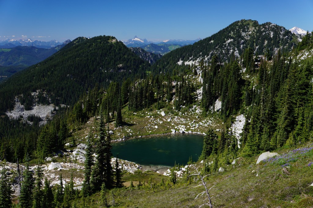
Mac Peak https://adminonly.wta.org/go-hiking/hikes/mac-peak https://adminonly.wta.org/site_images/hikes/mac-peak.jpeg/@@download/image/Mac Peak.jpeg Mac Peak Central Cascades > Stevens Pass - West 47.6515, -121.1908 Map & Directions Highest Point 6,859 feet Tarn near the top of Mac Peak. Photo by mbravenboer. Full-size image Add Hike to My Backpack Saved to My Backpack Continue reading Rating 0.00 out of 5 (0 votes) Log in to rate 7 trip reports for this trail Write a trip report Hiking Mac Peak Mac Peak Map & Directions Trailhead Co-ordinates: 47.6515, -121.1908 Open in Google Maps Before You Go See weather forecast WTA Pro Tip: Save a copy of our directions before you leave! App-based driving directions aren't always accurate and data connections may be unreliable as you drive to the trailhead. More Hike Details Trailhead Central Cascades > Stevens Pass - West News Backpackers, here's the deal for the Chelan Lakeshore trail in 2026 April 28, 2026 Learn How to Hike in Bear Country You can improve or add to this guidebook entry! Update page


 Trailhead