Length
 Elevation Gain
 Highest Point

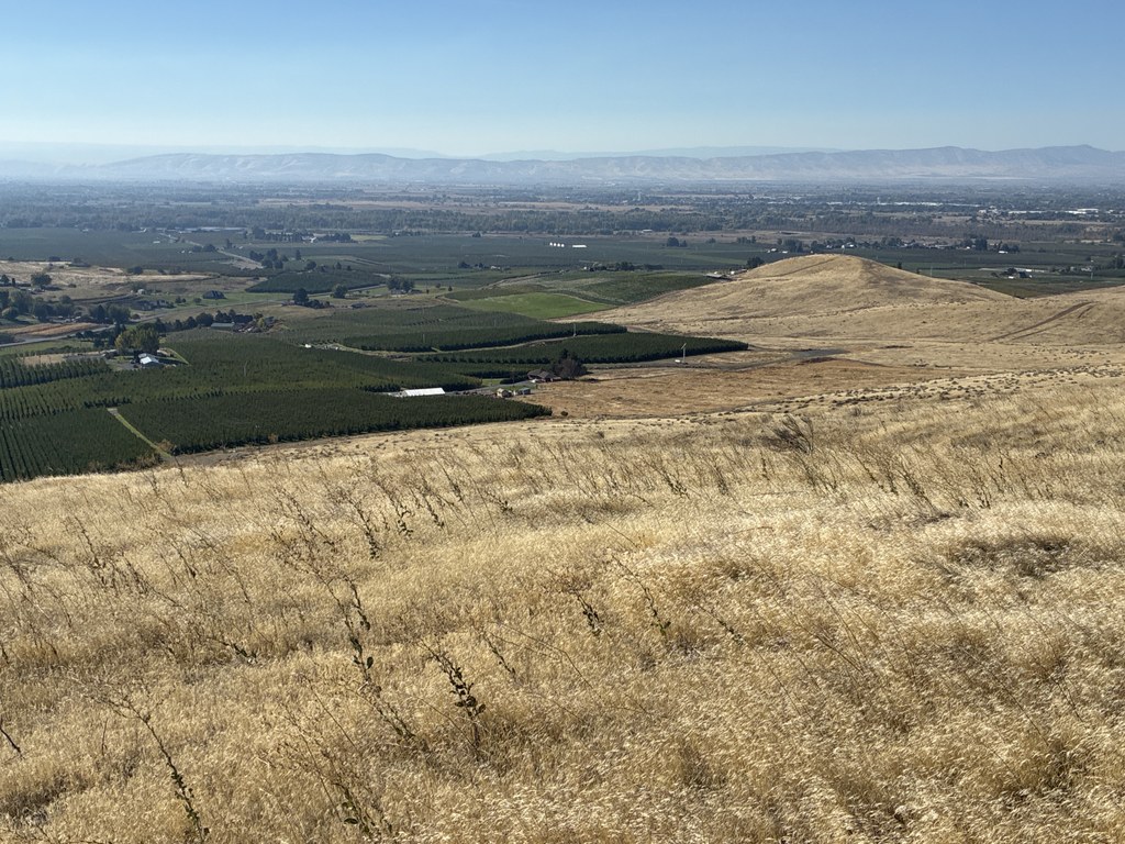
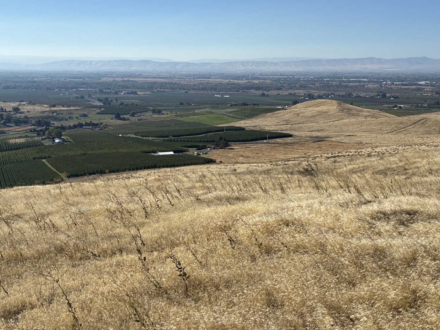


A group of outdoor enthusiasts formed Cowiche Canyon Conservancy (CCC) in the early 1980s. The group manages several parcels of grasslands, sage, flowering meadows, oak woodlands, and basalt cliffs in Central Washington. One of these parcels, the Konnowac Ridge Recreation Area southeast of Yakima, provides about 20 miles of interconnected trails for hiking and mountain biking. The recreation area includes land owned by CCC, the Bureau of Land Management, and private citizens. Trails are well-marked with signs set in baskets of rock, with trail names corresponding to a map you can find online and at the trailhead.
Pass through the gate at the trailhead and take a look at the map on the large kiosk. If you didn’t download a copy before you came, take a photo of the map to refer to along the way.
Walk along the gravel Access Road, which climbs gradually, and in about a third of a mile you’ll reach a junction with the single-track “Peanut Butter” trail. There you’ll also see another dirt road heading straight up the hill, but instead, keep left on the Access Road, which gives you a more reasonable grade. It winds gently up the hillside, providing wide vistas of the Yakima Valley’s orchards and hops fields, with Mount Adams in the distance.
Continue along the Access Road, crossing a few other narrow trails, until you reach a major junction about 1.7 miles from the trailhead. Turn left onto the Two Trees Trail, a single-track trail that descends gradually along the south side of the ridge. You’ll see mostly cheatgrass and a few shrubs, but keep your eyes open for the eponymous two trees and ponder how they manage to survive in this arid land.
There’s one unmarked intersection where you’ll stay right to keep on the Two Trees Trail (the other one cuts back to the Access Road). You’ll then pass a signed intersection with the Iron Fist Trail, after which you’ll reach a junction with Alter Native. Turn right onto Alter Native, which winds through a drainage (and past another hardy, lonely little tree) and continue back to the trailhead.
Dogs are welcome on Konnowac Ridge trails if they are under voice control or leashed. Dogs must stay on the trails, and of course you need to pack out their poop.
 Trailhead