Trails for everyone, forever

Home Go Hiking Hiking Guide Konnowac Pass Recreation Area

Konnowac Pass Recreation Area

Central Washington > Yakima
46.5059, -120.3640 Map & Directions
Length
20.0 miles of trails
Highest Point
1,800 feet
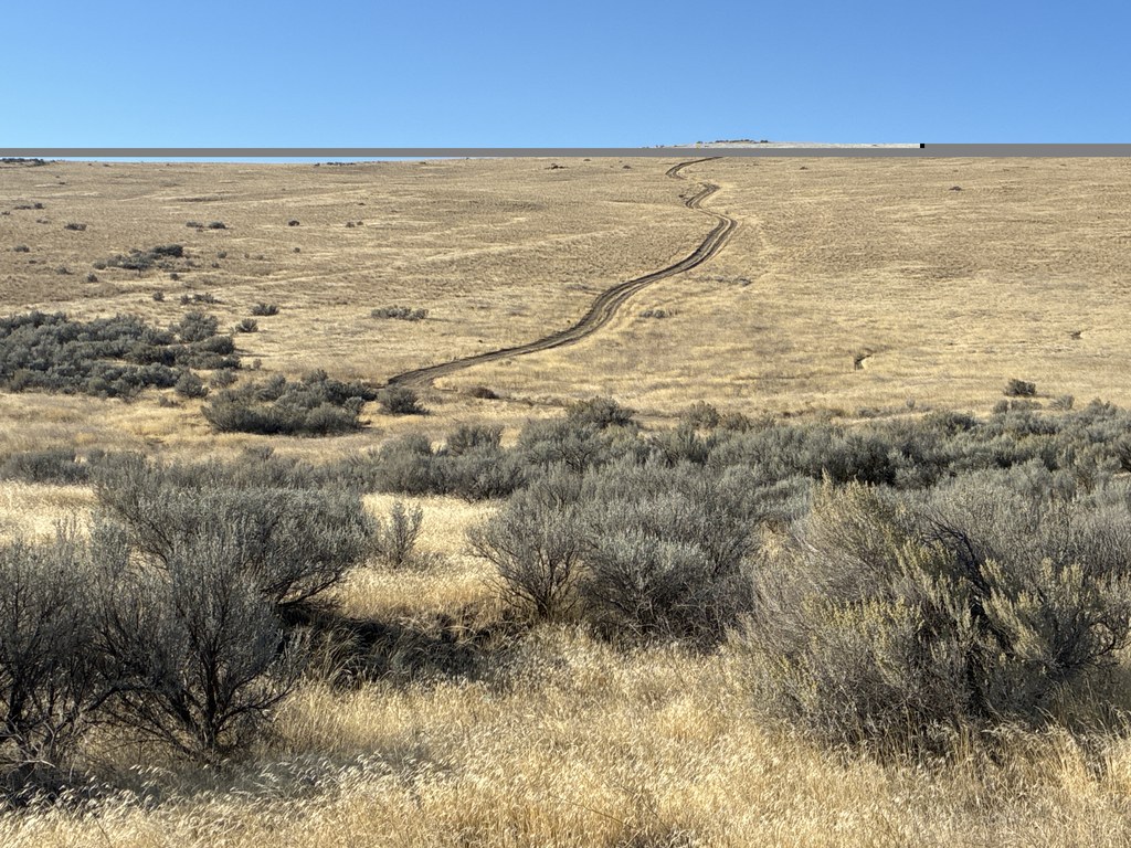
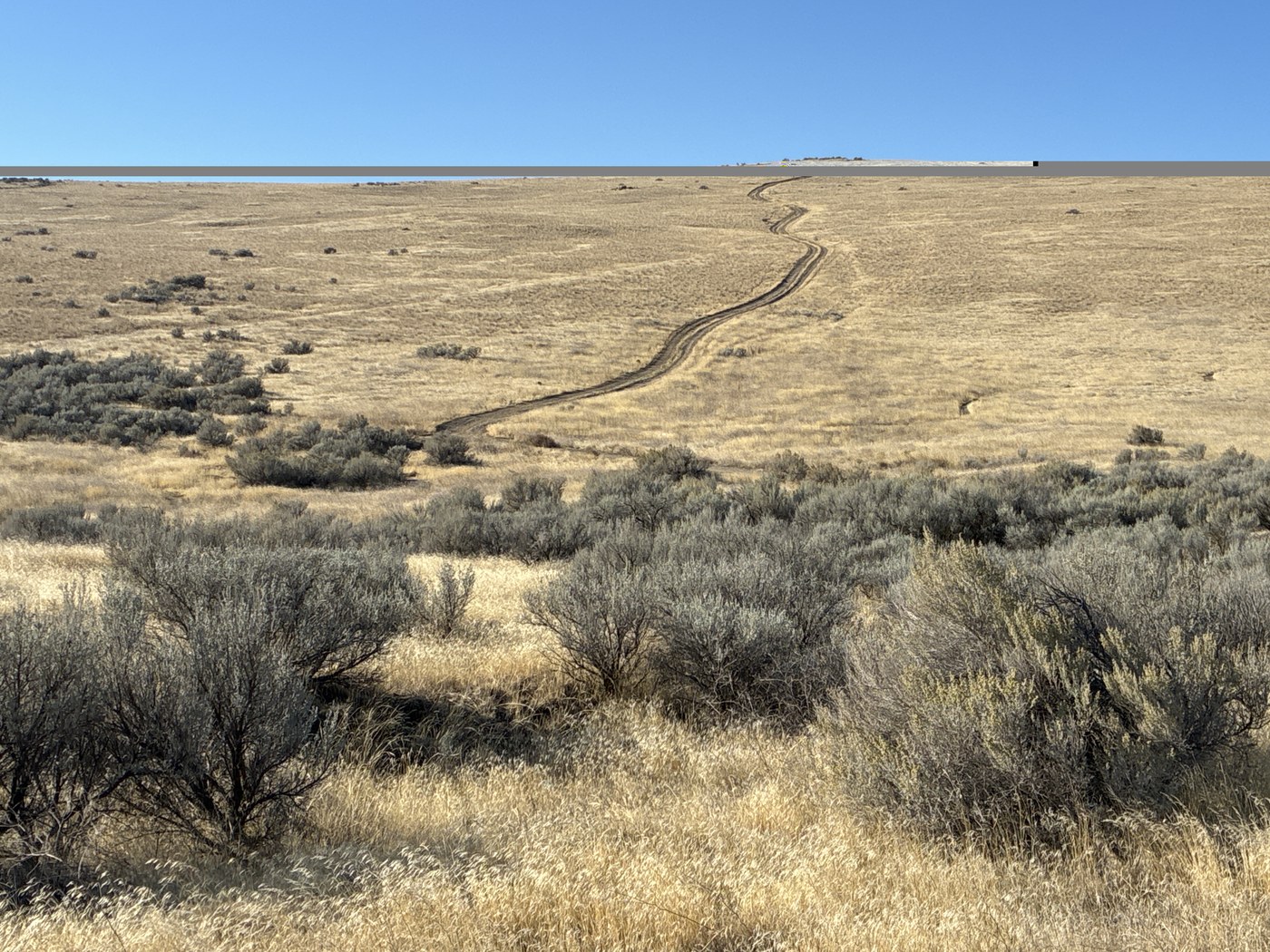
Konnowac Pass Recreation Area offers a network of hiking and biking trails. Photo by Mary Hartman. Full-size image
  • Dogs allowed on leash
  • Good for kids
  • Mountain views
  • Ridges/passes
  • Wildflowers/Meadows

Parking Pass/Entry Fee

None

Enjoy rambling or peddling on a 20-mile network of trails with sweeping views of the Yakima Valley. Continue reading

Rating
4.00 out of 5

Hiking Konnowac Pass Recreation Area

A group of outdoor enthusiasts formed Cowiche Canyon Conservancy (CCC) in the early 1980s. The group manages several parcels of grasslands, sage, flowering meadows, oak woodlands and basalt cliffs in Central Washington.

One of these parcels, the Konnowac Pass Recreation Area southeast of Yakima, provides about 20 miles of interconnected trails for hiking and mountain biking. The recreation area includes land owned by CCC, the Bureau of Land Management, and private citizens. Trails are well-marked with signs set in baskets of rock, with trail names corresponding to a map you can find online and at the trailhead.

There are many possible routes you can take; one option is a fun 4-mile loop with about 450 feet of elevation gain over Konnowac Ridge. 

Dogs are welcome on Konnowac Ridge trails if they are under voice control or leashed. Dogs must stay on the trails, and of course you need to pack out their poop.

Toilet Information

  • No toilet at trailhead

More information about toilets

Hike Description Written by
Mary Hartman, WTA Correspondent

Konnowac Pass Recreation Area

Map & Directions

Trailhead
Co-ordinates: 46.5059, -120.3640 Open in Google Maps

Before You Go

See weather forecast

Parking Pass/Entry Fee

None

WTA Pro Tip: Save a copy of our directions before you leave! App-based driving directions aren't always accurate and data connections may be unreliable as you drive to the trailhead.

Getting There

From I-82 southeast of Yakima, take exit 50 for WA-22 toward Toppenish/Buena. Turn north on Buena Road, drive 0.6 mile, and turn left on Yakima Valley Highway. Go 4 miles and turn right onto Konnowac Pass Road. Drive 3.3 miles, just past Nightingale Road, and turn into the parking area on the left (directly across from a Smokey the Bear fire danger sign). There’s space for 8 to 10 cars.

More Hike Details

Trailhead

Central Washington > Yakima

Cowiche Canyon Conservancy

Guidebooks & Maps

https://www.cowichecanyon.org/our-lands-trails/

https://www.cowichecanyon.org/wp-content/uploads/2025/08/KonnowacWebsiteBubblesMapSmall-1.pdf

You can improve or add to this guidebook entry!

Konnowac Pass Recreation Area

2 Trip Reports

Hiked here recently?

Submit a trip report!
 
Loading trip reports...
Trip Reports