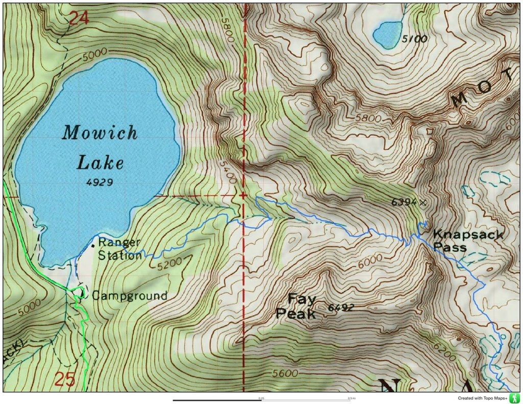

Knapsack Pass follows a no-longer-maintained hiking trail. It now requires GPS or map and compass skills to reach the pass, located near Mother Mountain.
The trail starts at the end of Mowich Lake Trail, near the ranger cabin. As you navigate, you'll travel through forest and then open rock slabs and scree with extensive views of the valley. Watch for a subtle fork at a little more than a half mile from the lake, and stay left for Knapsack Pass.
These are unmaintained trails and proper navigation skills and resources are required. Weather changes quickly and be prepared for whiteout conditions.
Knapsack Pass

-
 Length
- 2.9 miles, roundtrip
-
 Elevation Gain
- 1,300 feet
-
 Highest Point
- 6,200 feet
The Fairfax Bridge (3 miles south of Carbonado) is closed to all vehicle and pedestrian traffic until further notice due to safety concerns. The bridge closure renders this hike inaccessible.
Knapsack Pass follows a no-longer-maintained hiking trail. It now requires GPS or map and compass skills to reach the pass, located near Mother Mountain.
Continue reading
Hiking Knapsack Pass
Knapsack Pass
Map & Directions
 Trailhead
Before You Go
The Fairfax Bridge (3 miles south of Carbonado) is closed to all vehicle and pedestrian traffic until further notice due to safety concerns. The bridge closure renders this hike inaccessible.
Parking Pass/Entry Fee
National Park PassWTA Pro Tip: Save a copy of our directions before you leave! App-based driving directions aren't always accurate and data connections may be unreliable as you drive to the trailhead.
Getting There
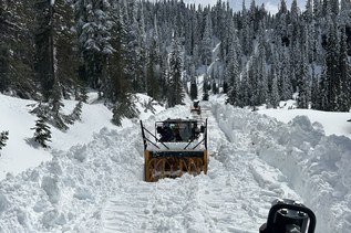
Drive 13 miles east on State Route 410 from Puyallup to the town of Buckley. Turn south onto Hwy 165 and continue driving through Carbonado. Cross the Carbon River Gorge bridge and make a right onto Mowich Lake Road. Note that this road is very potholed and bumpy -- you may need a four-wheel drive car to reach the parking lot! Follow the road 17 miles to its end, where you will find the trailhead at the far end of the Mowich Lake Campground.