Trails for everyone, forever

Home Go Hiking Hiking Guide Harstine Island State Park

Harstine Island State Park

Olympic Peninsula > Hood Canal
47.2624, -122.8707 Map & Directions
Length
2.0 miles of trails
Elevation Gain
160 feet
Highest Point
180 feet
Photo by sasha627cz. Full-size image
  • Coast
  • Dogs allowed on leash
  • Good for kids
  • Old growth
  • Rivers

Parking Pass/Entry Fee

Discover Pass
Saved to My Backpack

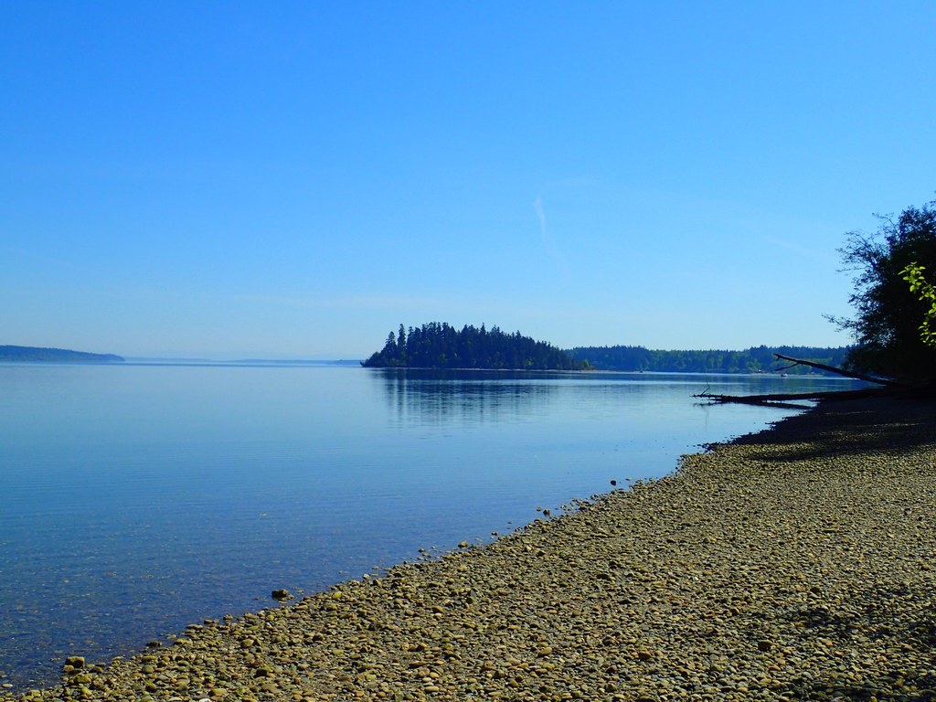
Accessible only by bridge or by boat, Harstine Island State Park is one of a few state parks available to explore on Harstine Island. Continue reading

Rating
3.50 out of 5

(6 votes) Log in to rate

Hiking Harstine Island State Park

Toilet Information

  • Toilet at trailhead
  • Accessible toilet

More information about toilets

Harstine Island State Park

Map & Directions

Trailhead
Co-ordinates: 47.2624, -122.8707 Open in Google Maps

Before You Go

See weather forecast

Parking Pass/Entry Fee

Discover Pass

WTA Pro Tip: Save a copy of our directions before you leave! App-based driving directions aren't always accurate and data connections may be unreliable as you drive to the trailhead.

More Hike Details

Trailhead

Olympic Peninsula > Hood Canal

Washington State Parks

Guidebooks & Maps

Day Hiking: Olympic Peninsula (Romano - Mountaineers Books)

USGS Longbranch

You can improve or add to this guidebook entry!

Harstine Island State Park

16 Trip Reports

Hiked here recently?

Submit a trip report!
 
Loading trip reports...
Trip Reports