

Begin your hike by climbing old Forest Road 7807-29 to what was once the trailhead at Hamilton Buttes, but now only sees traffic from dirt bikers and hikers. The trail climbs gently through mixed sun and shade for 0.8 miles before reaching a junction with the longer southern approach to Hamilton Buttes, but stay straight avoiding the hard right turn back down the ridge.
After 0.2 more miles of walking the trail begins to narrow and the tread begins to loosen in your final push towards the summit. Be mindful of those of dirt bikes as you come around tight corners on your ascent.
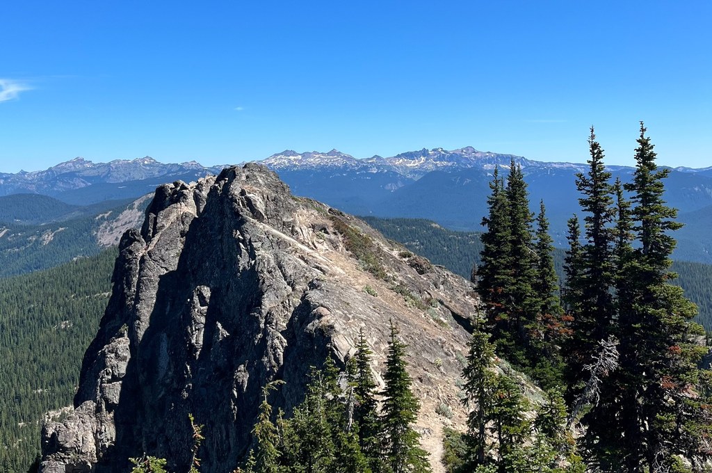
Quickly you will leave behind the last of the dirt trail and step out onto the rocks at the false summit. Feel free to stop here, but if the jagged edges of Hamilton Buttes' true summit call to you then it's a straightforward walk over and easy scramble to the true summit located just to the east. There is a bit of exposure on the way to the summit, but only one or two steps that could be thought of as Class 2 scrambling as opposed to just a walk-up.
From either summit you will be rewarded with views in every direction with Rainier to the north, St. Helens to the west, Adams and Hood (on a clear day) to the south and Goat Rocks to the east. Sign your name in the summit register stashed just below the true summit and take in some of the best that the Cascades have to offer.
 Trailhead


