Trails for everyone, forever

Home Go Hiking Hiking Guide Elk Trap Springs Trail

Elk Trap Springs Trail

Central Cascades > Blewett Pass
47.3086, -120.5526 Map & Directions
Length
1.5 miles, one-way
Elevation Gain
750 feet
Highest Point
5,856 feet
Calculated Difficulty About Calculated Difficulty
Easy/Moderate
Navigating on the Elk Trap Springs Trail. Photo by nwroth. Full-size image
  • Dogs allowed on leash
  • Fall foliage
  • Mountain views
  • Ridges/passes
  • Wildflowers/Meadows
  • Wildlife

Parking Pass/Entry Fee

None
Saved to My Backpack

A short, rugged trail through meadows and a burn area that leads to great views of the Wenatchee mountains. This is a great option to see some fall color near Blewett Pass and create a loop link up with nearby other trails. Continue reading

Rating
0.00 out of 5

(0 votes) Log in to rate

Hiking Elk Trap Springs Trail

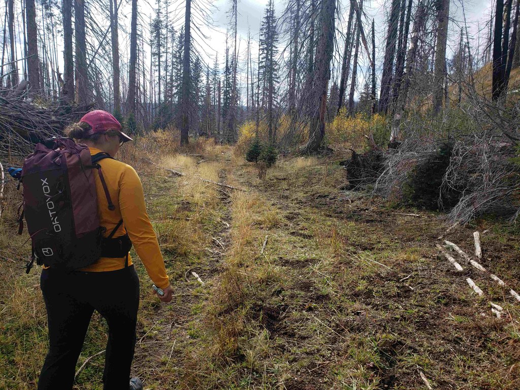
This short 1.5-mile trail descends from the Table Mountain trail to the Naneum Meadows area (around 750 feet of descent). Blowdowns and some quick-growing grass have made this less-traveled trail a little harder to follow, but the terrain is open, so as long as you have a map and keep your eyes peeled, you should be able to spot the trail again if you lose it.

The views of the Wenatchee mountains as the trail runs parallel to Naneum Rim trail are particularly lovely, with lots of larches and interesting rocky sections. Elk and deer sign are common on this trail, so keep your eyes open for wildlife, particularly in the fall!

And keep your eye out for the namesake spring, marked by a green metal tank connected to a pipe coming out of the ground. (We don't recommend drinking any water that may be in there, though.)

At Naneum Meadows, this trail meets with the Naneum Rim, Naneum Creek and Grass Camp trails. If you came from the Table Mountain Trail and Ken Wilcox Horse Camp, you can take the Naneum Rim trail back towards the Table Mountain trail for a little lollipop outing.

You can also the Naneum Creek trail north back towards the horse camp, or take Naneum Creek trail south towards Forest Road 3530 or until you intersect with Howard Creek Trail and then Grass Camp trail for a bigger loop. 

WTA Pro Tip: Bring a map to consult since not all junctions are marked, and there are a number of loop opportunities in this area.

Toilet Information

  • No toilet at trailhead

More information about toilets

Hike Description Written by
phloxchild, WTA Community

Elk Trap Springs Trail

Map & Directions

Trailhead
Co-ordinates: 47.3086, -120.5526 Open in Google Maps

Before You Go

See weather forecast

Parking Pass/Entry Fee

None

WTA Pro Tip: Save a copy of our directions before you leave! App-based driving directions aren't always accurate and data connections may be unreliable as you drive to the trailhead.

Getting There

Elk Trap Springs doesn't have a trailhead of its own; it connects to the Table Mountain (#1209) and Naneum Rim (#1234) trails, crossing FR 9712 halfway through its length. However, the road crossing has no facilities or parking areas.

More Hike Details

Trailhead

Central Cascades > Blewett Pass

Elk Trap Springs Trail (#1319)

Okanogan-Wenatchee National Forest, Cle Elum Ranger District

You can improve or add to this guidebook entry!

Elk Trap Springs Trail

1 Trip Report

Hiked here recently?

Submit a trip report!
 
Loading trip reports...
Trip Reports