
A quick hike up to a summit outside of Wenatchee with views of the Columbia River, Horse Lake Mountain, Mission Ridge, and the Enchantments.
Chopper Peak

-
 Length
- 3.0 miles, roundtrip
-
 Elevation Gain
- 1,440 feet
-
 Highest Point
- 2,400 feet
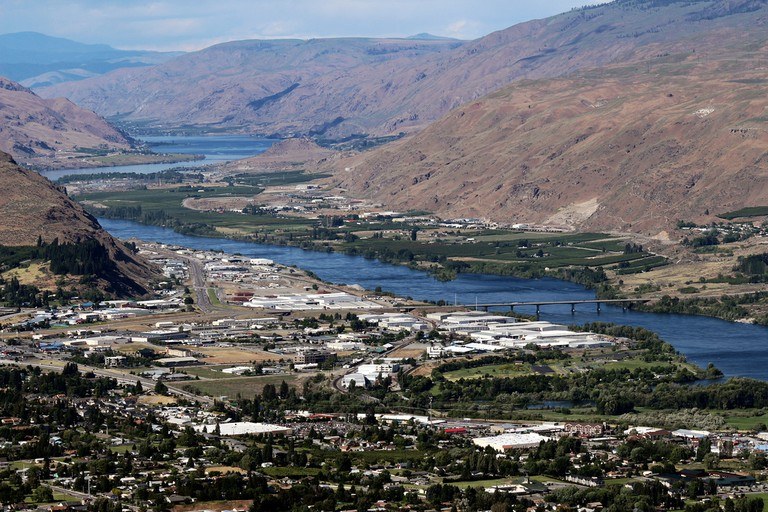
A quick hike up to a summit outside of Wenatchee with views of the Columbia River, Horse Lake Mountain, Mission Ridge, and the Enchantments.
Continue reading
Hiking Chopper Peak
Chopper Peak
Map & Directions
 Trailhead


