Trails for everyone, forever

Home Go Hiking Hiking Guide Tom Dick & Harry Lakes

Note: Recent flooding has closed trails and roads, including major highways and forest roads. Respect closures, check forecasts, go with a backup plan, and stay safe out there. Thanks for your trip reports!


Tom Dick & Harry Lakes

Central Cascades > Stevens Pass - West
47.8376, -121.5050 Map & Directions

12.12.25 Trailhead inaccessible - road closed due to flooding and water over Index-Galena Road

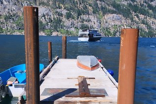
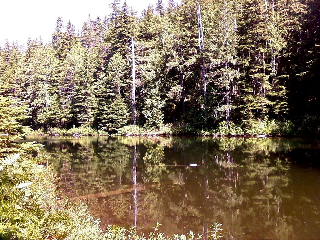
Hiking Tom Dick & Harry Lakes

Tom Dick & Harry Lakes

Map & Directions

Trailhead
Co-ordinates: 47.8376, -121.5050 Open in Google Maps

Before You Go

12.12.25 Trailhead inaccessible - road closed due to flooding and water over Index-Galena Road

See weather forecast

WTA Pro Tip: Save a copy of our directions before you leave! App-based driving directions aren't always accurate and data connections may be unreliable as you drive to the trailhead.

More Hike Details

Trailhead

Central Cascades > Stevens Pass - West

Bitter Creek Logging Road (##)

You can improve or add to this guidebook entry!

Tom Dick & Harry Lakes

7 Trip Reports

Hiked here recently?

Submit a trip report!
 
Loading trip reports...
Trip Reports