
Starting from the Basalt Pass trail, you won’t be eased into your uphill climb — you’ll start steeply up the mountain right away. The trail mellows out somewhat for the middle half-mile, but that just means the start and end of the trail to the pass are practically vertical at points.
You don’t get any open views at the pass, but not to worry — that will start to change as you approach Basalt Peak.
Turn left at the pass and take the Basalt Peak trail away from the pass. (It isn’t signed, but the trail is still easy to see and follow.) It starts relatively steep but is far less of a calf-burner than Basalt Pass overall.
In a quarter-mile from the pass, the trail opens up and you’ll be able to catch some mountain views from the trail. It’s merely a taste of what’s to come. Soon, the heavy tree canopy will disappear altogether as the trail follows the ridge. You’ll head back into the forest briefly as you climb yet again, then end up back on Basalt Ridge.
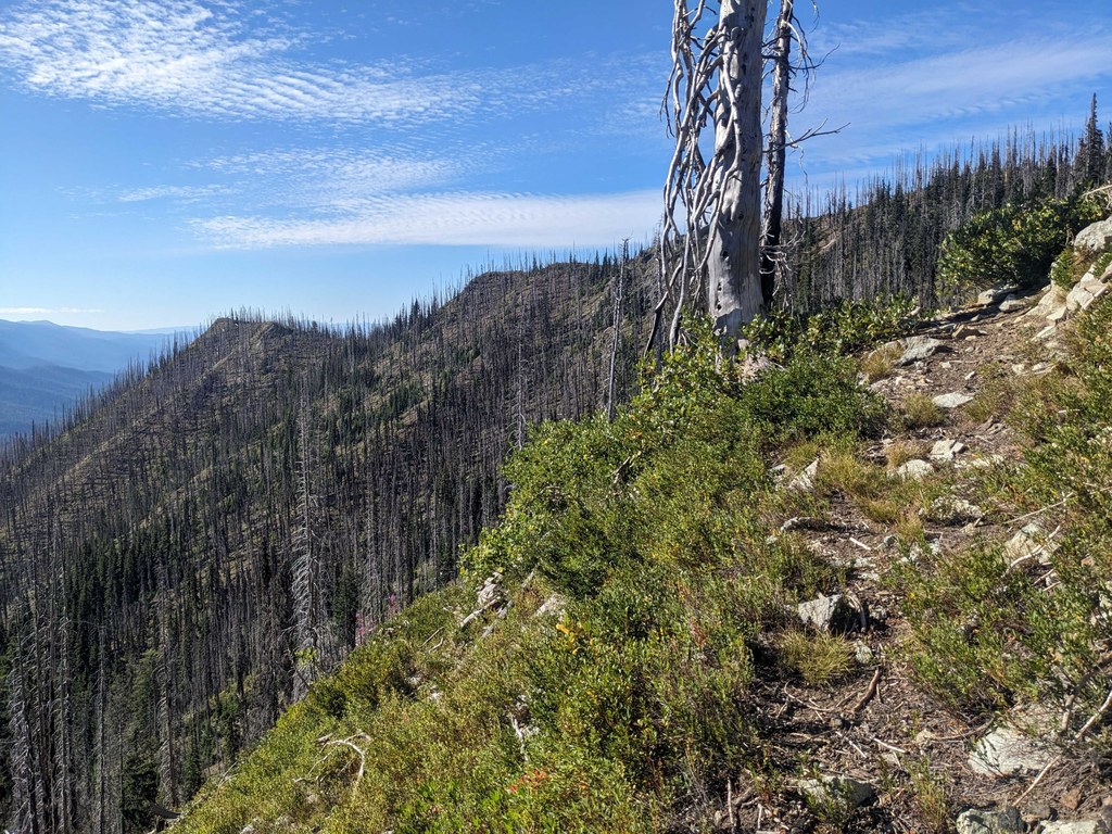
Soon, the trail opens up entirely, and you’ll be able to see the large burn area — dry charred trees abound — as well as the rest of the ridge up ahead. Past this point, you’ll want to get your sun protection on if it’s a sunny day — there won’t be any shade to be seen until you head back out on your hike.
About 0.3 miles after the trail opens up, look for a turn-off to your left — this will take you to the peak. The trail essentially disappears here in the burn damage, but heading up a little ways along this “trail” will reward you with 360-degree views of the surrounding area, including the Entiat Mountains to the south, the Henry M. Jackson Wilderness to the west and Glacier Peak Wilderness to the north.
 Trailhead