
This trail is short — just over a mile one-way — but it’s not easy. You’ll be climbing over 1,200 feet across the trail to get to Basalt Pass, but the middle third of the trail flattens out for a beat… which means you’ve got to make up that elevation gain on the other two-thirds of the trail.
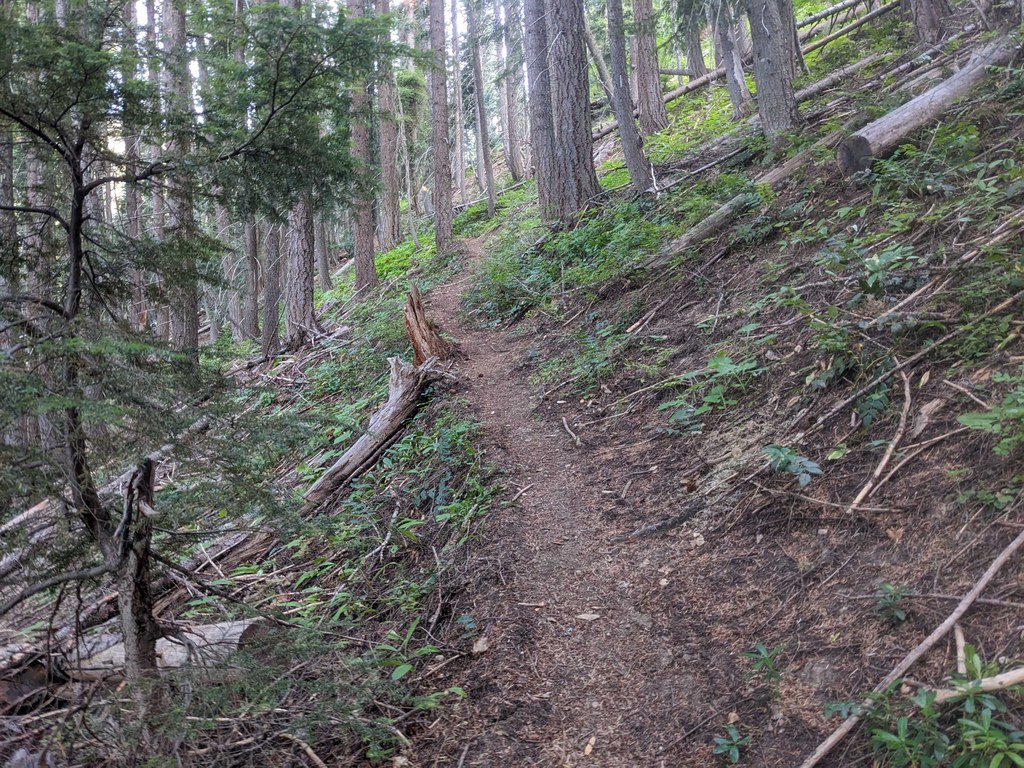
The trailhead is exposed, but you’ll very quickly head into the forest. The trail will have you start climbing right away, losing views of the valley behind you as you walk into the trees. For the first 0.4 miles, the trail is relentless in its steepness, but it levels out somewhat for the next 0.4 miles as you ride a topo line. The last quarter mile brings the calf burning back, with a final near-vertical climb to the pass. (Luckily, most of the trail is shaded, so at least you won't be roasting in the sun on a clear day as you scale the mountain.)
There are no views at the pass — it is deep in the forest still but from here, you can turn left to hike to Basalt Peak where you’ll get plenty of views. You can continue forward to the Rock Tie Trail, which will bring you to the Rock Creek trail, a great backpacking trip with a couple of campsites. Or, you can turn right to head to either Garland Peak or the Glacier Peak Wilderness — which provides access to Larch Lakes, Ice Lakes, Cow Creek Meadows, the Entiat River Trail and more.
 Trailhead