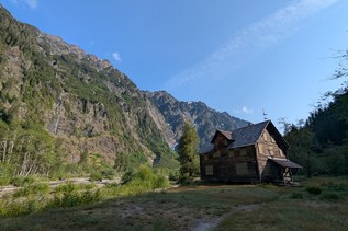
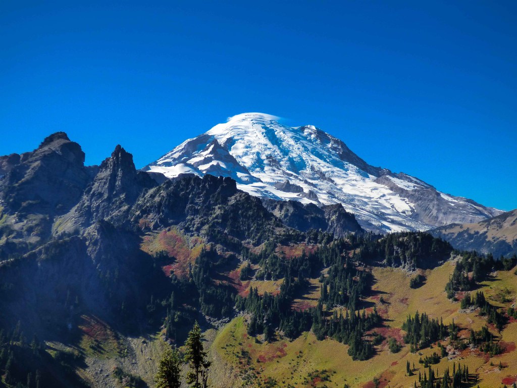
Barrier Peak

SR 123 (Cayuse Pass) is closed between the junction with SR 410 to the north and the Mount Rainier National Park boundary (near Ohanapecosh Campground) to the south for the winter season.

Hiking Barrier Peak
Barrier Peak
Map & Directions
 Trailhead
Before You Go
SR 123 (Cayuse Pass) is closed between the junction with SR 410 to the north and the Mount Rainier National Park boundary (near Ohanapecosh Campground) to the south for the winter season.
WTA Pro Tip: Save a copy of our directions before you leave! App-based driving directions aren't always accurate and data connections may be unreliable as you drive to the trailhead.