


Outdoors for All's Favorite Trails (Accessible Trails Near Seattle)
Outdoors for All, a Bellevue-based nonprofit, works to enrich the quality of life for children and adults with disabilities through outdoor recreation. Since 1979, they have been helping folks of all abilities get outside. They offer hiking, skiing, snowboarding, Nordic skiing, snowshoeing, cycling, kayaking, paddle boarding, mountain biking, rock climbing, day camps and more activities for folks of all abilities.
We are thrilled to highlight some of their favorite trails that they use for their hiking, gravel biking and day camp programs.
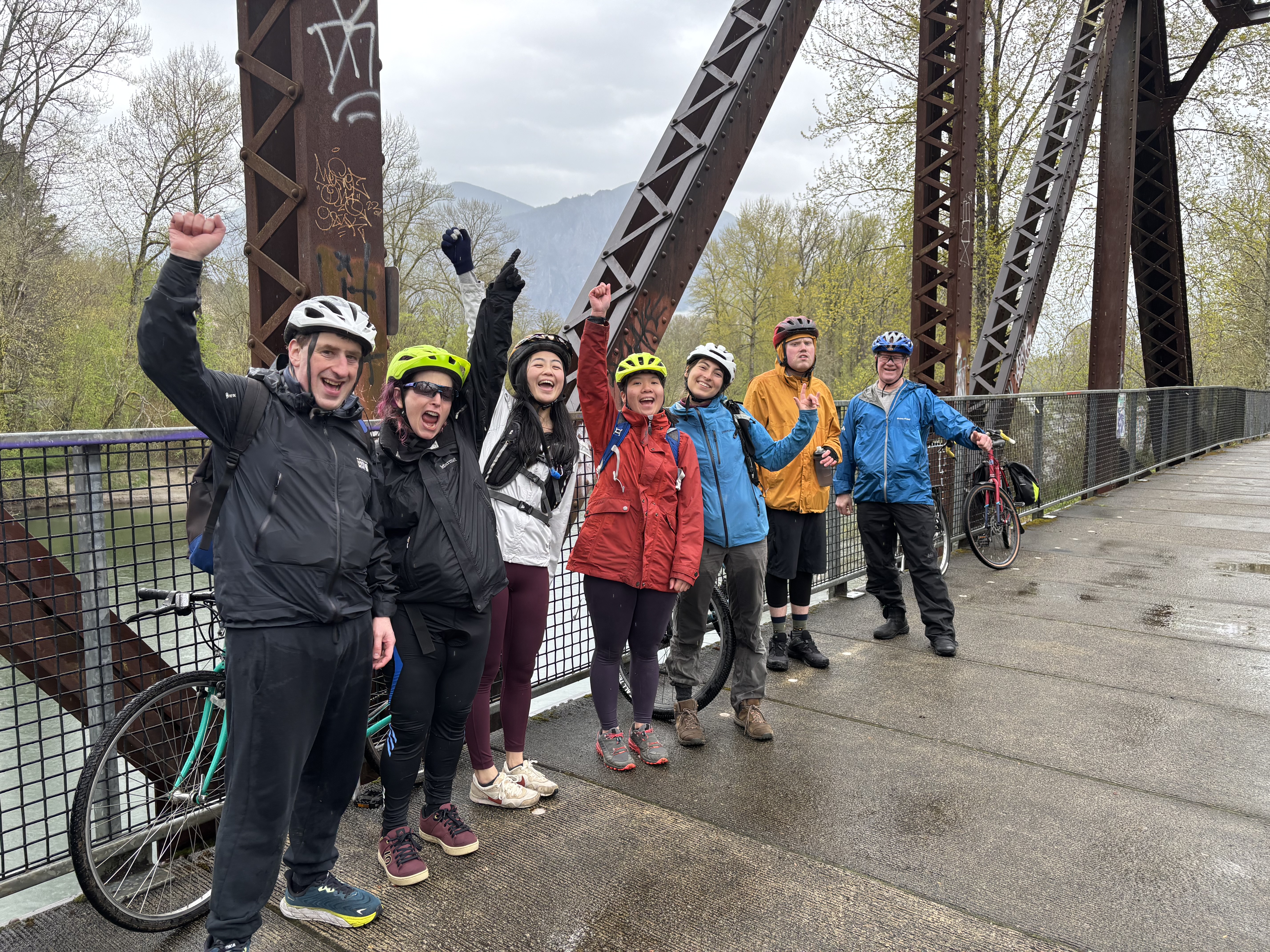 Photo courtesy of Outdoors for All.
We also want to offer tips on what information trip reporters can share to help trail users of all abilities and organizations like Outdoors for All find the right trail for them. Here are a few things you can keep an eye on and include in your trip reports:
- Parking: Are there accessible parking spots?
- Restrooms: Are they accessible?
- Grade: What kind of incline does the trail have?
- Trail type: Gravel, packed dirt, dirt, very rooty, etc.?
- Trail obstructions: Are there fallen trees or other blockages? (Reporting this can also help land managers identify issues and resolve problems more quickly.)
Find more accessible trails beyond the Seattle area. Or use our “wheelchair friendly” filter in our Hiking Guide to find the best trails for you!
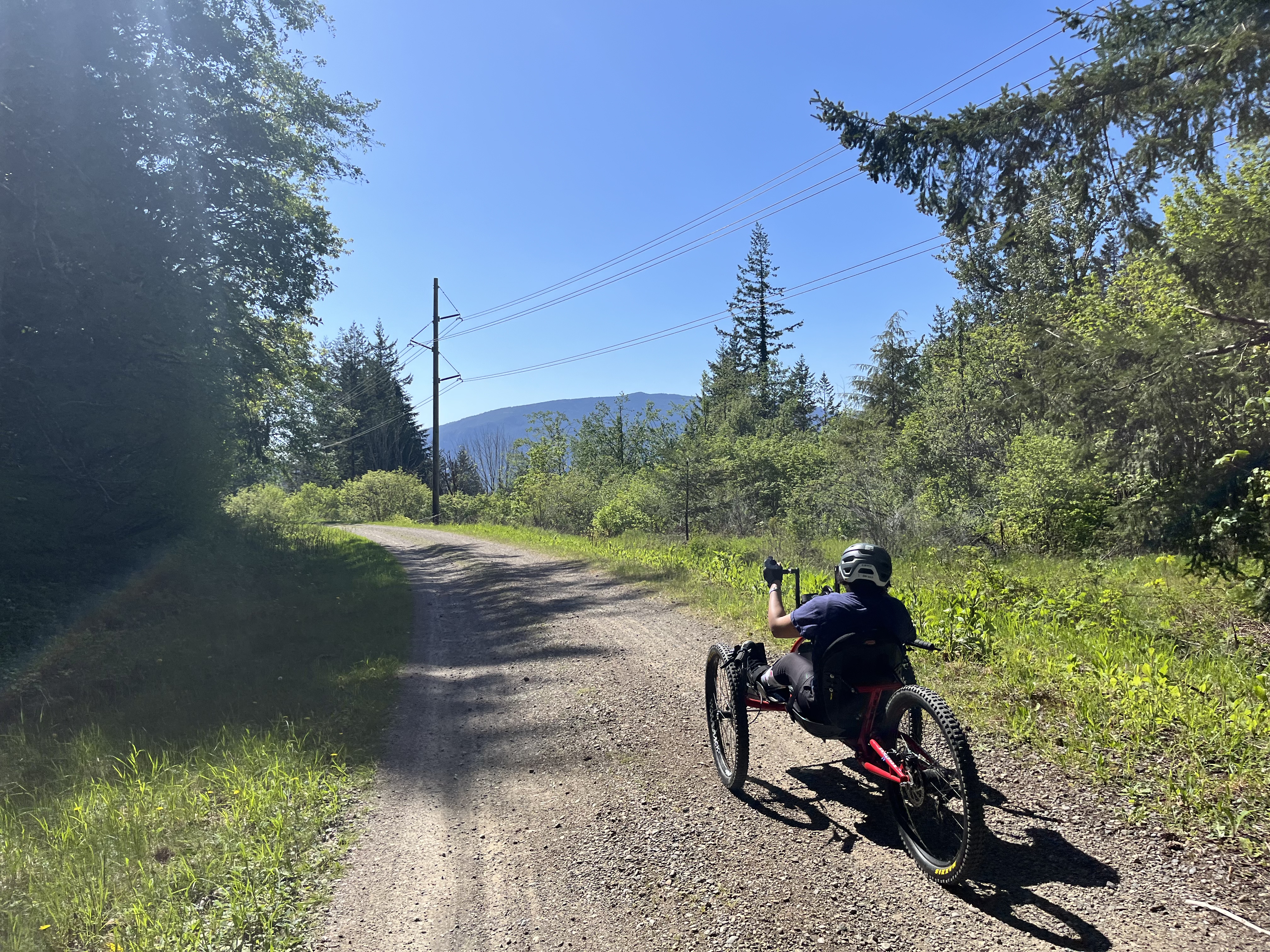 Photo courtesy of Outdoors for All.

 Length
 Elevation Gain
This trail system offers incredible views near the Middle Folk Snoqualmie area. While wheelchair users may not be able to fully access the river, there are picnic areas and interpretative signs where you can learn more about the historical area. Be aware, there is also no cell service in the area. There are two ADA accessible pit toilets at the trailhead as well as accessible parking. The path is crushed gravel with a gentle grade.
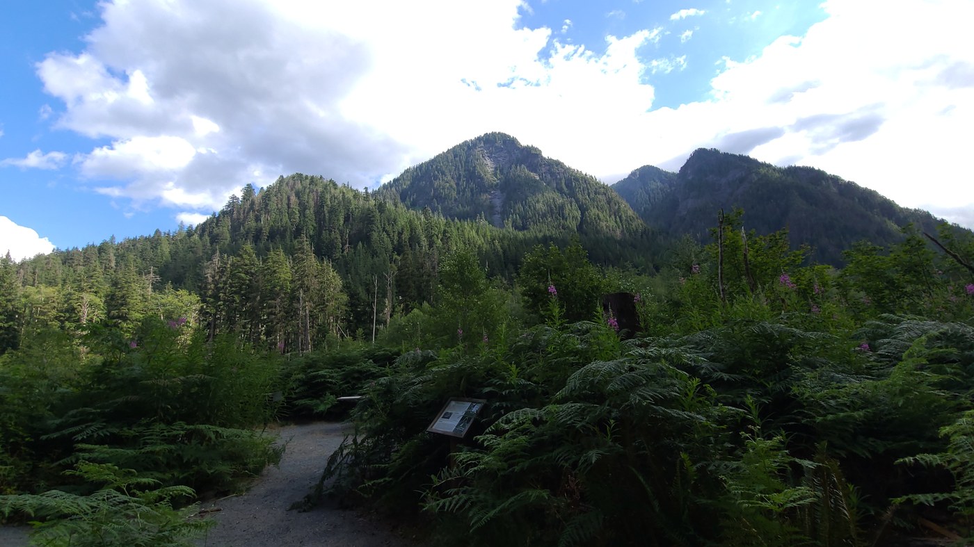
Photo by trip reporter RickyLM
Hike length: 0.5 mile, loop
Trail type: Crushed gravel
Parking: At trailhead, which is 11 miles down the Middle Fork Road.
Coordinates: 47.5462, -121.5451. Two ADA spots.
Bathroom: Two ADA-accessible pit toilets by trailhead
Other features/attractions: River, interpretive signs with history of area, picnic tables and charcoal grates
Pass needed: Northwest Forest Pass
Notes: Wheelchair users may not be able to get down to/by water depending on water level and type of chair. No cell service!

The first half mile of this trail system is wheelchair accessible, including a boardwalk over one of the park's two lakes. It’s a great spot for bird watching. The trailhead can be reached by bus using Trailhead Direct.
Accessibility information: On the trail to the lake, there's a bridge crossing with a 3-4 inch drop on the lake side. Wheelchairs with tie-down pins have snagged on this drop. The trail surface is gravel, some patches can loosen and make wheelchair accessibility more difficult in that area.
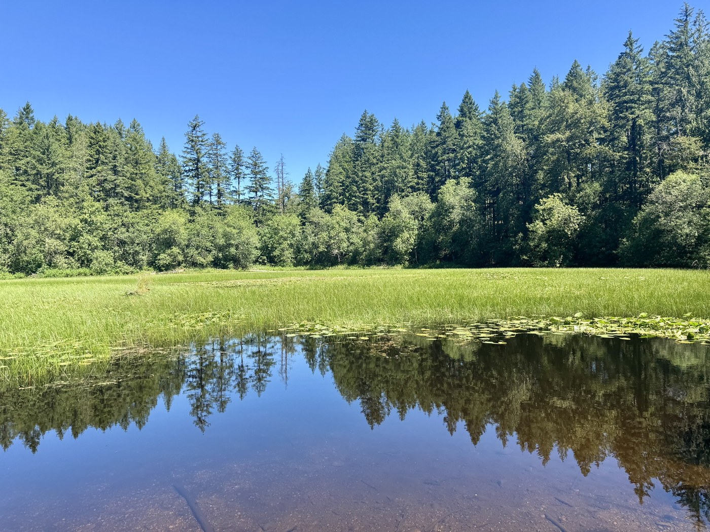
Photo by trip reporter mori
Hike length: 1.5 miles, loop
Trail type: Hard-packed gravel
Parking: 26415 SE 79th St, Issaquah, WA 98027
Bathroom: Pit Toilet
Pass needed: Discover Pass
Notes: The first half mile of the “Around the Lake” trail is designated as wheelchair accessible, including a boardwalk overlook of the lake approximately ¾ of a mile down the trail. A majority of the trail is in the gentle grade range (2-5%) but there is a steeper section (6%) at 1.2 miles when taking the trail clockwise.

Right in the heart of Seattle, you’ll find an incredible paved trail system where you can explore a beautiful variety of plants from all over the world throughout the park. Be mindful this park can get busy so visiting on a week day is a great option! Also be aware this paved trail is shared with bikers so please be mindful. You’ll find one wheelchair accessible bathroom option in the Graham visitor center.
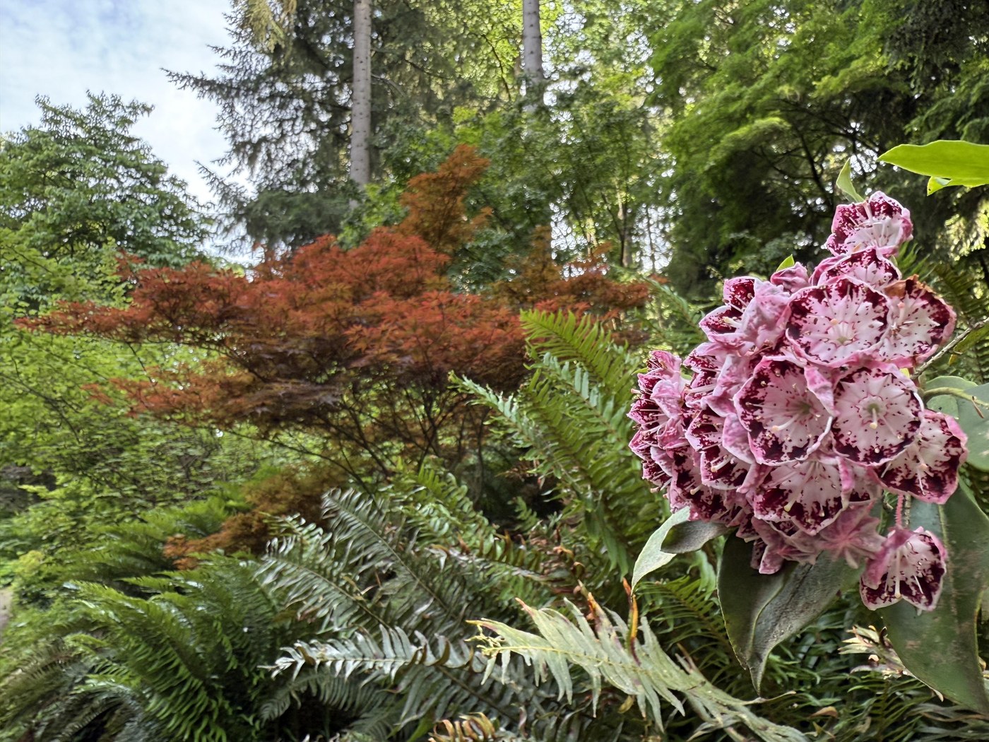 Photo by trip reporter youcandoit
Hike length: Loop Trail is 2 miles, options to add on more if you venture deeper into the arboretum. Azalea Way is good option for interior trail.
Trail type: Paved
Parking: 2300 Arboretum Dr. E, Seattle, WA 98112
Bathroom: Available in the Graham Visitors Center. There is one wheelchair accessible stall in each of the bathrooms.
Other park features/attractions: Washington Park Arboretum Playground is nearby
Materials to bring: Trail map, scavenger hunt sheets, Bird Guide
Notes: Be on the lookout for cyclists!
This multi-use trail welcomes a variety of trail users, including hikers, bikers and equestrians. Near Tolt Pipeline, which carries the city of Seattle’s drinking water, Soaring Eagle Park has about 2 miles of packed dirt trail that can be accessed by wheelchair. It’s an amazing spot to enjoy wildflowers and also provides a chance for sightings of wildlife including birds, deer, rabbits and, occasionally, bobcats and coyotes.
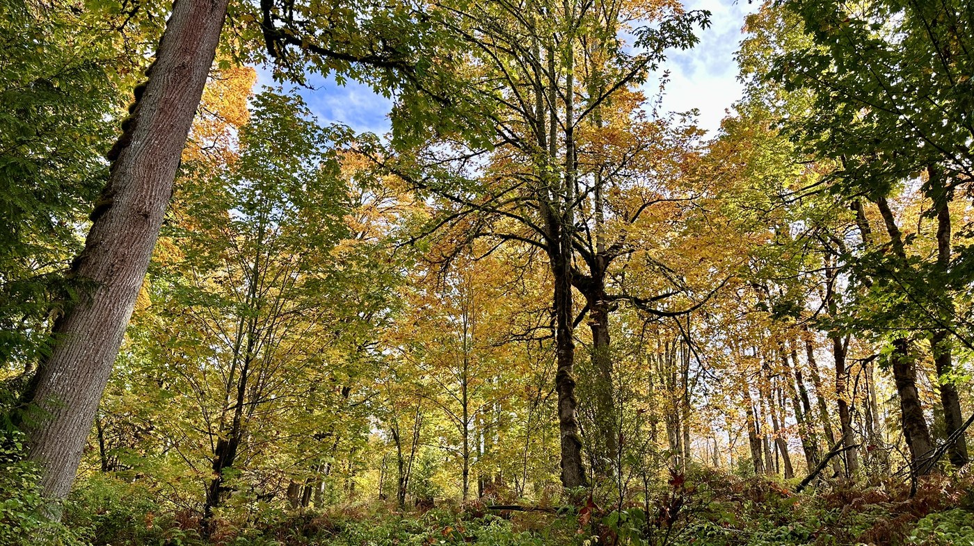 Photo by trip reporter LaurelHikes
Accessibility information: Keep in mind some points in the trail may be difficult to use for wheelchair users due to the slightly more rugged nature of this trail.
Hike length: ~2 miles, out-and-back
Trail type: Packed dirt
Parking: 26015 E Main Dr, Sammamish, WA 98075. Only one ADA designated parking space.
Other features/attractions: Lots of side trails
Notes: Wheelchair users may find the trail difficult in places
Beaver Lake offers tall trees, lovely wildflowers and the chance to see wildlife s including the occasional black bear. The park also has a playground, sports fields, picnic tables and waterfront views. The 1.2 mile trail is packed dirt and gravel with less than 50 feet of elevation gain.
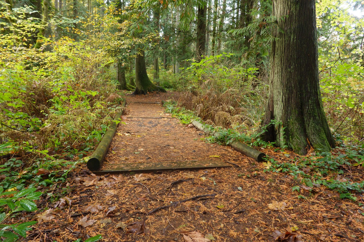
Photo by trip reporter ejan.
Hike length: 1.4-mile loop or out-and-back from playground to pavilion
Trail type: Packed gravel, dirt
Parking: 2600 244th Ave SE, Sammamish, WA 98075
Bathroom: By playground
Other features/attractions: Playground, ball fields, waterfront, picnic tables by playground
Enjoy spotting birds, frogs and wildflowers, including trillium in the spring, in this wonderful watershed preserve. The preserve has a number of trails. Tree Frog Loop (0.5 mile) and Trillium Trail (a 2-mile loop, but only the first 0.6 miles are an accessible grade) are great options for those looking for a more accessible trail. This is a multiuse trail system, so be ready to see bikers, hikers and equestrians! Pro tip: The Pound Lookout is one of the best spots for wildlife viewing.
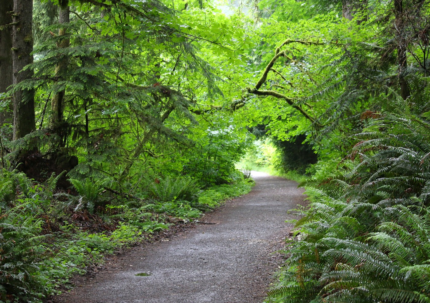
Accessibility information: The Powerline Trail and Pipeline Trail are nicer surfaces to roll on, with either small gravel or smooth hardpack. However, they have numerous water diversion bars that may be a barrier to some.
Hike length: Tree Frog Loop is 0.5 mile, Trillium Trail is a 2-mile loop, but only the first 0.6 mile are an accessible grade
Trail type: Tree Frog Loop is paved, Trillium is hardpacked gravel
Parking: 21760 NE Novelty Hill Rd, Redmond, WA 98053. Three ADA parking spots.
Bathroom: At parking lot
Other features/attractions: Pond lookout – known for wildlife viewings.
This 32-mile trail along an old railroad route explores the rolling hills of Snoqualmie Valley. The trail is near the river and, in season, you’ll find wildflowers or berries on this route, which is packed dirt and crushed gravel. Sections of the trail are wheelchair accessible. Find accessible parking at two spots in Depot Park: 26227 NE Stephens St, Duvall. The park also has accessible bathrooms. You can also park at Fall City (4261 356th Dr SE, Fall City, WA 98024) but note there are no ADA spaces.
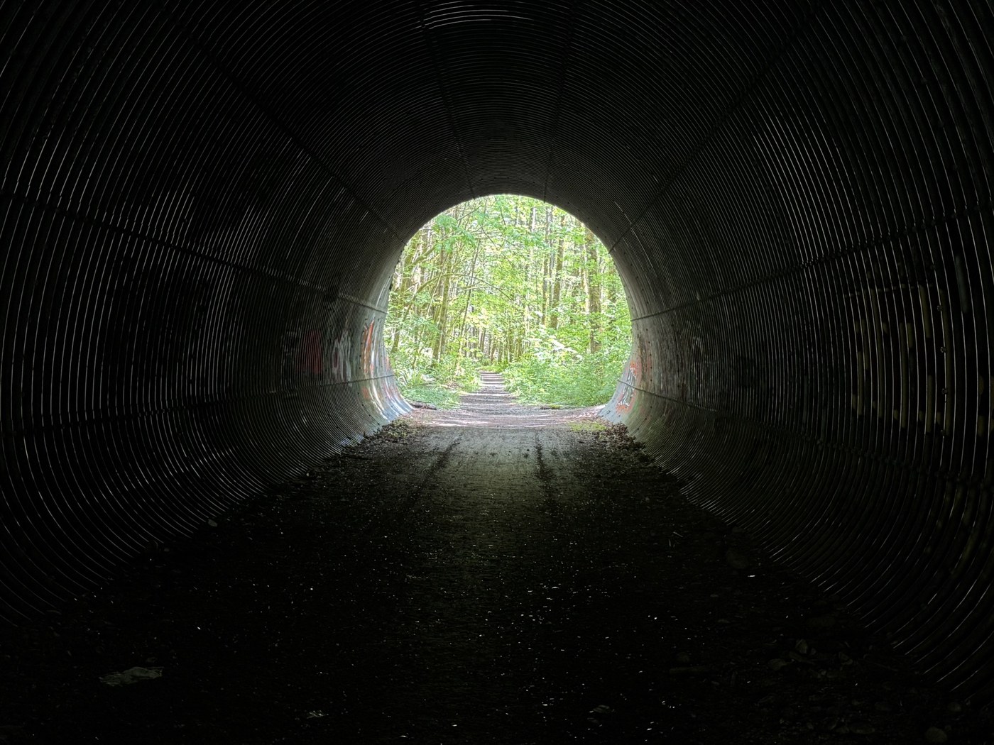
Photo by trip reporter achy9
Hike length: 32 miles total, not all of which is accessible
Trail type: Packed dirt, crushed gravel
Parking: There are multiple entry points to the Snoqualmie Valley Trail, some more accessible than others. The ones listed below are best suited to hikers using wheelchairs and other mobility devices.
- Depot Park: 26227 NE Stephens St, Duvall, WA 98019. 2 ADA parking spaces. Hike south. Fall City: 4261 356th Dr SE, Fall City, WA 98024. No designated parking spacesat all. Hike north.
- Depot Park: ADA-accessible bathrooms along path to trail Fall City: Porta-potty at trailhead, may not be ADA-accessible.