Trails for everyone, forever

Home Go Hiking Hiking Guide River Meadows Park

River Meadows Park

North Cascades > Mountain Loop Highway
48.1797, -122.0837 Map & Directions
South Fork Stillaguamish River from the trail. Photo by hikingwithlittledogs. Full-size image
  • Dogs allowed on leash
  • Good for kids
  • Rivers
  • Wildlife
Saved to My Backpack

River Meadows Park is a great place for a nice hike that isn't too far out of town, just about 15 minutes outside of Arlington. Continue reading

Rating
3.75 out of 5

(4 votes) Log in to rate

Hiking River Meadows Park

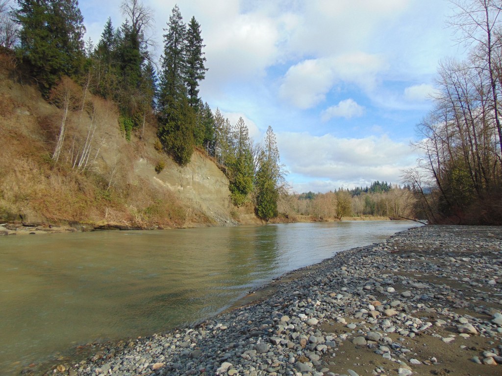
River Meadows Park is a great place for a nice hike that isn't too far out of town. It's about 15 minutes outside of Arlington. There are several miles of trails to explore — some of them are along the river and some are through the meadows and forest. There are campsites and yurts available if you want to explore for a little longer.

River Meadows Park

Map & Directions

Trailhead
Co-ordinates: 48.1797, -122.0837 Open in Google Maps

Before You Go

See weather forecast

WTA Pro Tip: Save a copy of our directions before you leave! App-based driving directions aren't always accurate and data connections may be unreliable as you drive to the trailhead.

Getting There

Driving Directions

From I-5 take SR530 east through Arlington; turn right onto Arlington Heights Road for 2 miles; bear right onto the Jordan Road. Follow Jordan Road for approximately 3 miles to park entrance on the right.

More Hike Details

Trailhead

North Cascades > Mountain Loop Highway

Snohomish County Parks

You can improve or add to this guidebook entry!

River Meadows Park

37 Trip Reports

Hiked here recently?

Submit a trip report!
 
Trip Reports