Hikes 30 Minutes from Yakima
With arboretums and botanical gardens, canyons, nature preserves and waterfront trails, Yakima has plenty to offer to hikers right in town, or just a few minutes away. Visit these trails as part of a vacation or if you live in town, explore an area that you're less familiar with.
Try one of our suggestions below or share your local favorite in a trip report. Want more? Search for other hikes nearby using our Hiking Guide; just apply the regional filters for Central Washington and Yakima.
Is it really a 30-minute drive? Your starting point and traffic may make these 5 minutes or 40 minutes away. And if you're taking a bus, it may take quite a bit longer to reach the trailhead. (Be sure to double-check routes and schedules.)
Yakima Area Arboretum and BOtanical Garden
Location: Central Washington -- Yakima
Length: varies
Elevation gain: varies
Public transportation: yes

Photo by Bob and Barb.
Yakima Area Arboretum and Botanical Garden sits just outside of Yakima, with bountiful and diverse plant life for visitors to discover. There are wetlands and ponds around the arboretum, and visitors can improve their plant-identifying skills as many trees are labeled. Fall colors and cherry blossoms appear at appropriate times of the year, resulting in a new hike in every season.
> Plan your trip to Yakima Area Arboretum and Botanical Garden using WTA's Hiking Guide
Selah Cliffs Natural Area Preserve
Location: Central Washington -- Yakima
Length: 2.5 miles, roundtrip
Elevation gain: 0 feet
Public transportation: no

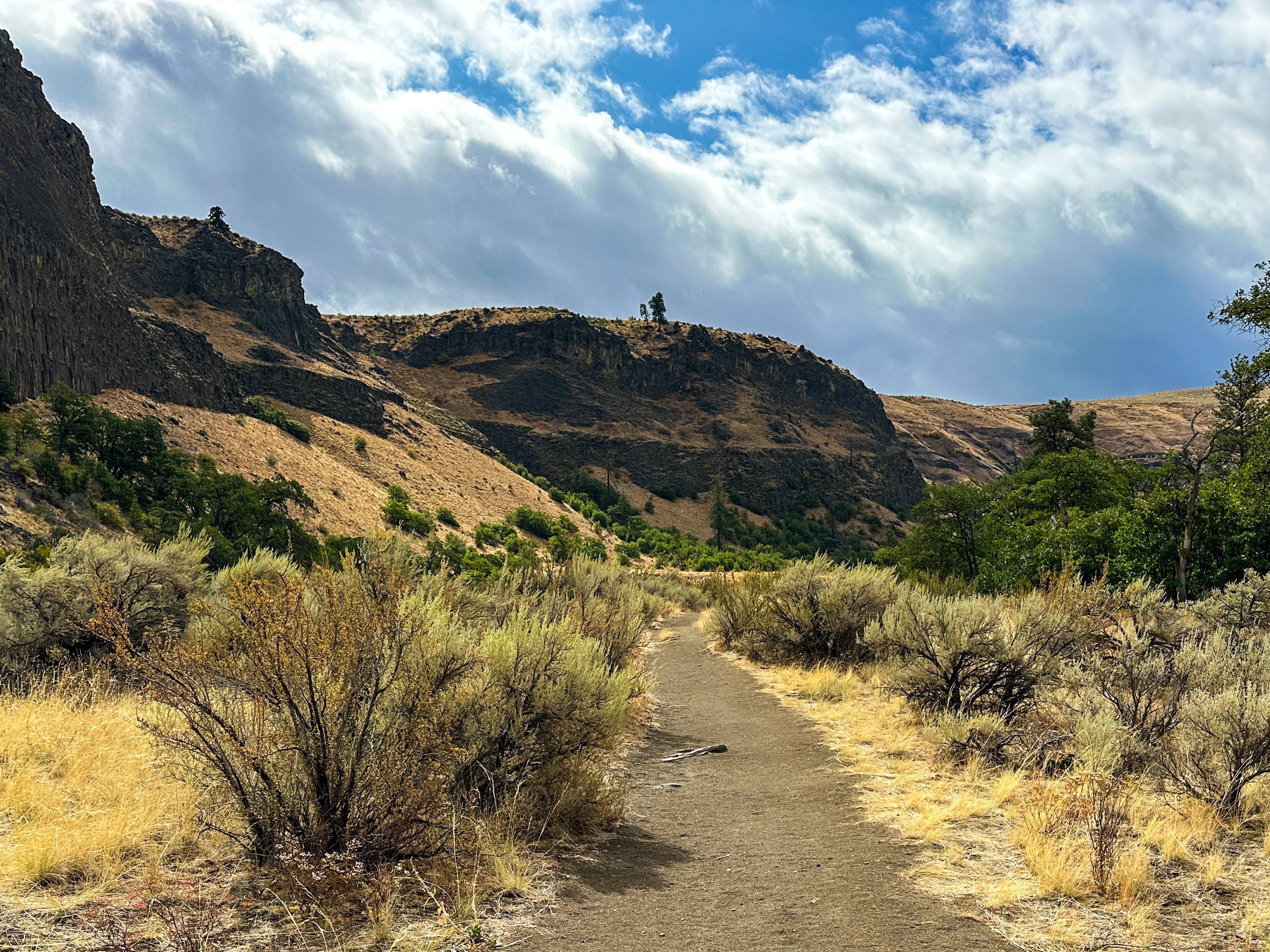
Photo by David Hagen.
Created in 1993 as a preserve for the basalt daisy flower along Selah Creek, the Selah Cliffs Natural Area Preserve has a half-mile interpretive loop trail and an additional two-mile out-and-back trail for those looking for something longer. Hikers can take in the large cliffs and wildlife in the preserve on the trail. Note that this is a hiker-only trail, and dogs are not permitted.
> Plan your trip to Selah Cliffs Natural Area Preserve using WTA's Hiking Guide
Cowiche Canyon
Location: Central Washington -- Yakima
Length: 20.0 miles of trails
Elevation gain: varies
Public transportation: no

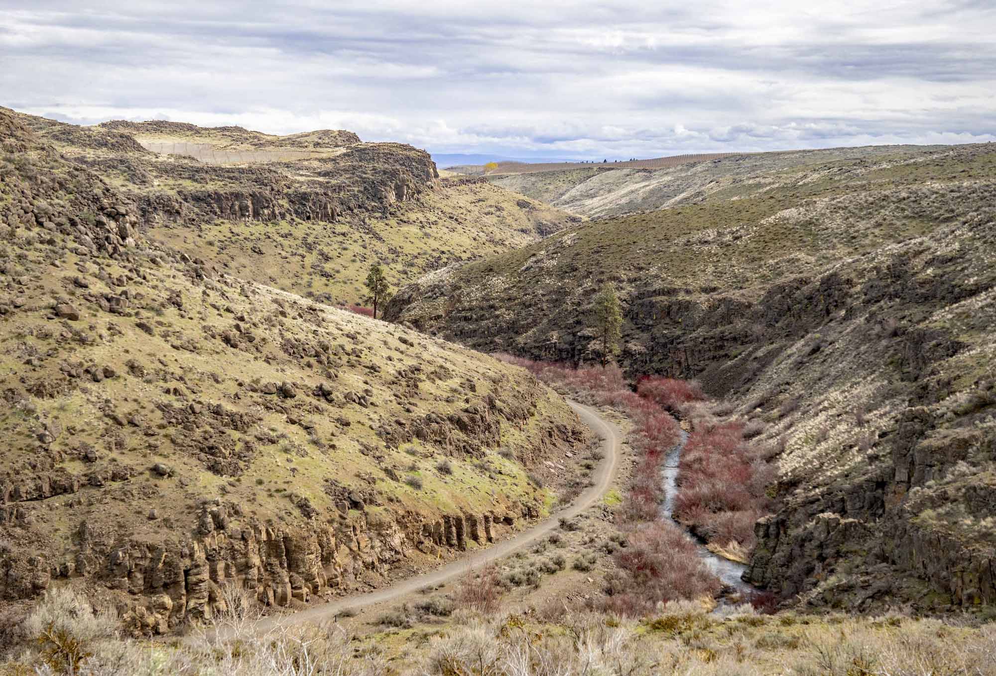
Photo by David Hagen.
Create your own adventure at Cowiche Canyon, which has 20 miles of trail for hikers to piece together to make a unique hike. Trails meander through the canyon, as well as above the canyon, allowing for very diverse experiences depending on where hikers choose to go. Wildflowers dot the canyon in springtime and leaves change in autumn, which also changes the scenery dramatically throughout the year.
> Plan your trip to Cowiche Canyon using WTA's Hiking Guide
Yakima Greenway
Location: Central Washington -- Yakima
Length: 10.0 miles, roundtrip
Elevation gain: 100 feet
Public transportation: yes

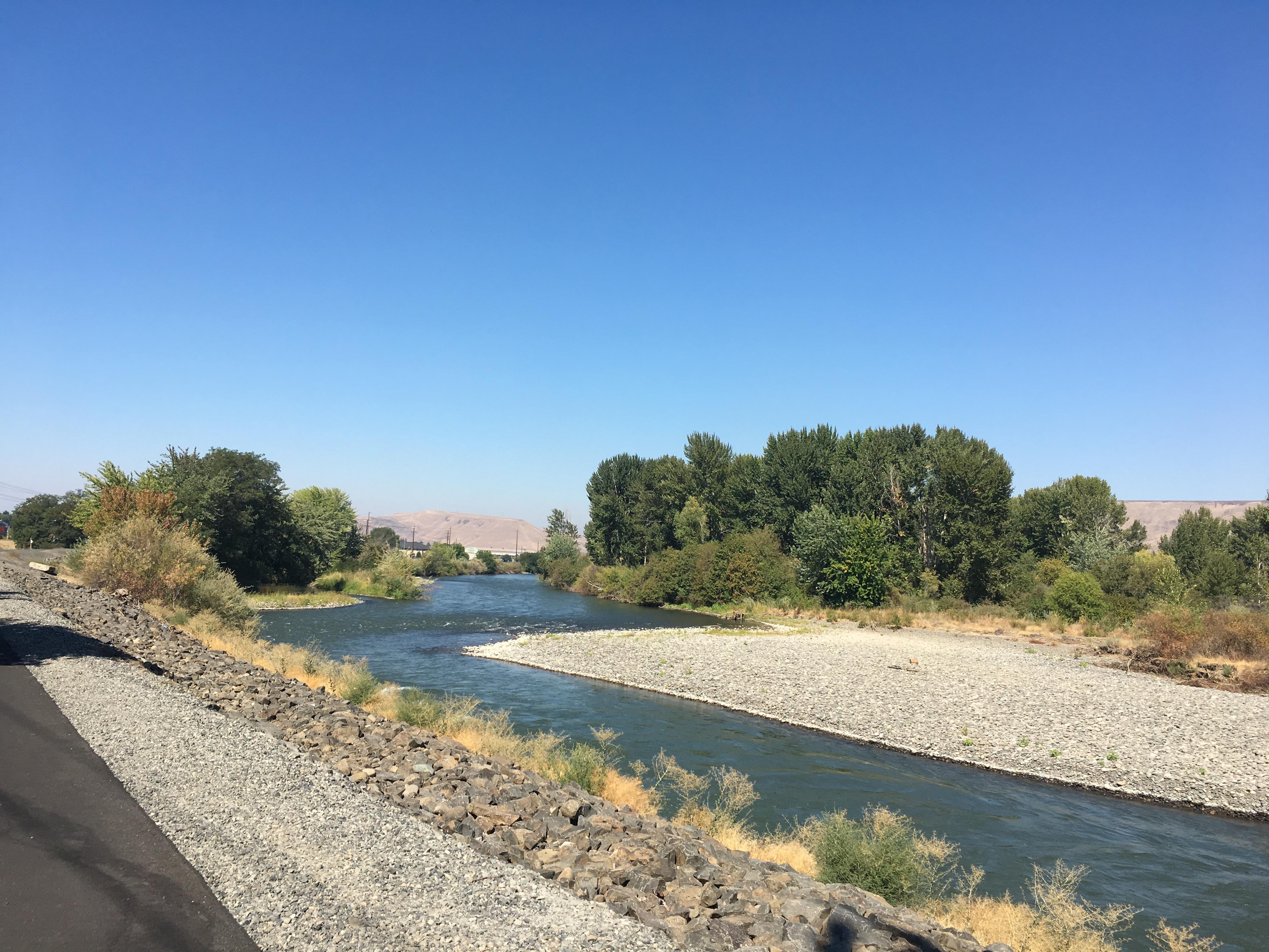
Photo by wishfulwanderer.
The Yakima Greenway is entirely paved with multiple access points, and runs along the Yakima and Naches Rivers for 10 miles, giving hikers the choice of how long they'd like their hike to be. The area abounds with wildlife, and birdwatchers will be especially satisfied. A number of features dot the trail, including playgrounds, parks and picnic areas, making it a great trail to spend an entire day outside.
> Plan your trip to Yakima Greenway using WTA's Hiking Guide
Toppenish National Wildlife Refuge
Location: Central Washington -- Yakima
Length: 2.0 miles of trails
Elevation gain: 0 feet
Public transportation: no

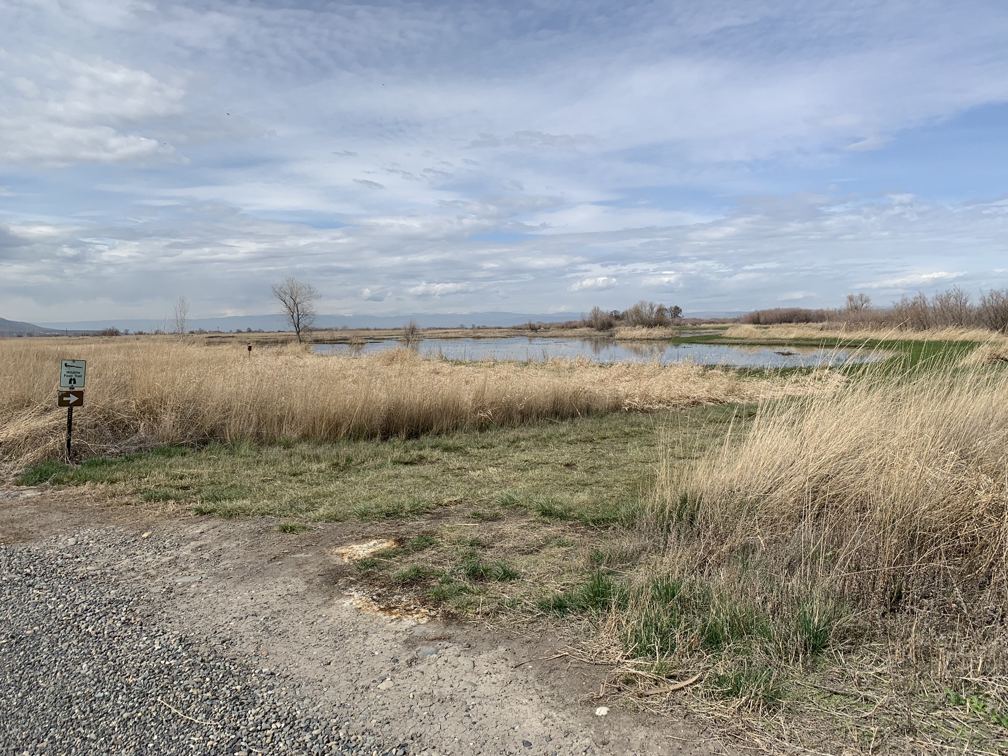
Photo by laurie.dermer.
As a refuge, Toppenish National Wildlife Refuge has plenty of flora and fauna to enjoy. Hikers may run into a wide variety of birds in the wetlands, as well as flowers and other plant life around the ponds. A short trail takes hikers to a viewing platform with informational signs about the area, which loops back around to the trailhead.
> Plan your trip to Toppenish National Wildlife Refuge using WTA's Hiking Guide
Tieton River Nature TRail
Location: Central Washington -- Yakima
Length: 6.75 miles, roundtrip
Elevation gain: 300 feet
Public transportation: no

Photo by Mary&Molly.
Take a hike along the Tieton River through the river canyon — a great option for folks of all hiking levels. Depending on the season, you might see wildflowers, fall colors and all sorts of wildlife. Make sure to pack sun protection — the lack of tree cover means wide views of the area around you, but also very little shade!
> Plan your hike on the Tieton River Nature Trail using WTA's Hiking Guide
Ahtanum State Forest - Whites Ridge
Location: Central Washington -- Yakima
Length: 10.9 miles, roundtrip
Elevation gain: 1,900 feet
Public transportation: no

Photo by laceme.
This state forest has a couple of different trails for hikers to explore and — luckily enough — one of them is delightfully close to the city. The Whites Ridge trail is a forested loop with Whites Ridge on the far end of the loop from the trailhead. Along the way, you'll get views of Yakima Valley and Mount Adams.
> Plan your trip to Ahtanum State Forest - Whites Ridge using WTA's Hiking Guide

